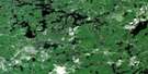
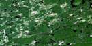
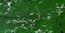
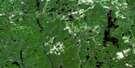
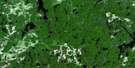
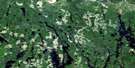
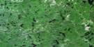
Biscotasing Satellite Image Map
Download Free Aerial Photo 041O08 at 1:50,000 scale
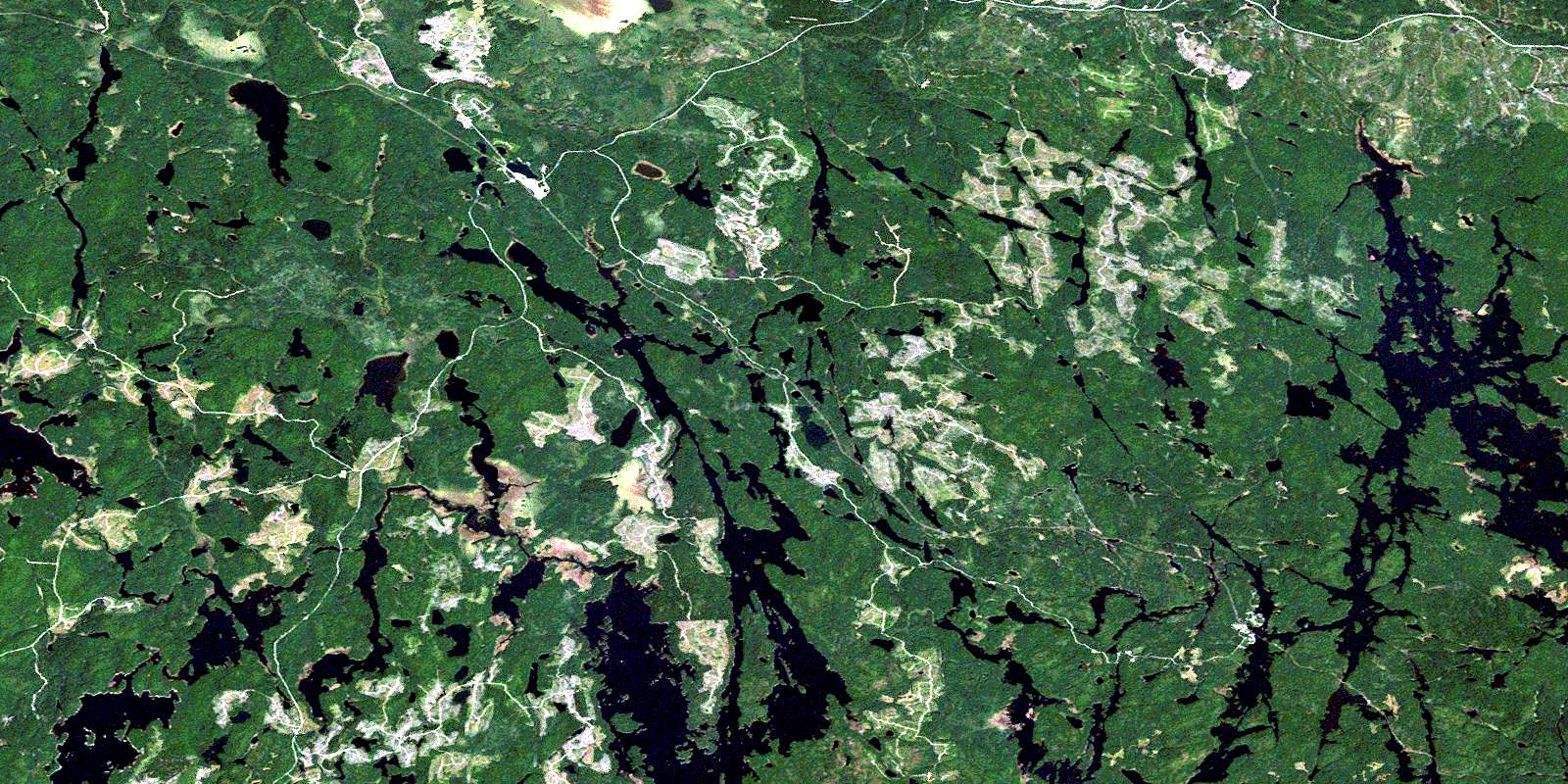
Biscotasing Satellite Imagery
To view this satellite map, mouse over the air photo on the right.
You can also download this satellite image map for free:
041O08 Biscotasing high-resolution satellite image map.
Maps for the Biscotasing aerial map sheet 041O08 at 1:50,000 scale are also available in these versions:
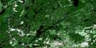
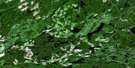
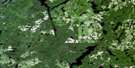
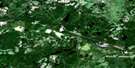
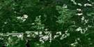
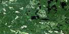
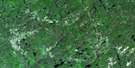
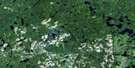
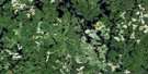
Biscotasing Surrounding Area Aerial Photo Maps
 |
 |
 |
 |
 |
 |
 |
 |
 |
 |
 |
 |
 |
 |
 |
 |
© Department of Natural Resources Canada. All rights reserved.
Biscotasing Gazetteer
The following places can be found on satellite image map 041O08 Biscotasing:
Biscotasing Satellite Image: Bays
Cat BayDeschene Bay
East Arm
Flying Post Bay
Gowganda Bay
Grey Owl Bay
Longspur Bay
Metagama Bay
Northwest Arm
Norton Arm
Biscotasing Satellite Image: Capes
Wind PointBiscotasing Satellite Image: Channels
Crooked NarrowsStraight Narrows
Biscotasing Satellite Image: Falls
Spanish ChutesBiscotasing Satellite Image: Geographical areas
129
Abney
Alcona
Arbutus
Biscotasi
Carew
Cavell
Ceylon
Edith
Elizabeth
Faust
Fingal
Hall
Hollinger
Hong Kong
Hubbard
Joffre
Lillie
Margaret
Smuts
Sudbury
Yeo
Biscotasing Satellite Image: Islands
Dead Horse IslandGrey Owl Island
Grey Owl Island
Legace Island
Pansy Island
Biscotasing Satellite Image: Lakes
Abney LakeAlcona Lake
Bardney Lake
Bear Lake
Biscotasi Lake
Biskotasi Lake
Boucher Lake
Carew Lake
Cat Lake
Cave Lake
Cavell Lake
First Lake
Fox Lake
Frechette Lake
Gandet Lake
Heart Lake
Houghton Lake
Joffre Lake
Kabetako Lake
Kane Lake
Keast Lake
Klemmer Lake
Kolosta Lake
Leblanc Lake
Little Cave Lake
Lost Lake
Lower Turnbull Lake
Macle Lake
Moonshine Lake
Moose Lake
Myre Lake
Ramsay Lake
Ramsey Lake
Roberts Lake
Scarp Lake
Shanacy Lake
Sheldon Lake
Spanish Lake
Syko Lake
Tassie Lake
Tower Lake
Turf Lake
Turnbull Lake
View Lake
White Pine Lake
Biscotasing Satellite Image: Conservation areas
Biscotasi Lake Provincial ParkMississagi River Provincial Park
Spanish River Provincial Park
Biscotasing Satellite Image: Rivers
Alcona CreekBardney Creek
Biscotasi Creek
Biskotasi Creek
Cavell Creek
Hogsback Channel
Norton Creek
Ramsey Creek
Resinosa River
Spanish River
Tassie Creek
Turnbull Creek
Biscotasing Satellite Image: Unincorporated areas
BiscotasingBowen
Drefal
Ramsay
Ramsey
Roberts
Sheldon
© Department of Natural Resources Canada. All rights reserved.
041O Related Maps:
041O Chapleau041O01 Indian Lake
041O02 White Owl Lake
041O03 Mountain Ash Lake
041O04 Welcome Lake
041O05 Bulley Lake
041O06 Wenebegon Lake
041O07 Wakami Lake
041O08 Biscotasing
041O09 Opeepeesway Lake
041O10 Sultan
041O11 Nemegos
041O12 Graveyard Lake
041O13 Nicholson
041O14 Chapleau
041O15 Rollo Lake
041O16 Rush Lake
