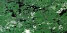
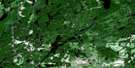
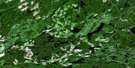
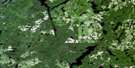
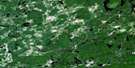
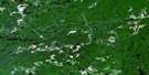
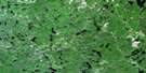
Wenebegon Lake Satellite Image Map
Download Free Aerial Photo 041O06 at 1:50,000 scale
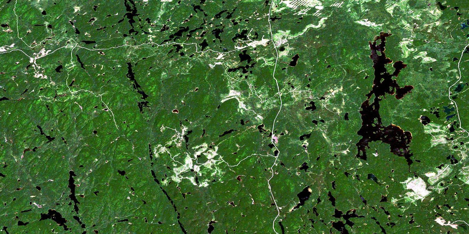
Wenebegon Lake Satellite Imagery
To view this satellite map, mouse over the air photo on the right.
You can also download this satellite image map for free:
041O06 Wenebegon Lake high-resolution satellite image map.
Maps for the Wenebegon Lake aerial map sheet 041O06 at 1:50,000 scale are also available in these versions:
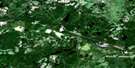
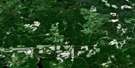
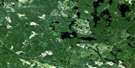
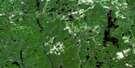
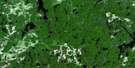
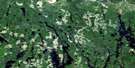
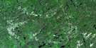
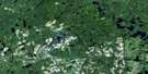
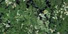
Wenebegon Lake Surrounding Area Aerial Photo Maps
 |
 |
 |
 |
 |
 |
 |
 |
 |
 |
 |
 |
 |
 |
 |
 |
© Department of Natural Resources Canada. All rights reserved.
Wenebegon Lake Gazetteer
The following places can be found on satellite image map 041O06 Wenebegon Lake:
Wenebegon Lake Satellite Image: Bays
Berthelot BayWenebegon Lake Satellite Image: Geographical areas
10C10D
10E
10F
10G
11C
11D
11E
11F
11G
8C
8D
8E
8F
8G
9C
9D
9E
9F
9G
Beckett
Bernier
Birch
Bounsall
Carruthers
Carton
Cassidy
Deans
Drea
Green
Hutcheon
Jeffries
Kalen
Langlois
Lynch
Patenaude
Reaney
Strom
Sudbury
Vondette
Whitehead
Wenebegon Lake Satellite Image: Lakes
Bobcam LakeBurntwood Lake
Burying Lake
Buttonshoe Lake
Campbell Lake
Chene Lake
Clove Lake
Cow Lake
Firetrail Lake
Flame Lake
Gagne Lake
Grip Lake
Haddock Lake
Harland Lake
Honey Lake
Isbister Lake
Kolari Lake
Mather Lake
McCallum Lake
Nemi Lake
Nushatogaini Lake
Ojay Lake
Peedy Lake
Peggy Lake
Pike Lake
Portal Lake
Prairie Grass Lake
Robinson Lake
Shand Lake
Stickland Lake
Tassel Lake
Vezina Lake
Vincent Lake
Wabus Lake
Wenebegon Lake
Weshaygo Lake
White Rat Lake
Wolotka Lake
Zimmerman Lake
Wenebegon Lake Satellite Image: Conservation areas
East Wenebegon Forest Conservation ReserveWenebegon River Provincial Park
Wenebegon Lake Satellite Image: Rivers
Aubinadong RiverBurntwood River
Cow River
Dead Mans Creek
Farewell Creek
Firetrail Creek
Haddock Creek
Harland Creek
Honey Creek
Kebskwasheshi River
Little Wenebegon River
Nushatogaini River
Robinson Creek
Wabus Creek
Wenebegon River
Zimmerman Creek
© Department of Natural Resources Canada. All rights reserved.
041O Related Maps:
041O Chapleau041O01 Indian Lake
041O02 White Owl Lake
041O03 Mountain Ash Lake
041O04 Welcome Lake
041O05 Bulley Lake
041O06 Wenebegon Lake
041O07 Wakami Lake
041O08 Biscotasing
041O09 Opeepeesway Lake
041O10 Sultan
041O11 Nemegos
041O12 Graveyard Lake
041O13 Nicholson
041O14 Chapleau
041O15 Rollo Lake
041O16 Rush Lake
