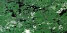
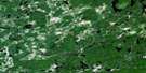
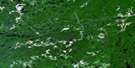
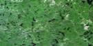
Nemegos Satellite Image Map
Download Free Aerial Photo 041O11 at 1:50,000 scale
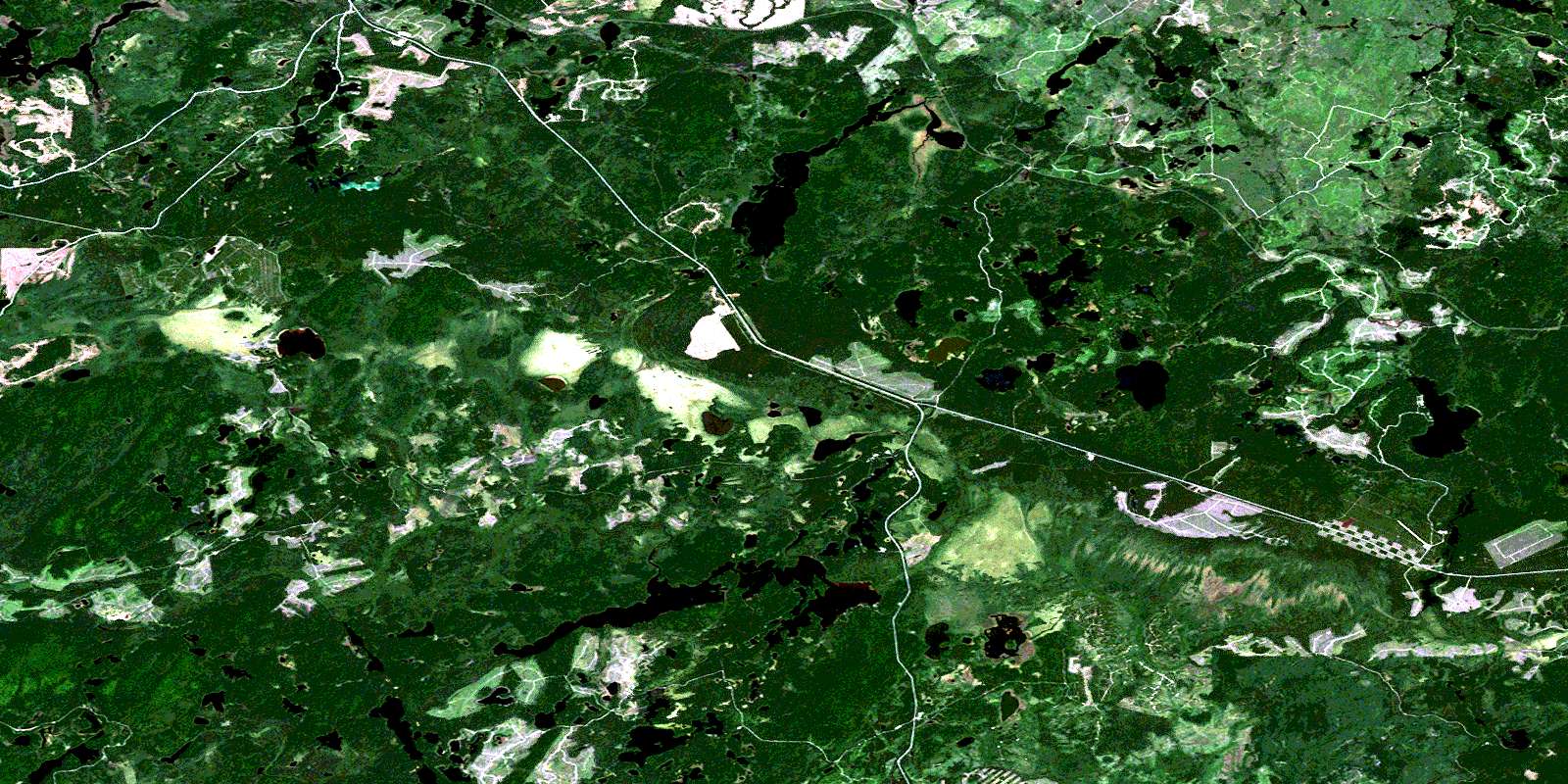
Nemegos Satellite Imagery
To view this satellite map, mouse over the air photo on the right.
You can also download this satellite image map for free:
041O11 Nemegos high-resolution satellite image map.
Maps for the Nemegos aerial map sheet 041O11 at 1:50,000 scale are also available in these versions:
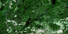
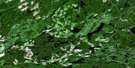
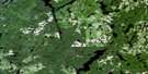
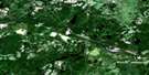
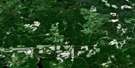
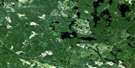
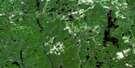
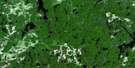
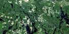
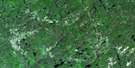
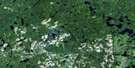
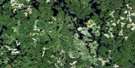
Nemegos Surrounding Area Aerial Photo Maps
 |
 |
 |
 |
 |
 |
 |
 |
 |
 |
 |
 |
 |
 |
 |
 |
© Department of Natural Resources Canada. All rights reserved.
Nemegos Gazetteer
The following places can be found on satellite image map 041O11 Nemegos:
Nemegos Satellite Image: Geographical areas
11C11D
11E
11F
11G
12E
12F
28
29
Chappise
Daoust
de Gaulle
Delaney
Dupuis
Green
Halsey
Jeffries
Kalen
Mountbatten
Nimitz
Reaney
Strom
Sudbury
Nemegos Satellite Image: Indian Reserves
Mountbatten 76AMountbatten Indian Reserve 76A
Réserve indienne Mountbatten 76A
Nemegos Satellite Image: Lakes
Commando LakeCow Lake
Crescent Lake
Draper Lake
Esker Lake
Five Mile Lake
Florence Lake
Flyline Lake
Gog Lake
Halsey Lake
Handclasp Lake
Hill Lake
Kindogan Lake
Least Lake
Leatherleaf Lake
Little Wenebegon Lake
Louise Lake
Magog Lake
Marylyn Lake
McLennan Lake
McNally Lake
Moodie Lake
Mountbatten Lake
Nemegos Lake
Nephic Lake
Nimitz Lake
Northwind Lake
Olympic Lake
Pack Sack Lake
Palette Lake
Peacock Lake
Pirie Lake
Poulin Lake
Red Bark Lake
Riff Lake
Ruth Lake
Saylors Lake
Seven Mile Lake
Sideburned Lake
Small Lake
South Ivanhoe Lake
Toe Lake
Tony Lake
Tophet Lake
Trap Lake
Umisk Lake
Unegam Lake
Unit Lake
Vezina Lake
White Bark Lake
Whitney Lake
Wiener Lake
Nemegos Satellite Image: Conservation areas
Five Mile Lake Provincial ParkNemegos Satellite Image: Rivers
Aubinadong RiverCow River
Ivanhoe River
Kindogan Creek
Kinogama River
Koko Creek
Little Wenebegon River
McLennan Creek
Nemegosenda River
Nimitz Creek
Pemache River
Poulin Creek
Riff Creek
Rivière Nemegosenda
Tony Creek
Tophet Creek
Trap Creek
Wenebegon River
Nemegos Satellite Image: Unincorporated areas
KinogamaNemegos
Poulin
Tophet
© Department of Natural Resources Canada. All rights reserved.
041O Related Maps:
041O Chapleau041O01 Indian Lake
041O02 White Owl Lake
041O03 Mountain Ash Lake
041O04 Welcome Lake
041O05 Bulley Lake
041O06 Wenebegon Lake
041O07 Wakami Lake
041O08 Biscotasing
041O09 Opeepeesway Lake
041O10 Sultan
041O11 Nemegos
041O12 Graveyard Lake
041O13 Nicholson
041O14 Chapleau
041O15 Rollo Lake
041O16 Rush Lake
