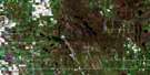
Moore Park Satellite Image Map
Download Free Aerial Photo 062J04 at 1:50,000 scale
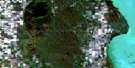
Moore Park Satellite Imagery
To view this satellite map, mouse over the air photo on the right.
You can also download this satellite image map for free:
062J04 Moore Park high-resolution satellite image map.
Maps for the Moore Park aerial map sheet 062J04 at 1:50,000 scale are also available in these versions:
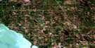
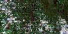
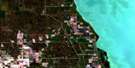
Moore Park Surrounding Area Aerial Photo Maps
 |
 |
 |
 |
 |
 |
 |
 |
 |
 |
 |
 |
 |
 |
 |
 |
© Department of Natural Resources Canada. All rights reserved.
Moore Park Gazetteer
The following places can be found on satellite image map 062J04 Moore Park:
Moore Park Satellite Image: Hydraulic construction
Brookdale DrainMoore Park Satellite Image: Lakes
Lewis LakeMoore Park Satellite Image: Other municipal/district area - miscellaneous
EltonLangford
Minto
North Cypress
Odanah
Rosedale
Saskatchewan
Moore Park Satellite Image: Rivers
Boggy CreekEast Branch Willow Creek
Franklin Creek
Little Saskatchewan River
Minnedosa River
Neepawa Creek
Stony Creek
West Branch Willow Creek
West Spring Creek
Moore Park Satellite Image: Towns
MinnedosaMoore Park Satellite Image: Unincorporated areas
AmeerBrookdale
Cordova
Franklin
Haanel
Mentmore
Moore Park
Moorepark
Riverdale
Rufford
Tremaine
Varcoe
Moore Park Satellite Image: Low vegetation
McConnell Slough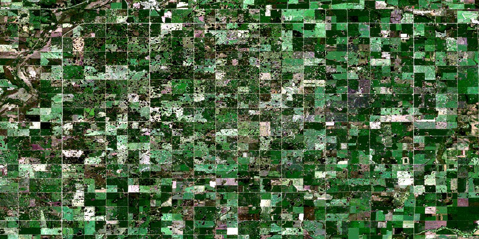
© Department of Natural Resources Canada. All rights reserved.
