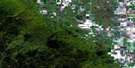
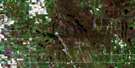
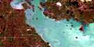
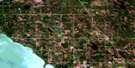
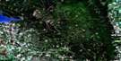
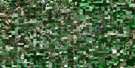
Glenella Satellite Image Map
Download Free Aerial Photo 062J11 at 1:50,000 scale
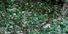
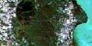
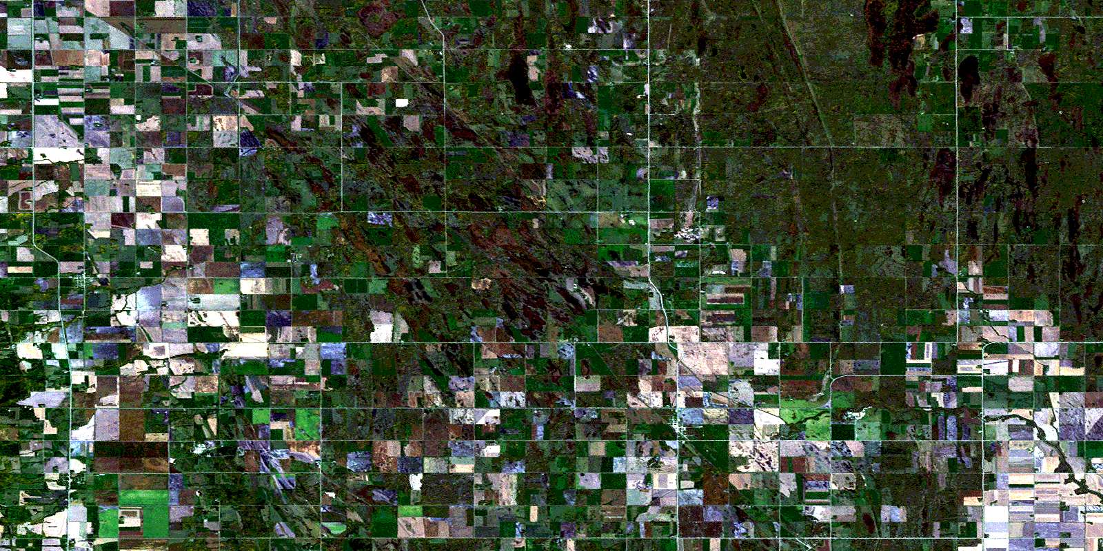
Glenella Satellite Imagery
To view this satellite map, mouse over the air photo on the right.
You can also download this satellite image map for free:
062J11 Glenella high-resolution satellite image map.
Maps for the Glenella aerial map sheet 062J11 at 1:50,000 scale are also available in these versions:
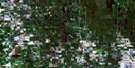
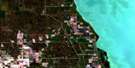
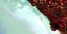
Glenella Surrounding Area Aerial Photo Maps
 |
 |
 |
 |
 |
 |
 |
 |
 |
 |
 |
 |
 |
 |
 |
 |
© Department of Natural Resources Canada. All rights reserved.
Glenella Gazetteer
The following places can be found on satellite image map 062J11 Glenella:
Glenella Satellite Image: Hydraulic construction
Big Grass River Angle DitchCorrection Line Drain
Glencairn Ditch
Glenella Drain
Kuyp Drain
Norgate Drain
Reeve Drain
Riding Mountain Drain
Rocklan Drain
Glenella Satellite Image: Lakes
Bing LakeBlack Poplar Bluff Lake
Gilmore Lake
Little Pockett Lake
Marys Lake
Pockett Lake
Silver Lake
Sul Lake
Glenella Satellite Image: Mountains
Lanbourne RidgeGlenella Satellite Image: Other municipal/district area - miscellaneous
AlonsaGlenella
Lansdowne
McCreary
Rosedale
Westbourne
Glenella Satellite Image: Conservation areas
Whitemud Watershed Wildlife Management AreaGlenella Satellite Image: Rivers
Big Grass RiverBirnie Creek
Garrioch Creek
Kinch Creek
McLung Creek
North Snake Creek
Pelican Creek
Turtle River
Glenella Satellite Image: Road features
Parks RouteRoute des parcs
Glenella Satellite Image: Unincorporated areas
BellhamptonGlencairn
Glenella
Glenhope
Kelwood
Norgate
Reeve
Riding Mountain
Sunville
Tenby
Waldersee
© Department of Natural Resources Canada. All rights reserved.
