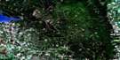
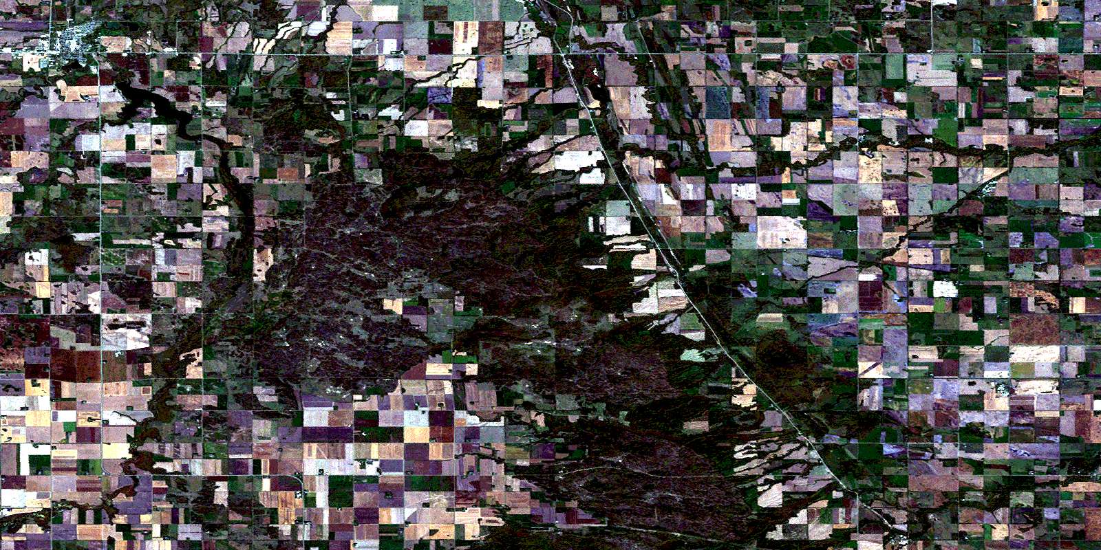
Neepawa Satellite Image Map
Download Free Aerial Photo 062J03 at 1:50,000 scale
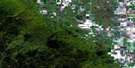
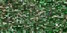
Neepawa Satellite Imagery
To view this satellite map, mouse over the air photo on the right.
You can also download this satellite image map for free:
062J03 Neepawa high-resolution satellite image map.
Maps for the Neepawa aerial map sheet 062J03 at 1:50,000 scale are also available in these versions:
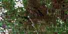
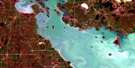
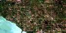
Neepawa Surrounding Area Aerial Photo Maps
 |
 |
 |
 |
 |
 |
 |
 |
 |
 |
 |
 |
 |
 |
 |
 |
© Department of Natural Resources Canada. All rights reserved.
Neepawa Gazetteer
The following places can be found on satellite image map 062J03 Neepawa:
Neepawa Satellite Image: Hydraulic construction
Brookdale DrainFourth Base Drain
Gaddy Drain
Gillespie Drain
Helston Drain
Irwin Dam
Leppington Drain
Neepawa Satellite Image: Lakes
Belous LakeDudenhoffer Lake
Lake Irwin
Park Lake
Neepawa Satellite Image: Mountains
Arden RidgeBuck Hill
Daredevil Hill
Lookout Hill
Weiner Hill
Neepawa Satellite Image: Other municipal/district area - miscellaneous
LangfordLansdowne
North Cypress
North Norfolk
Rosedale
Westbourne
Neepawa Satellite Image: Conservation areas
Whitemud Watershed Wildlife Management AreaNeepawa Satellite Image: Rivers
Bear Cat CreekBear Creek
Boggy Creek
Franklin Creek
Golden Stream
Mink Creek
Neepawa Creek
Pine Creek
Stony Creek
Whitemud River
Whitemud River
Neepawa Satellite Image: Road features
Parks RouteRoute des parcs
Neepawa Satellite Image: Towns
NeepawaNeepawa Satellite Image: Unincorporated areas
Carberry JunctionEdrans
Hallboro
Helston
Hummerston
Keyes
Lobbville
Mekiwin
Munroe
Oberon
Osprey
Pine Creek Station
Wellwood
© Department of Natural Resources Canada. All rights reserved.
