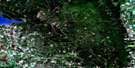
Eriksdale Satellite Image Map
Download Free Aerial Photo 062J16 at 1:50,000 scale
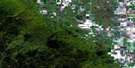
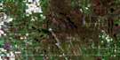
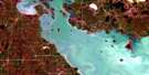
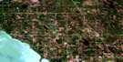
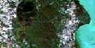
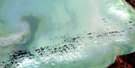
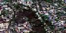
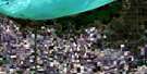
Eriksdale Satellite Imagery
To view this satellite map, mouse over the air photo on the right.
You can also download this satellite image map for free:
062J16 Eriksdale high-resolution satellite image map.
Maps for the Eriksdale aerial map sheet 062J16 at 1:50,000 scale are also available in these versions:
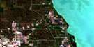
Eriksdale Surrounding Area Aerial Photo Maps
 |
 |
 |
 |
 |
 |
 |
 |
 |
 |
 |
 |
 |
 |
 |
 |
© Department of Natural Resources Canada. All rights reserved.
Eriksdale Gazetteer
The following places can be found on satellite image map 062J16 Eriksdale:
Eriksdale Satellite Image: Bays
Lily BayScotch Bay
Eriksdale Satellite Image: Beaches
Long Point BeachEriksdale Satellite Image: Capes
Elm PointLong Point
Taylors Point
Watsons Point
Eriksdale Satellite Image: Hydraulic construction
Burnt Lake DrainChippewa Creek Drain
Little Dog Lake Drain
Pine Lake Drain
Swan Lake Dam
Swan Lake Drain
Eriksdale Satellite Image: Indian Reserves
Dog Creek 46Eriksdale Satellite Image: Islands
Blues IslandsEriksdale Satellite Image: Lakes
Abes LakeBirch Lake
Buffalo Lake
Clearwater Lake
Doctors Lake
Dog Lake
Dufault Lake
Elk Lake
Kalevala Lake
Kalevala Lakes
Kalevala Lakes
Kalevala Lakes
Kalevala Lakes
Lac Manitoba
Lake Manitoba
Little Dog Lake
Monkman Lake
Pine Lake
Round Lake
School Lake
Star Lake
Steepbank Lake
Swan Lake
Eriksdale Satellite Image: Other municipal/district area - miscellaneous
ColdwellEriksdale
Grahamdale
Siglunes
Eriksdale Satellite Image: Conservation areas
Sleeve Lake Wildlife Management AreaEriksdale Satellite Image: Rivers
Swan CreekEriksdale Satellite Image: Unincorporated areas
Deer HornDeerhorn
Eriksdale
Lily Bay
MacRoss
Mulvihill
Oatfield
Overton
Pebble Beach
Pine View
Scotch Bay
Eriksdale Satellite Image: Low vegetation
Long Lake Marsh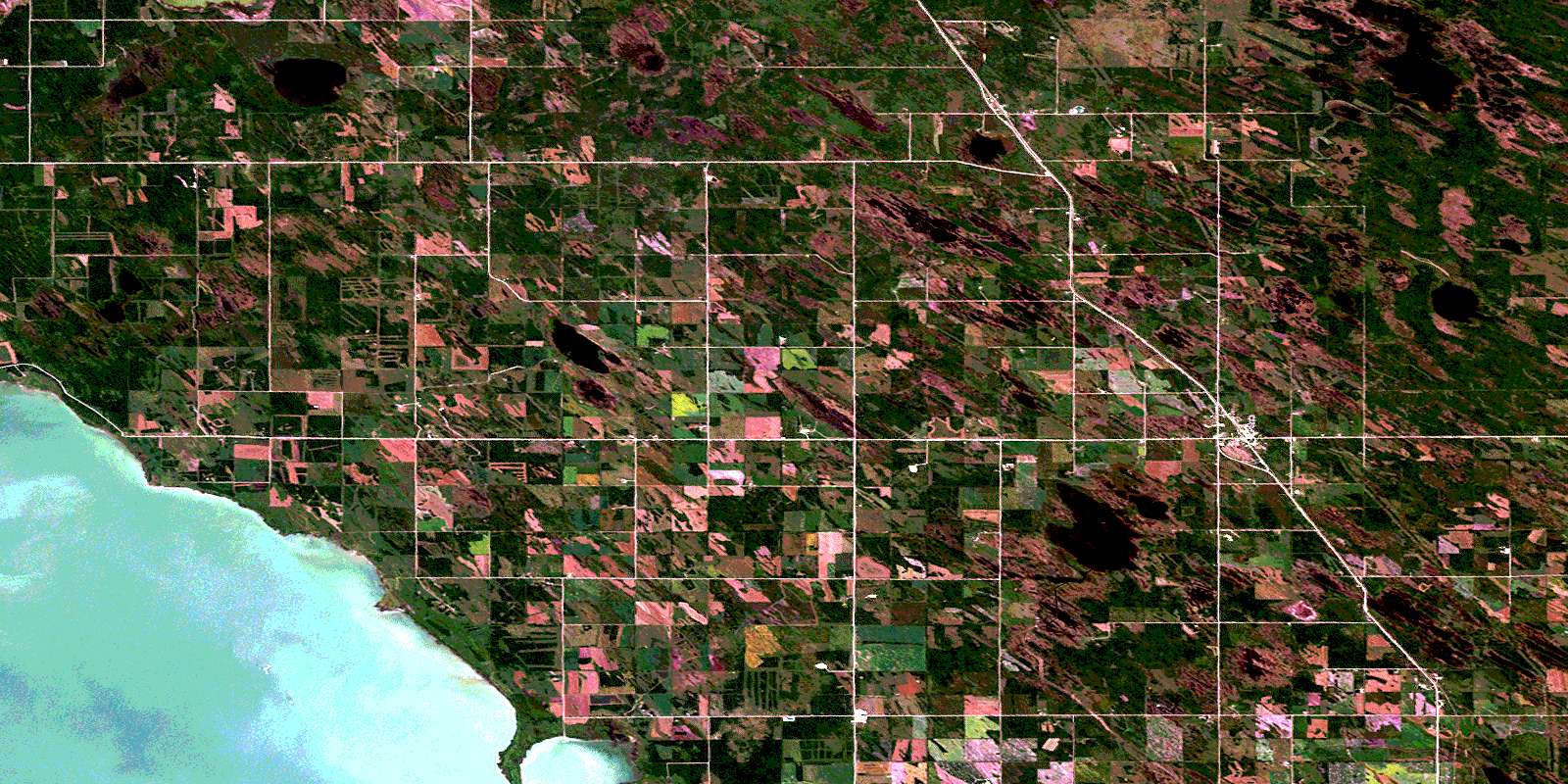
© Department of Natural Resources Canada. All rights reserved.
