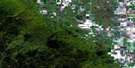
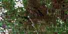
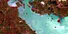
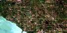
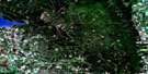
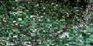
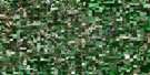
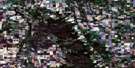
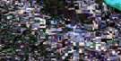
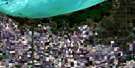
Mccreary Satellite Image Map
Download Free Aerial Photo 062J14 at 1:50,000 scale
Mccreary Satellite Imagery
To view this satellite map, mouse over the air photo on the right.
You can also download this satellite image map for free:
062J14 Mccreary high-resolution satellite image map.
Maps for the Mccreary aerial map sheet 062J14 at 1:50,000 scale are also available in these versions:
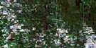
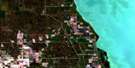
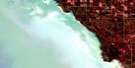
Mccreary Surrounding Area Aerial Photo Maps
 |
 |
 |
 |
 |
 |
 |
 |
 |
 |
 |
 |
 |
 |
 |
 |
© Department of Natural Resources Canada. All rights reserved.
Mccreary Gazetteer
The following places can be found on satellite image map 062J14 Mccreary:
Mccreary Satellite Image: Hydraulic construction
Big Grass River Angle DitchMccreary Satellite Image: Lakes
Beaver Dam LakeDevils Lake
Glenhope Lake
Horsejaw Lake
Last Lake
Little Otter Lake
Long Lake
Meezee Lake
North Round Lake
Onabeesh Lake
Pedro Lake
Rushmere Lake
South Round Lake
Mccreary Satellite Image: Mountains
Blueberry RidgeJackpine Ridge
Lambourne Ridge
Lanbourne Ridge
Mccreary Satellite Image: Other municipal/district area - miscellaneous
AlonsaMcCreary
Ste. Rose
Mccreary Satellite Image: Conservation areas
Alonsa Wildlife Management AreaMcCreary Wildlife Management Area
Mccreary Satellite Image: Rivers
McKinnon CreekScott Creek
Turtle River
Wilson Creek
Mccreary Satellite Image: Road features
Parks RouteRoute des parcs
Mccreary Satellite Image: Unincorporated areas
BirdiniaCutts
McCreary Junction
Portia
Ste. Amélie
Mccreary Satellite Image: Low vegetation
Clarke MarshMccreary Satellite Image: Villages
McCreary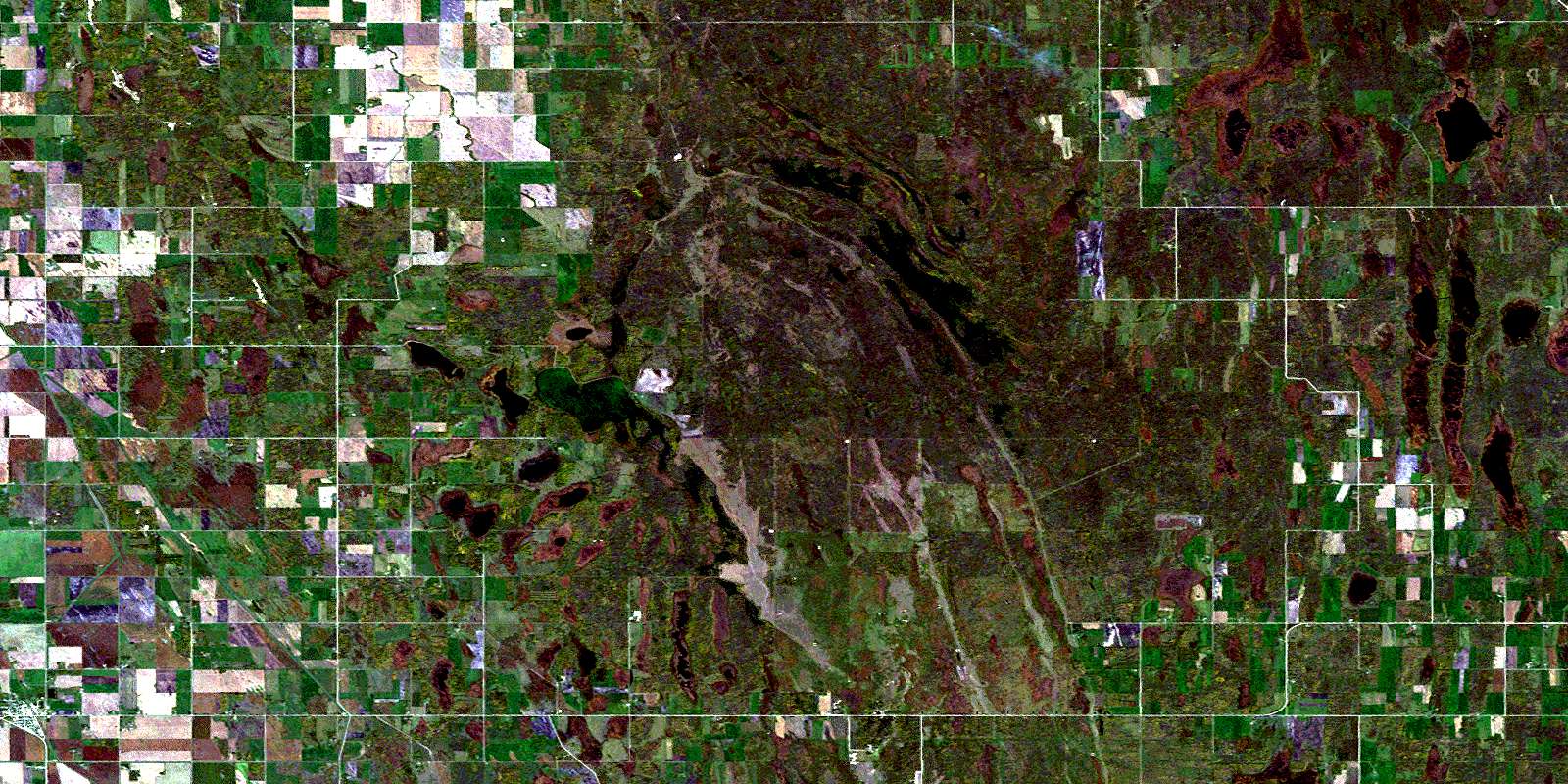
© Department of Natural Resources Canada. All rights reserved.
