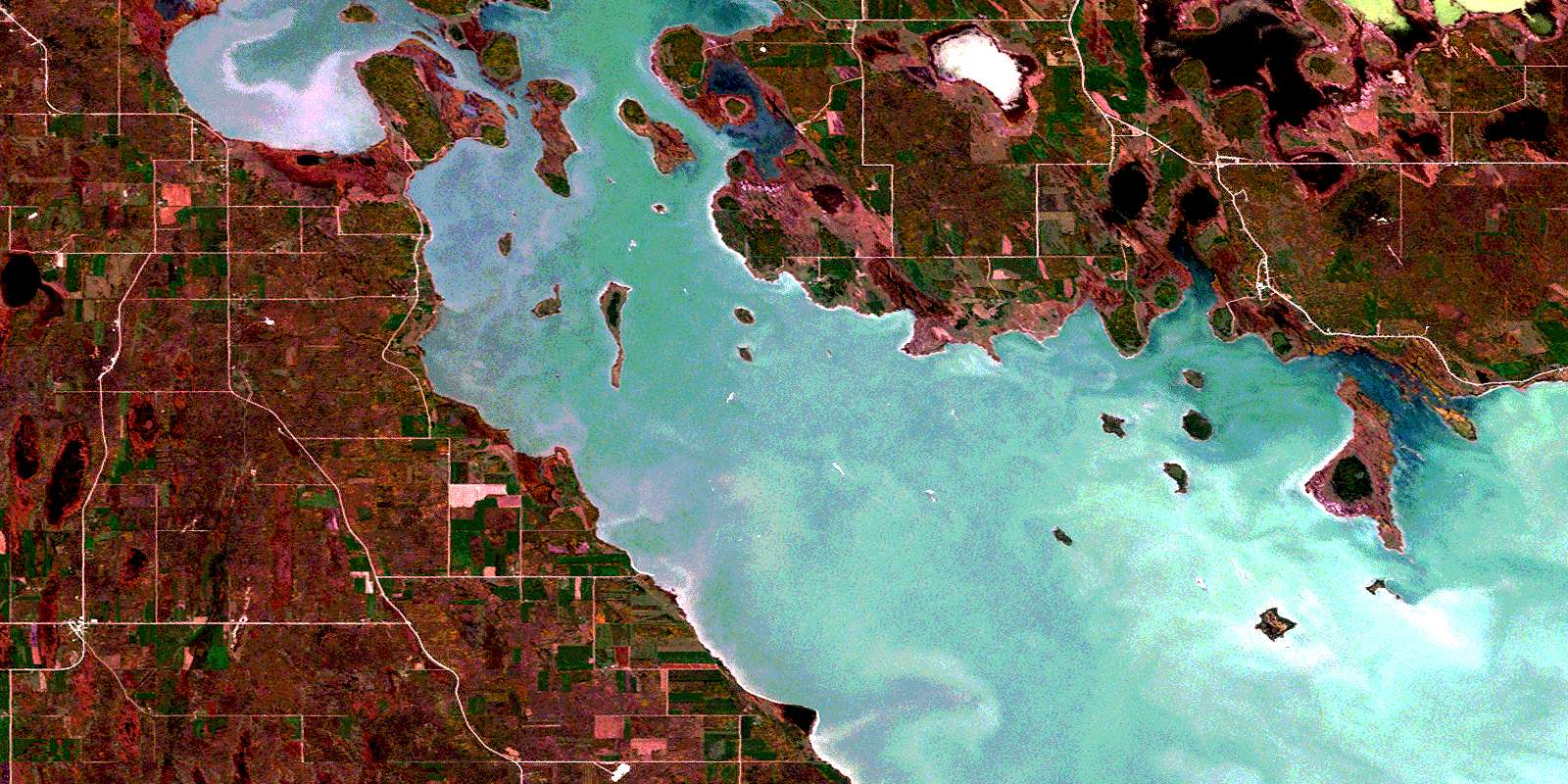
Alonsa Satellite Image Map
Download Free Aerial Photo 062J15 at 1:50,000 scale
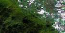
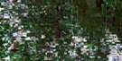
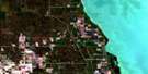
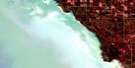
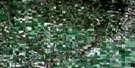
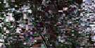
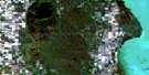
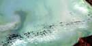
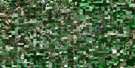
Alonsa Satellite Imagery
To view this satellite map, mouse over the air photo on the right.
You can also download this satellite image map for free:
062J15 Alonsa high-resolution satellite image map.
Maps for the Alonsa aerial map sheet 062J15 at 1:50,000 scale are also available in these versions:
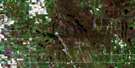
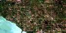
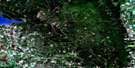
Alonsa Surrounding Area Aerial Photo Maps
 |
 |
 |
 |
 |
 |
 |
 |
 |
 |
 |
 |
 |
 |
 |
 |
© Department of Natural Resources Canada. All rights reserved.
Alonsa Gazetteer
The following places can be found on satellite image map 062J15 Alonsa:
Alonsa Satellite Image: Bays
Deception BayJonassons Bay
Pauls Bay
Sveistrup Bay
Alonsa Satellite Image: Beaches
Chiefs Point BeachAlonsa Satellite Image: Capes
Big Sandy PointHatchery Point
Isberg Point
Jims Point
Mathews Point
South Peterson Point
Alonsa Satellite Image: Channels
Grassy NarrowsAlonsa Satellite Image: Cliffs
Hatchery BluffAlonsa Satellite Image: Geographical areas
Manitoba House SettlementAlonsa Satellite Image: Hydraulic construction
Dog Lake DamDog Lake Drain
Rocklan Drain
Alonsa Satellite Image: Indian Reserves
Dog Creek 46Alonsa Satellite Image: Islands
Big Birch IslandBirch Island
Bjarnason Island
Boat Island
Channel Island
Ducharme Island
Duck Island
East Hay Island
Ghost Island
Goose Island
Gull Island
Hay Island
Jonassons Island
Lower Oak Island
McLeod Island
McLeods Island
Moss Island
Redwillow Island
Rock Island
Sheep Island
Skunk Island
West Hay Island
Alonsa Satellite Image: Lakes
Dog LakeEbb and Flow Lake
Husey Lake
Jarvies Lake
Lac Manitoba
Lake Manitoba
McRae Lake
Telegraph Lake
Alonsa Satellite Image: Mountains
Horse BluffAlonsa Satellite Image: Other municipal/district area - miscellaneous
AlonsaEriksdale
Siglunes
Alonsa Satellite Image: Conservation areas
Dog Lake Islands Game Bird RefugeDog Lake Wildlife Management Area
Margaret Bruce Provincial Park
Margaret Bruce Provincial Recreation Park
Alonsa Satellite Image: Rivers
Bluff CreekDeception Creek
Garrioch Creek
Vogar Creek
Alonsa Satellite Image: Shoals
Sand ReefAlonsa Satellite Image: Unincorporated areas
AlonsaBluff Creek
Dog Creek
Hayland
Kewanna
Kinosota
Lake Manitoba First Nation
Reedy Creek
Siglunes
Silver Ridge
Vogar
© Department of Natural Resources Canada. All rights reserved.
