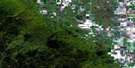
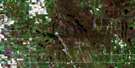
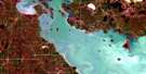
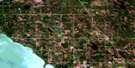
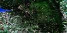
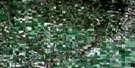
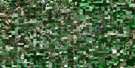
Lundar Satellite Image Map
Download Free Aerial Photo 062J09 at 1:50,000 scale
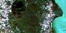
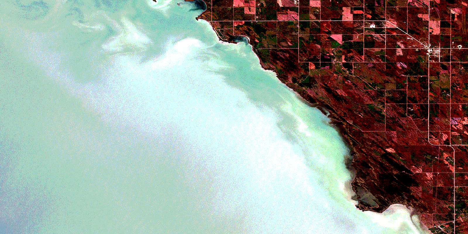
Lundar Satellite Imagery
To view this satellite map, mouse over the air photo on the right.
You can also download this satellite image map for free:
062J09 Lundar high-resolution satellite image map.
Maps for the Lundar aerial map sheet 062J09 at 1:50,000 scale are also available in these versions:
Lundar Surrounding Area Aerial Photo Maps
 |
 |
 |
 |
 |
 |
 |
 |
 |
 |
 |
 |
 |
 |
 |
 |
© Department of Natural Resources Canada. All rights reserved.
Lundar Gazetteer
The following places can be found on satellite image map 062J09 Lundar:
Lundar Satellite Image: Bays
Lily BayLundar Satellite Image: Beaches
Sigfussons BeachLundar Satellite Image: Capes
Long PointMarshy Point
Monkmans Point
Rabbit Point
Sandy Point
Sugar Point
Lundar Satellite Image: Channels
The GapLundar Satellite Image: Geographical areas
Oak Point SettlementLundar Satellite Image: Hydraulic construction
Burnt Lake DrainHatchery Drain
Mud Lake Drain
Lundar Satellite Image: Islands
Fox IslandHarris Island
Hatchery Island
Lundar Satellite Image: Lakes
Artificial LakeBluebill Lake
Channel Lake
Lac Manitoba
Lake Manitoba
Lundar Pond
Morris Lake
School Lake
Lundar Satellite Image: Conservation areas
Lundar Beach Provincial ParkLundar Beach Provincial Recreation Park
Marshy Point Game Bird Refuge
Marshy Point Goose Refuge
Marshy Point Wildlife Management Area
Lundar Satellite Image: Rivers
Channel CreekDeep Creek
First Creek
Joes Creek
Swan Creek
Wagon Creek
Lundar Satellite Image: Unincorporated areas
ClarkleighCold Springs
Lundar
Lundar Beach
Mary Hill
Minnewakan
Oak Point
© Department of Natural Resources Canada. All rights reserved.
