Bath Topo Map Online
Download Free Topo Map Sheet 031C02 at 1:50,000 scale
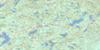
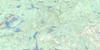
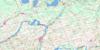
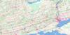
031C02 Bath Topo Map
To view this map, mouse over the map preview on the right.
You can also download this topo map for free:
031C02 Bath high-resolution topo map image.
Maps for the Bath topo map sheet 031C02 at 1:50,000 scale are also available in these versions:
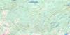
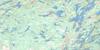
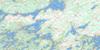
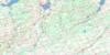
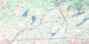
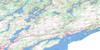
Bath Surrounding Area Topo Maps
 |
 |
 |
 |
 |
 |
 |
 |
 |
 |
 |
 |
 |
 |
 |
 |
© Department of Natural Resources Canada. All rights reserved.
Bath Gazetteer
The following places can be found on topographic map sheet 031C02 Bath:
Bath Topo Map: Bays
Amherst BayBay of Quinte
Cataraqui Bay
Collins Bay
Hay Bay
Horsey Bay
Kerr Bay
Kingston Harbour
Long Point Bay
Loyalist Cove
Mary Cove
Marys Cove
Parrott Bay
Parrotts Bay
Portsmouth Bay
Portsmouth Harbour
Preston Cove
Prince Edward Bay
Prinyer Cove
Salmon Bay
Sand Bay
Sand Bay
Sand Bay
Stella Bay
Wemps Bay
Wright Bay
Bath Topo Map: Capes
Allens PointBarry Point
Bath Point
Bell Point
Bells Point
Bluff Point
Cape Vesey
Carruthers Point
Cole Point
Cressy Point
Drain's Point
Emeric Point
Everett Point
Four Mile Point
Fourmile Point
Griffin Point
Gull Point
Indian Point
Indian Point
Kerr Point
Lemoine Point
Nicholsons Point
Nine Mile Point
Parrott Point
Pig Point
Pleasant Point
Pleasant Point
Point Pleasant
Prinyer Point
Samson Point
Staley Point
Stella Point
The Head
The Rock
Wemps Point
Bath Topo Map: Channels
Boat ChannelLower Gap
North Channel
Upper Gap
Bath Topo Map: City
KingstonPrince Edward
Bath Topo Map: Geographical areas
AdolphustownAmherst Island
Ernestown
Fredericksburgh
Frontenac
Kingston
Lennox and Addington
Marysburgh
North Fredericksburgh
North Marysburgh
Prince Edward
Richmond
South Fredericksburgh
South Marysburgh
Wolfe Island
Bath Topo Map: Islands
Amherst IslandBass Island
Brother Islands
Centre Brother
Centre Brother Island
Charter Island
Clark Island
Grape Island
Green Island
Green Islet
Hare Island
Horseshoe Island
Huffmans Island
LaForce Island
Lyons Island
Nut Island
Nut Island
Pigeon Island
Salmon Island
Simcoe Island
Snake Island
Thousand Islands
Waupoos Island
Waupoos Island
White Island
Wolfe Island
Bath Topo Map: Lakes
Lac OntarioLake Ontario
Lost Lake
Lost Lake
Mill Pond
Bath Topo Map: Mountains
Roblin HillBath Topo Map: Major municipal/district area - major agglomerations
FrontenacLennox and Addington
Bath Topo Map: Other municipal/district area - miscellaneous
AdolphustownAmeliasburgh
Amherst Island
Athol
Ernestown
Fredericksburgh
Frontenac Islands
Hallowell
Hillier
Howe Island
Kingston
Loyalist
Marysburgh
North Fredericksburgh
North Marysburgh
Pittsburgh
Richmond
Sophiasburgh
South Fredericksburgh
South Marysburgh
Wolfe Island
Bath Topo Map: Conservation areas
Bellevue House National Historic Site of CanadaLemoine Point Conservation Area
Lieu historique national du Canada de la Villa-Bellevue
Little Cataraqui Creek Valley Lands (Conservation Area)
Napanee Conservation Area
North Fredericksburgh Conservation Area
Bath Topo Map: Provinces
OntarioBath Topo Map: Rivers
Big CreekCameron Creek
Collins Creek
Cressy Creek
Fleuve Saint-Laurent
Little Cataraqui Creek
Little Creek
Loyst Creek
Millhaven Creek
Napanee River
Platts Creek
Selby Creek
Spring Creek
St. Lawrence River
Sucker Creek
Townline Creek
Wilton Creek
Bath Topo Map: River features
Adolphus ReachBath Topo Map: Shoals
Amherst BarBerdans Shoal
Big Bar Shoal
Charity Shoal
Keith Shoal
Kerr Point Shoal
Melville Shoal
Middle Ground
Penitentiary Shoal
Snake Island Bank
South Charity Shoal
Bath Topo Map: Towns
Greater NapaneeBath Topo Map: Unincorporated areas
AmherstviewAnderson
Asselstine
Auden Park
Balmoral Park
Balsam Grove
Bath
Bath Road
Bay Centre
Bayridge
Bayview
Bongard
Bongard Corners
Calvin Park
Chambers
Collins Bay
Conway
Cressy
Elmwood
Emerald
Ernestown
Fredericksburg
Galts Corner
Grenville Park
Gretna
Hawley
Hay Bay
Hayburn
Henderson Place
High Gate Park
Hillendale
Hillview
Kingscourt
Kingston
Lakeland Acres
Lakeland Point
LaSalle Park
Lawrence Park
Links Mills
Little Creek
McIntyre
Millers Corner
Millhaven
Morven
Napanee
Nicholsons Point
Parma
Point Pleasant
Polson Park
Portsmouth
Queens Acres
Reddendale
Sandhurst
Sandhurst Shores
Sillsville
Simcoe Island
South Napanee
Stella
Storms Corners
Valleyview
Waupoos
Waupoos East
Weller
Woodlands
Bath Topo Map: Low vegetation
Cressy Marsh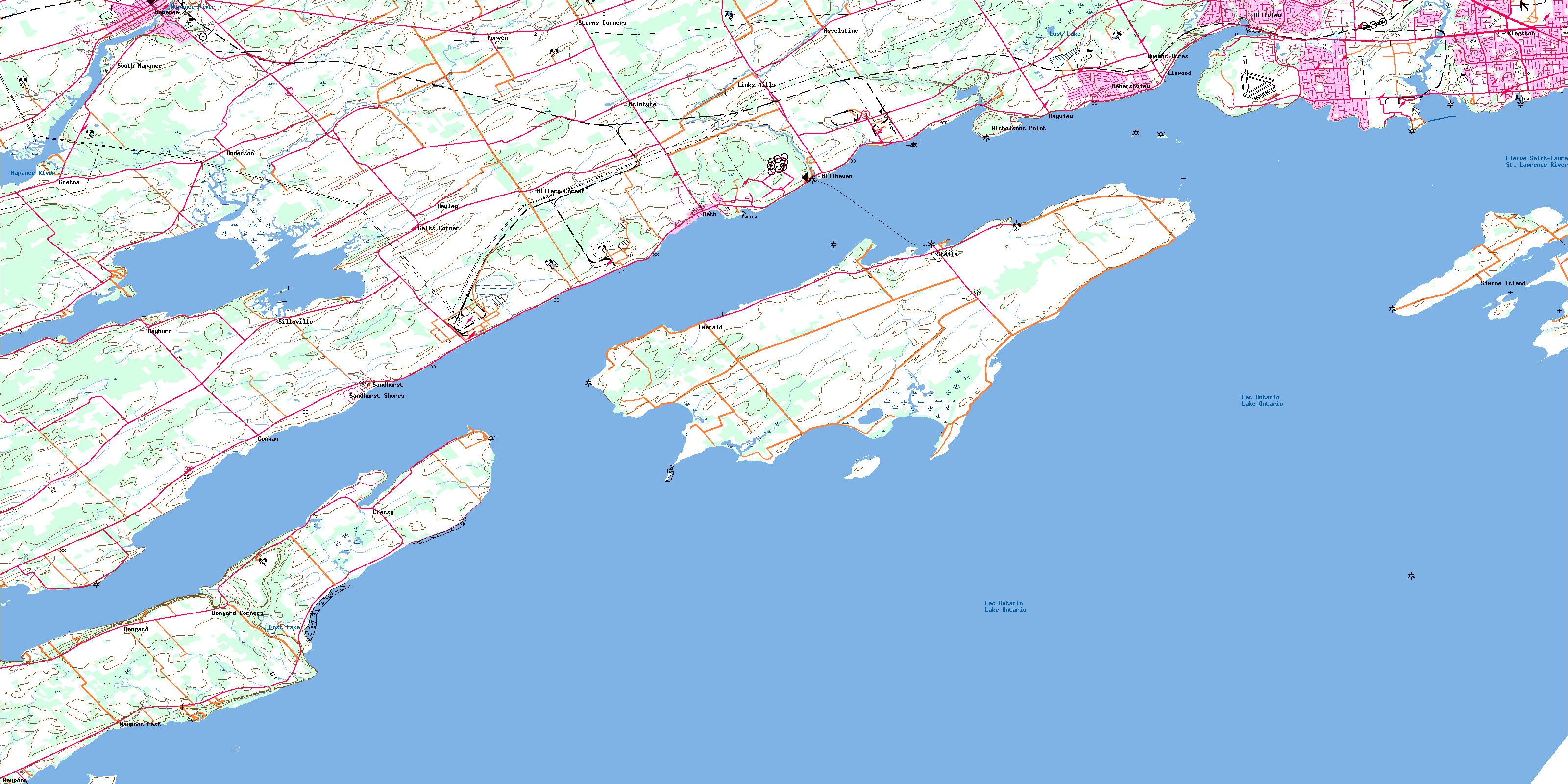
© Department of Natural Resources Canada. All rights reserved.
