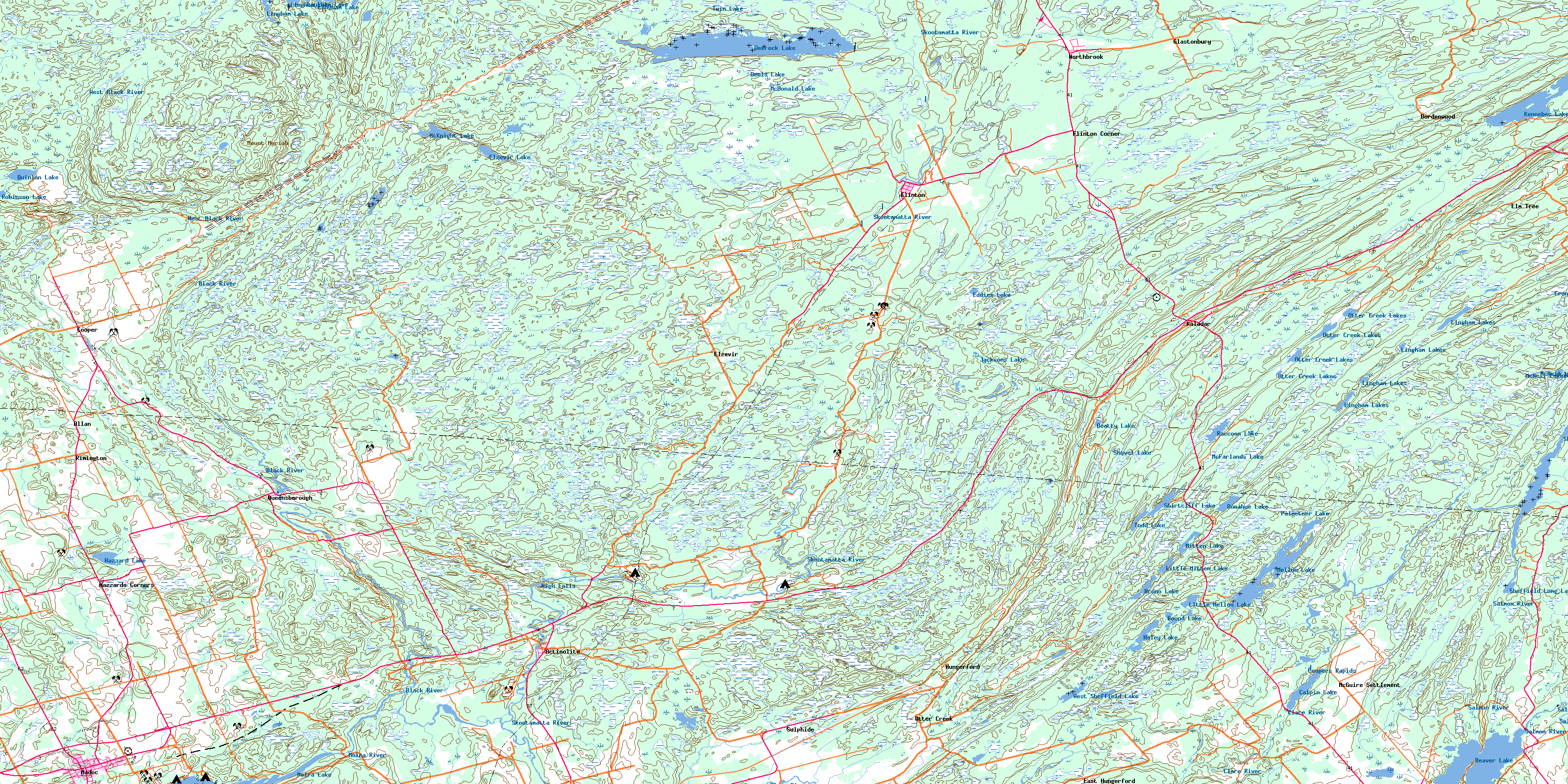
Kaladar Topo Map Online
Download Free Topo Map Sheet 031C11 at 1:50,000 scale
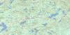
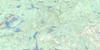
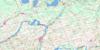
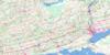
031C11 Kaladar Topo Map
To view this map, mouse over the map preview on the right.
You can also download this topo map for free:
031C11 Kaladar high-resolution topo map image.
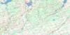
Maps for the Kaladar topo map sheet 031C11 at 1:50,000 scale are also available in these versions:
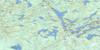
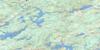
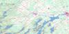
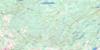
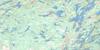
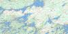
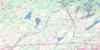
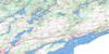
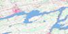
Kaladar Surrounding Area Topo Maps
 |
 |
 |
 |
 |
 |
 |
 |
 |
 |
 |
 |
 |
 |
 |
 |
© Department of Natural Resources Canada. All rights reserved.
Kaladar Gazetteer
The following places can be found on topographic map sheet 031C11 Kaladar:
Kaladar Topo Map: Bays
Hawkins BayKaladar Topo Map: Capes
Nevilles PointKaladar Topo Map: Falls
High FallsKaladar Topo Map: Geographical areas
AngleseaElzevir
Frontenac
Grimsthorpe
Hastings
Hungerford
Huntingdon
Kaladar
Kennebec
Lennox and Addington
Madoc
Sheffield
Tudor
Kaladar Topo Map: Lakes
Beatty LakeBeaver Lake
Bruno Lake
Calpin Lake
Cranberry Lake
Crooks Creek Lake
Deerock Lake
Denis Lake
Donahue Lake
Eddies Lake
Elzevir Lake
Haley Lake
Hazzard Lake
Jacksons Lake
Kennebec Lake
Lingham Lake
Lingham Lakes
Little Mellon Lake
Little Mitten Lake
McDonald Lake
McFarlands Lake
McKnight Lake
McNeil Lakes
Mellon Lake
Mitten Lake
Moira Lake
Otter Creek Lakes
Palmeteer Lake
Quinlan Lake
Raccoon Lake
Robinson Lake
Round Lake
Sheffield Lake
Sheffield Long Lake
Shirtcliff Lake
Shovel Lake
Todd Lake
Twin Lake
West Sheffield Lake
Kaladar Topo Map: Mountains
Kaladar HillMount Moriah
Mount Moriah Hill
Kaladar Topo Map: Major municipal/district area - major agglomerations
FrontenacHastings
Lennox and Addington
Kaladar Topo Map: Other municipal/district area - miscellaneous
Addington HighlandsCamden East
Central Frontenac
Centre Hastings
Denbigh, Abinger and Ashby
Elzevir and Grimsthorpe
Hinchinbrooke
Hungerford
Huntingdon
Kaladar, Anglesea and Effingham
Kennebec
Madoc
Olden
Oso
Sheffield
Stone Mills
Tudor and Cashel
Tweed
Kaladar Topo Map: Conservation areas
Elzevir Peatlands Conservation ReserveKaladar Jack Pine Barrens Conservation Reserve
Mellon Lake Conservation Reserve
Mount Moriah Conservation Reserve
Price Conservation Area
Puzzle Lake Provincial Park
Kaladar Topo Map: Rapids
Coopers RapidsKaladar Topo Map: Rivers
Beaver CreekBlack River
Canniff Creek
Clare River
Donahue Creek
Elzevir Creek
Flinton Creek
Hooleys Creek
Little Skootamatta Creek
Little Skootamatta River
Madoc Creek
Mellon Creek
Moira River
Moriah Creek
Otter Creek
Partridge Creek
Queensborough Creek
Railway Creek
Salmon River
Skootamata River
Skootamatta River
Story Creek
Sulphide Creek
West Black River
West Fork Otter Creek
Wolf Creek
Kaladar Topo Map: Unincorporated areas
ActinoliteAddington
Allan
Bordenwood
Clareview
Cooper
East Hungerford
Elm Tree
Elzevir
Flinton
Flinton Corner
Glastonbury
Hazzards Corners
Hungerford
Kaladar
Madoc
McGuire Settlement
North Brook
Northbrook
Otter Creek
Queensborough
Rimington
Ronaldson
Sulphide
Kaladar Topo Map: Low vegetation
Davidsons MarshVandusens Marsh
© Department of Natural Resources Canada. All rights reserved.
