Perth Topo Map Online
Download Free Topo Map Sheet 031C16 at 1:50,000 scale
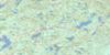
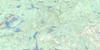
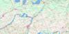
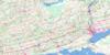
031C16 Perth Topo Map
To view this map, mouse over the map preview on the right.
You can also download this topo map for free:
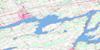
031C16 Perth high-resolution topo map image.
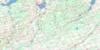
Maps for the Perth topo map sheet 031C16 at 1:50,000 scale are also available in these versions:
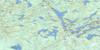
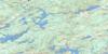
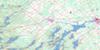
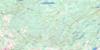
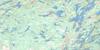
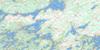
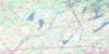
Perth Surrounding Area Topo Maps
 |
 |
 |
 |
 |
 |
 |
 |
 |
 |
 |
 |
 |
 |
 |
 |
© Department of Natural Resources Canada. All rights reserved.
Perth Gazetteer
The following places can be found on topographic map sheet 031C16 Perth:
Perth Topo Map: Bays
Bartlett BayBennett Bay
Bests Bay
Beveridge Bay
Briton Bay
Coutts Bay
Davidsons Bay
Echo Bay
Garvins Bay
Hawse Bay
Hogg Bay
Hoggs Bay
Houghton Bay
Jacklins Bay
Johnsons Bay
Kellys Bay
Little Otty
McLeans Bay
McManus Bay
McVeetys Bay
Miller Bay
Miller's Bay
Noble Bay
Nobles Bay
O'Mearas Bay
Pettys Bay
Petty's Bay
Sawlog Bay
Spring Bay
Station Bay
Perth Topo Map: Capes
Bests PointBlack Ance Point
Cedar Point
Chisamores Point
Chismores Point
Danners Point
Davidsons Point
DeSalvos Point
Frost Point
Gallaghers Point
Gallaghers Point
Goulds Point
Johnsons Point
Lower Petty's Point
McCoys Point
McManus Point
McVeetys Point
Mile Point
Murphys Point
Naud's Point
Noads Point
Ottawa Point
Pethern Point
Petty's Point
Picnic Point
Pine Point
Scotch Point
Squaw Point
Stewart Point
Stonehouse Point
Stuarts Point
Whippoorwill Point
Perth Topo Map: Channels
McCoys NarrowsMcKay Narrows
Mud Cut
Rocky Narrows
Perth Topo Map: Geographical areas
BastardBathurst
Beckwith
Burgess
Drummond
Elmsley
Grenville
Kitley
Lanark
Lanark
Leeds
Montague
North Burgess
North Crosby
North Elmsley
Peterborough
South Burgess
South Elmsley
South Sherbrooke
Wolford
Perth Topo Map: Hydraulic construction
Adams DamBowes Dam
Perth Topo Map: Islands
Alans IslandBacchus Island
Beech Island
Big Island
Big Island
Birch Island
Blueberry Island
Blueberry Island
Bluff Island
Box Island
Briggs Island
Buck Island
Burnt Island
Caulfields Island
Cherrie Island
Clegg Island
Cloverleaf Island
Codes' Island
Conlon Island
Covells Island
Covill Island
Division Island
Drop Anchor Island
Fairchilds Island
Fairclough Island
Farrens Island
Farry Island
Ferguson Island
Fox Island
Gem Island
Greers Island
Hazard Island
Hicks Island
Hog Island
Hogg Island
Indian Island
Iona Island
Isle of Man
Little John Island
Long Island
McLaren Island
McVeetys Island
Phillips Island
Pickerel Island
Pine Island
Ravensdale Island
Reid Island
Rock Island
Rose Island
Rothwells Island
Round Island
Ruby Island
Ruby Island
Sand Island
Sentinel Island
Slab Island
Star Island
Stewart's Island
Stonehouse Island
Sunken Island
Taggarts Island
Tar Island
The Three Sisters
Watch Island
Whiskey Island
Whisky Island
Perth Topo Map: Lakes
Adam LakeAdams Lake
Adams Pond
Andrew Lake
Bacchus Mud Lake
Bass Lake
Bennett Lake
Big Mud Lake
Big Rideau Lake
Black Lake
Canton Lake
Christie Lake
Crosby Lake
Doctor Lake
Fagan Lake
Farrell Lake
Farren Lake
Little Crosby Lake
Little Silver Lake
Long Lake
Loon Lake
Lower Mud Lake
Lower Rideau Lake
McCullochs Mud Lake
McGowan Lake
McLaren Lake
Mill Pond
Mills Lake
Mud Lake
Mud Lake
O'Brien Lake
Otter Lake
Otty Lake
Pike Lake
Purdons Mud Lake
Rainbow Lake
Rideau Lake
Rideau Lake
Rock Lake
Round Lake
Silver Lake
Silvery Lake
South Mud Lake
Thoms Mud Lake
Upper Mud Lake
Perth Topo Map: Marine navigation features
Poonamalie CutTay Canal
Perth Topo Map: Mountains
Stanleys HillPerth Topo Map: Major municipal/district area - major agglomerations
LanarkUnited Counties of Leeds and Grenville
Perth Topo Map: Other municipal/district area - miscellaneous
Bastard and South BurgessBathurst
Bathurst Burgess Sherbrooke
Beckwith
Darling
Drummond
Drummond/North Elmsley
Elizabethtown
Elizabethtown-Kitley
Kitley
Lanark
Lanark Highlands
Lavant, Dalhousie and North Sherbrooke
Montague
North Burgess
North Crosby
North Elmsley
North West Lanark
Rideau Lakes
South Crosby
South Elmsley
South Sherbrooke
Tay Valley
Wolford
Perth Topo Map: Conservation areas
Canal RideauLieu historique national du Canada du Canal-Rideau
Murphys Point Provincial Park
Rideau Canal National Historic Site of Canada
Rideau Canal World Heritage Site
Perth Topo Map: Rapids
Dorans RapidsPlayfairville Rapids
Sheridans Rapids
Perth Topo Map: Rivers
Black CreekBlack Creek
Bolton Creek
Campbell's Creek
Cedar Brook
Clyde River
Cockburn Creek
Fall River
Grant Creek
Grants Creek
Hutton Creek
Jebb Creek
Jebbs Creek
Limekiln Creek
Long Sault Creek
Lousy Creek
McIntyre Creek
Mississippi River
North Creek
Otter Creek
Rideau River
Rideau River & Canal
Rivière Rideau
Scotts Snye
Tay River
Perth Topo Map: Shoals
Agnes RockCheese Boat Shoals
Elswood Rock
Enterprise Shoal
Hunter Rock
Loretta Rock
Maggie May Shoal
Morris Rock
Olivers Rock
Peerless Shoal
Pumper Rock
Red Rock
Rideau King Rock
Rideau Queen Rock
Sly Rock
Swan Rock
Voyageurs Shoal
Perth Topo Map: Towns
PerthSmiths Falls
Smith's Falls
Perth Topo Map: Unincorporated areas
Allan MillsAlthorpe
Armstrongs Corners
Atironto
Balderson
Bathurst
Bathurst Station
Bell Corners
Bells Corners
Beveridge Locks
Blanchards Hill
Brooke
Caroline Village
Christie Lake
Christie Lake Station
Dewitt Corners
Dewitts Corners
DeWitts Corners
Drummond
Drummond Centre
Elliott
Elmgrove
Elmsley
Fairholme Park
Fallbrook
Frayn's Landing
Glen Tay
GlenElm
Glenview
Greenly's Corners
Harper
Jamesville
Judgeville
Lombardy
Lombardy Station
McCue
McGarry
McPhail
Motts Mills
Numogate
Playfair
Playfairville
Port Elmsley
Richardson
Rideau Ferry
Scotch Line
Scotch Point
Shanes
Sheridan Rapids
Stanleyville
Wayside
Welsh
Wemyss
Perth Topo Map: Low vegetation
Bacchus MarshBeveridge Marsh
Blueberry Marsh
Long Swamp
Tay Marsh
The Swale
Perth Topo Map: Villages
Merrickville-Wolford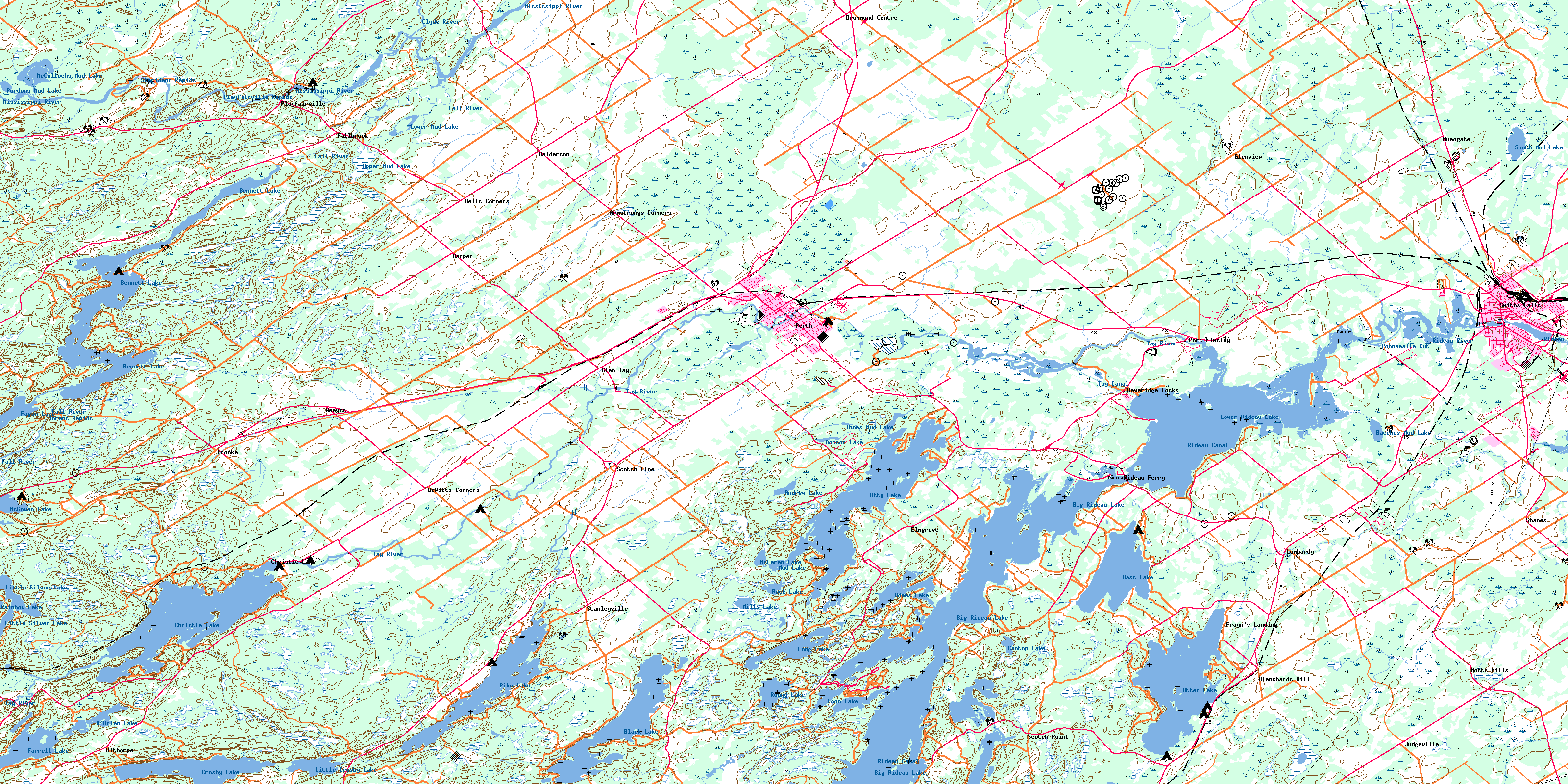
© Department of Natural Resources Canada. All rights reserved.
