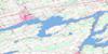
Wolfe Island Topo Map Online
Download Free Topo Map Sheet 031C01 at 1:50,000 scale
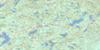
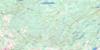
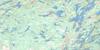
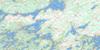
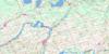
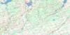
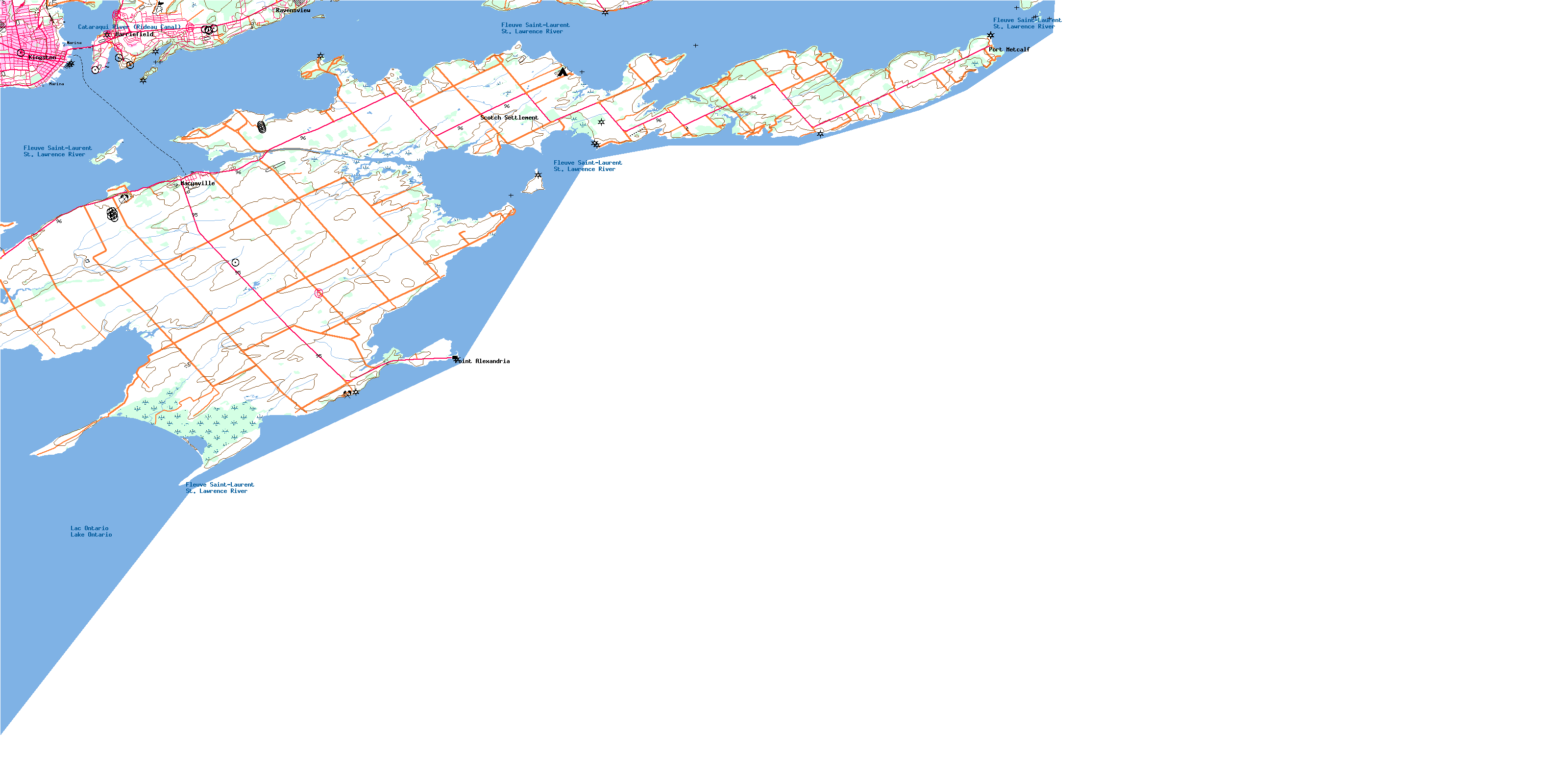
031C01 Wolfe Island Topo Map
To view this map, mouse over the map preview on the right.
You can also download this topo map for free:
031C01 Wolfe Island high-resolution topo map image.
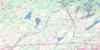
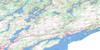
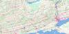
Maps for the Wolfe Island topo map sheet 031C01 at 1:50,000 scale are also available in these versions:
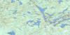
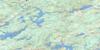
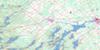
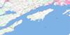
Wolfe Island Surrounding Area Topo Maps
 |
 |
 |
 |
 |
 |
 |
 |
 |
 |
 |
 |
 |
 |
 |
 |
© Department of Natural Resources Canada. All rights reserved.
Wolfe Island Gazetteer
The following places can be found on topographic map sheet 031C01 Wolfe Island:
Wolfe Island Topo Map: Bays
Anglin BayBarrett Bay
Bayfield Bay
Big Sandy Bay
Brakey Bay
Brown Bay
Browns Bay
Button Bay
Deadman Bay
Grimshaw Bay
Holliday Bay
Inner Harbour
Irvine Bay
Kingston Harbour
Lewis Bay
McDonell Bay
McGregor Bay
Murray Bay
Navy Bay
Reed Bay
Reeds Bay
Sand Bay
Woodman Bay
Wolfe Island Topo Map: Capes
Abraham HeadAlexandria Point
Banford Point
Bear Point
Beauvais Point
Braddon Point
Brophy Point
Carpenter Point
Cartwright Point
Cedar Point
Chub Point
Cone Point
Dawson Point
Dignam Point
Ferguson Point
Hickeys Point
Hinckley Point
Holliday Point
Hornes Point
Irvine Point
Joy Point
Knapp Point
Long Point
Lucas Point
Macandie Point
Mill Point
Milton Point
Oak Point
Pea Point
Point Alexandria
Point Frederick
Point Henry
Quebec Head
Rattray Point
Yotts Point
Wolfe Island Topo Map: Channels
Boat ChannelWolfe Island Cut
Wolfe Island Topo Map: City
KingstonWolfe Island Topo Map: Geographical areas
FrontenacHowe Island
Kingston
Pittsburgh
Wolfe Island
Wolfe Island Topo Map: Islands
Arabella IslandBayfield Island
Bell Island
Bells Island
Cedar Island
Francis Island
Garden Island
Goose Island
Hickory Island
Howe Island
Milton Island
Simcoe Island
The Spectacles
Thousand Islands
Whiskey Island
Wolfe Island
Wolfe Island Topo Map: Lakes
Lac OntarioLake Ontario
Wolfe Island Topo Map: Military areas
Barriefield Range and Training AreaBase des Forces canadiennes Kingston
Canadian Forces Base Kingston
Champ de tir et champ de manoeuvre Barriefield
Wolfe Island Topo Map: Mountains
Lamberts HillThe Ridge
Wolfe Island Topo Map: Major municipal/district area - major agglomerations
FrontenacWolfe Island Topo Map: Other municipal/district area - miscellaneous
Frontenac IslandsHowe Island
Kingston
Pittsburgh
Wolfe Island
Wolfe Island Topo Map: Conservation areas
Canal RideauCathcart Tower National Historic Site of Canada
Fort Henry National Historic Site of Canada
Kingston Fortifications National Historic Site of Canada
Lieu historique national du Canada de la Tour-Cathcart
Lieu historique national du Canada de la Tour-Murney
Lieu historique national du Canada de la Tour-Shoal
Lieu historique national du Canada des Fortifications-de-Kingston
Lieu historique national du Canada du Canal-Rideau
Lieu historique national du Canada du Fort-Henry
Murney Tower National Historic Site of Canada
Parc national du Canada des Îles-du-Saint-Laurent
Rideau Canal National Historic Site of Canada
Rideau Canal World Heritage Site
Shoal Tower National Historic Site of Canada
St. Lawrence Islands National Park of Canada
Wolfe Island Topo Map: Provinces
OntarioWolfe Island Topo Map: Rivers
Butternut CreekCataraqui River
Cataraqui River (Rideau Canal)
Eastern Channel
Fleuve Saint-Laurent
Reeds Creek
Shanty Creek
St. Lawrence River
Wolfe Island Topo Map: Shoals
Allan Otty ShoalBayfield Shoal
Blanket Shoals
Carruthers Shoal
Charity Shoal
Cold Bath Shoal
Dugans Shoal
East Charity Shoal
Hinckley Flats Shoal
Myles Shoal
Point Frederick Shoal
South Charity Shoal
Wolfe Island Topo Map: Unincorporated areas
BarriefieldFort Henry Heights
Garden Island
King Pitt
Kingston
Marysville
Point Alexandria
Poplar Grove
Port Metcalf
Ravensview
Scotch Settlement
St. Lawrence
St. Lawrence Woods
Wolfe Island
Wolfe Island
© Department of Natural Resources Canada. All rights reserved.
