Campbellford Topo Map Online
Download Free Topo Map Sheet 031C05 at 1:50,000 scale
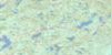
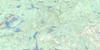
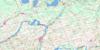
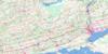
031C05 Campbellford Topo Map
To view this map, mouse over the map preview on the right.
You can also download this topo map for free:
031C05 Campbellford high-resolution topo map image.
Maps for the Campbellford topo map sheet 031C05 at 1:50,000 scale are also available in these versions:
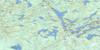
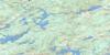
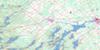
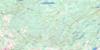
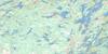
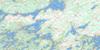
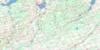
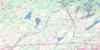
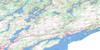
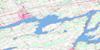
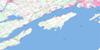
Campbellford Surrounding Area Topo Maps
 |
 |
 |
 |
 |
 |
 |
 |
 |
 |
 |
 |
 |
 |
 |
 |
© Department of Natural Resources Canada. All rights reserved.
Campbellford Gazetteer
The following places can be found on topographic map sheet 031C05 Campbellford:
Campbellford Topo Map: Bays
Bend BayBreckenridge Bay
Burnt Point Bay
Clark Bay
Contact Bay
Crowe Bay
Cumming Bay
Dorrie Bay
King Bay
Richardson Cove
Sawmill Bay
Wilson Bay
Campbellford Topo Map: Capes
Birch PointBurnt Point
Coles Point
Dope Point
Dorrie Point
Dunn Point
Gibson Point
Green Point
Halfbreed Point
Halfway Point
Lee Point
Long Point
Marsh Point
Oak Point
Skunk Point
Stony Point
Campbellford Topo Map: Channels
Back ChannelBirch Narrows
Blind Channel
Blue Hole
Danger Narrows
Northumberland Narrows
Campbellford Topo Map: City
Quinte WestCampbellford Topo Map: Falls
Healey FallsRanney Fall
Ranney Falls
Campbellford Topo Map: Geographical areas
AsphodelBelmont
Dummer
Hastings
Huntingdon
Madoc
Marmora
Murray
Northumberland
Percy
Peterborough
Rawdon
Seymour
Sidney
Campbellford Topo Map: Islands
Armour IslandBass Rock Island
Big Island
Birch Island
Cedar Island
Clarks Island
Coughlins Island
Couglins Island
Dark Island
Graham Island
Hardy Island
Haunted Island
Hickory Island
Huycke Island
Lunch Island
Marys Island
McCann Island
Meyers Island
Mink Island
Nappan Island
Oak Island
Peloe Island
Picnic Island
Preston Island
Raft Island
Schooner Island
Scriver Island
Ship Island
Sidonia Island
Slaughter Island
Steam Mill Island
Stony Island
Wilson Island
Campbellford Topo Map: Lakes
Banker LakeBarry Lake
Belmont Lake
Beloporine Lake
Crowe Lake
Hermiston Lake
Killoran Lake
Lamey Lake
Lost Lake
Mud Lake
Mud Lake
Oak Lake
O'Melia Lake
Round Lake
Rylstone Lake
Seymour Lake
Stevenson Lake
Campbellford Topo Map: Mountains
Candy MountainFerris Hill
Holbrook Mountain
Oak Hills
Pyears Hill
Sullivans Hill
Vardy Ridge
Campbellford Topo Map: Major municipal/district area - major agglomerations
HastingsNorthumberland
Peterborough
Campbellford Topo Map: Other municipal/district area - miscellaneous
AsphodelAsphodel-Norwood
Belmont and Methuen
Centre Hastings
Douro
Douro-Dummer
Dummer
Havelock-Belmont-Methuen
Huntingdon
Madoc
Marmora
Marmora and Lake
Murray
Percy
Rawdon
Seymour
Sidney
Stirling-Rawdon
Campbellford Topo Map: Conservation areas
Ferris Provincial ParkLieu historique national du Canada de la Voie-Navigable-Trent--Severn
Sager Conservation Area
Trent--Severn Waterway National Historic Site of Canada
Campbellford Topo Map: Rivers
Beaver CreekBeloporine Creek
Chrysal Creek
Crowe River
Hoards Creek
Marsh Creek
Moira River
Ouse River
Percy Creek
Plato Creek
Puffball Creek
Rawdon Creek
Squire Creek
Trent River
Trout Creek
Campbellford Topo Map: River features
Hagues ReachHaig's Reach
Percy Reach
Woodland Bend
Campbellford Topo Map: Shoals
Flat RockStony Rock
Campbellford Topo Map: Towns
Campbellford/SeymourCampbellford/Seymour, Percy, Hastings
Trent Hills
Campbellford Topo Map: Unincorporated areas
Allan MillsAnson
Ashby Mill
Belmar
Blairton
Blairton Station
Bonarlaw
Brickley
Brinkworth
Burnbrae
Campbellford
Chase Corners
Connellys
Crow Bridge
Crowe Bridge
English Line
Freeman Corners
German Landing
Glen Ross
Glenross
Godolphin
Green Acres
Harold
Hastings
Havelock
Healey Falls
Hoards
Kellers
Kellers
Marmora
Marmora Station
McConnel Landing
Menie
Minto
Mount Pleasant
Norwood
Oak Lake
Peterson
Peterson Siding
Pethericks Corners
Petherwick Corners
Polmont
Preneveau
River Valley
Round Lake
Rush Point
Rylstone
Sarginson
Sine
Spring Brook
Springbrook
Stanwood
Stirling
Sunnybrae
Tiffin
Trent River
Wellman
West Corners
Westview
Woodland
Campbellford Topo Map: Low vegetation
Murray Marsh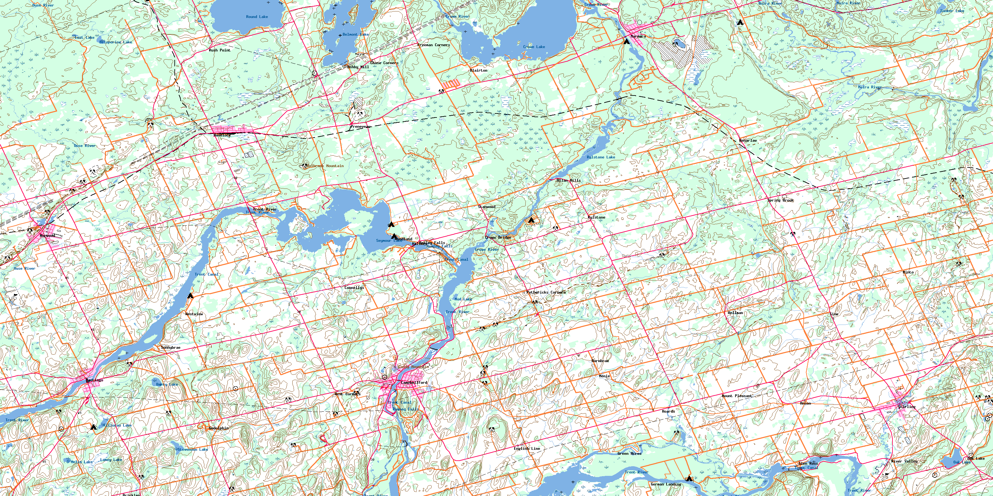
© Department of Natural Resources Canada. All rights reserved.
