Bannockburn Topo Map Online
Download Free Topo Map Sheet 031C12 at 1:50,000 scale
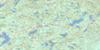
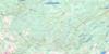
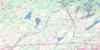
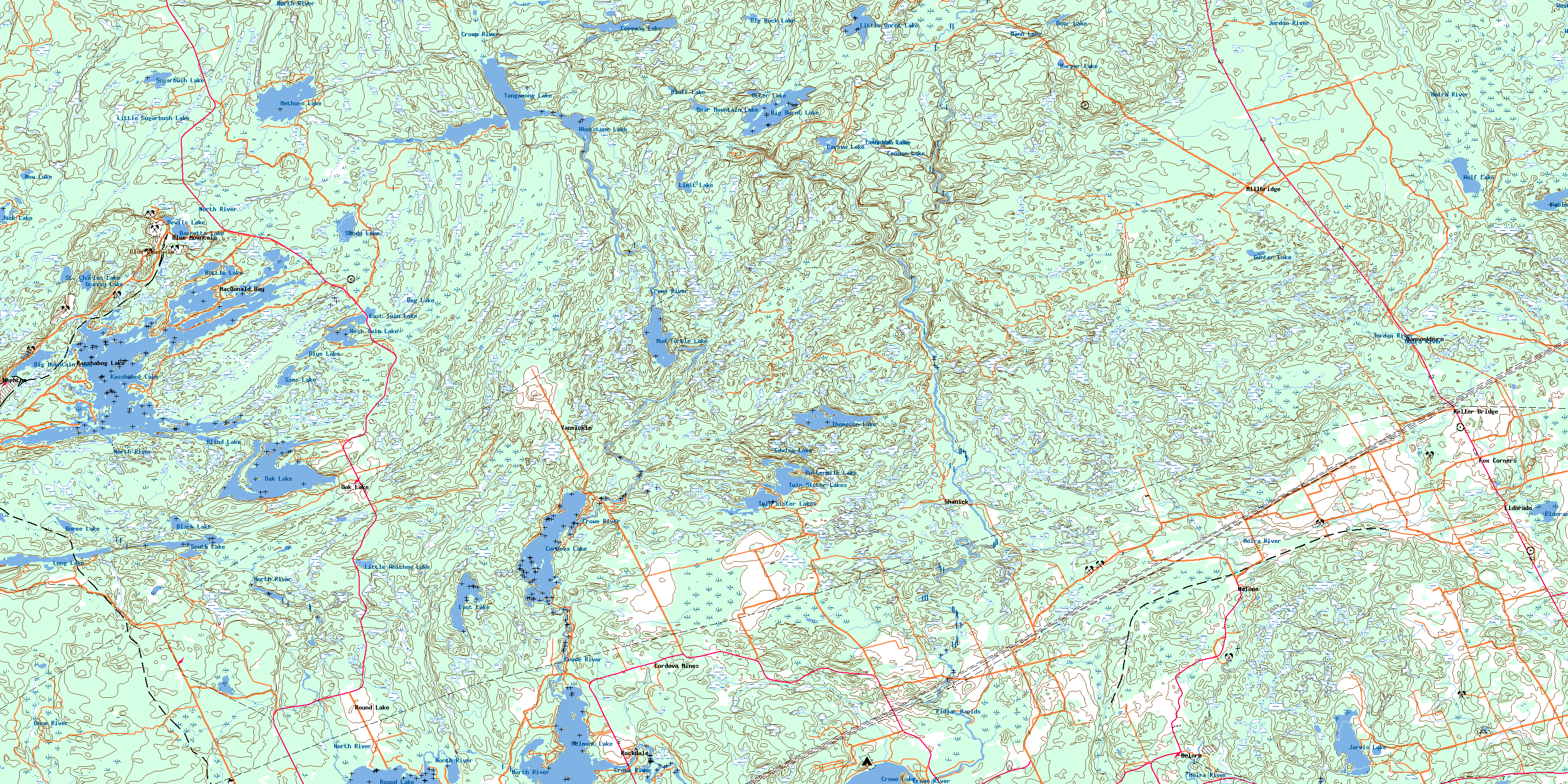
031C12 Bannockburn Topo Map
To view this map, mouse over the map preview on the right.
You can also download this topo map for free:
031C12 Bannockburn high-resolution topo map image.
Maps for the Bannockburn topo map sheet 031C12 at 1:50,000 scale are also available in these versions:
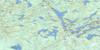
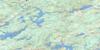
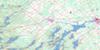
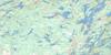
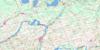
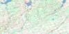
Bannockburn Surrounding Area Topo Maps
 |
 |
 |
 |
 |
 |
 |
 |
 |
 |
 |
 |
 |
 |
 |
 |
© Department of Natural Resources Canada. All rights reserved.
Bannockburn Gazetteer
The following places can be found on topographic map sheet 031C12 Bannockburn:
Bannockburn Topo Map: Bays
Bass BayConnor Bay
Crowe River Bay
Deer Bay
MacDonald Bay
McCoy Bay
Munn Bay
Myer Bay
North River Bay
Portage Bay
Roddy Bay
Sebright Bay
Stony Lake Bay
Troutling Bay
Bannockburn Topo Map: Capes
Crowe River PointBannockburn Topo Map: Geographical areas
BelmontChandos
Dummer
Grimsthorpe
Hastings
Huntingdon
Lake
Madoc
Marmora
Methuen
Peterborough
Tudor
Bannockburn Topo Map: Islands
Big IslandBirch Island
Dunlop Island
Green Island
One Tree Island
Ormes Island
Pine Island
Sammy Island
Silver Island
Twin Islands
Bannockburn Topo Map: Lakes
Barrette LakeBear Mountain Lake
Belmont Lake
Big Buck Lake
Big Burnt Lake
Big Mountain Lake
Black Lake
Blind Lake
Blue Lake
Bluff Lake
Bog Lake
Bottle Lake
Bow Lake
Buttermilk Lake
Carson Lake
Connor Lake
Copeway Lake
Cordova Lake
Crowe Lake
Devils Lake
Door Lake
East Twin Lake
Eldorado Lake
Grassy Lake
Gunter Lake
Harper Lake
Hidden Lake
Horse Lake
Jack Lake
Jarvis Lake
Kasshabog Lake
Limit Lake
Little Burnt Lake
Little Mountain Lake
Little Sugarbush Lake
Little Whitney Lake
Long Lake
Lost Lake
Mann Lake
Methuen Lake
Mud Turtle Lake
Oak Lake
Otter Lake
Robinson Lake
Round Lake
Sams Lake
Sandy Lake
Sawlog Lake
South Lake
St. Charles Lake
Sugarbush Lake
Tamarack Lake
Tangamong Lake
Thomson Lake
Twin Sister Lakes
West Twin Lake
Whetstone Lake
Wolf Lake
Bannockburn Topo Map: Mountains
Blue MountainBlue Mountains
Bannockburn Topo Map: Major municipal/district area - major agglomerations
HastingsPeterborough
Bannockburn Topo Map: Other municipal/district area - miscellaneous
Belmont and MethuenBurleigh and Anstruther
Burleigh-Anstruther-Chandos
Chandos
Douro
Douro-Dummer
Dummer
Elzevir and Grimsthorpe
Havelock-Belmont-Methuen
Hungerford
Madoc
Marmora
Marmora and Lake
North Kawartha
Tudor and Cashel
Tweed
Bannockburn Topo Map: Conservation areas
Quackenbush Provincial ParkBannockburn Topo Map: Rapids
Fidlar RapidsBannockburn Topo Map: Rivers
Beaver CreekCopeway Creek
Crowe River
Dickey Creek
Gawley Creek
Glanmire Creek
Grassy Creek
Jordan River
Little Jordan Creek
Moira River
North River
Otter Creek
Ouse River
Railway Creek
Tomahawk Creek
West Black River
Whitney Creek
Bannockburn Topo Map: Shoals
Huckleberry RocksBannockburn Topo Map: Unincorporated areas
BannockburnBlue Mountain
Cordova Mines
Deloro
Eldorado
Fox Corners
Hogan
Kasshabog Lake
Keller Bridge
MacDonald Bay
Malone
Marmora Station
Millbridge
Nephton
Oak Lake
Rockdale
Round Lake
Shanick
South Lake
Vansickle
© Department of Natural Resources Canada. All rights reserved.
