Belleville Topo Map Online
Download Free Topo Map Sheet 031C03 at 1:50,000 scale
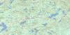
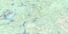
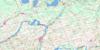
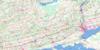
031C03 Belleville Topo Map
To view this map, mouse over the map preview on the right.
You can also download this topo map for free:
031C03 Belleville high-resolution topo map image.
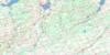
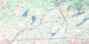
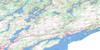
Maps for the Belleville topo map sheet 031C03 at 1:50,000 scale are also available in these versions:
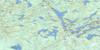
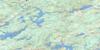
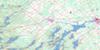
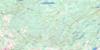
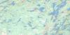
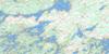
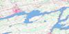
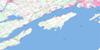
Belleville Surrounding Area Topo Maps
 |
 |
 |
 |
 |
 |
 |
 |
 |
 |
 |
 |
 |
 |
 |
 |
© Department of Natural Resources Canada. All rights reserved.
Belleville Gazetteer
The following places can be found on topographic map sheet 031C03 Belleville:
Belleville Topo Map: Bays
Bass CoveBay of Quinte
Belleville Harbour
Big Bay
Bygotts Bay
Carnachan Bay
Conger Cove
Hallowell Mills Cove
Hay Bay
Hungry Bay
Little Cove
Mallory Bay
Mallory Bay
Mohawk Bay
Muscote Bay
Perch Cove
Picton Bay
Picton Harbour
Robinson Cove
Sand Cove
Smith Bay
Belleville Topo Map: Capes
Bluff PointBrick Kiln Point
Brick-kiln Point
Buckley Point
Casey Point
Chimney Point
Cole Point
Ferry Point
Grassy Point
Gravelly Point
Green Point
Hennessy Point
Horse Point
Le Nid Point
Massasauga Point
Miller Point
Ox Point
Pine Point
Potter Point
Pull Point
Quinte Point
Richson Point
Ruttan Point
Sand Point
Shermans Point
Thompson Point
Trident Point
Trumpour Point
Wallbridge Point
Witlow Point
Youngs Point
Belleville Topo Map: Channels
Nigger NarrowsTelegraph Narrows
The Narrows
Belleville Topo Map: City
BellevillePrince Edward
Quinte West
Quinte West
Belleville Topo Map: Geographical areas
AdolphustownAmeliasburgh
Fredericksburgh
Hallowell
Hastings
Hillier
Lennox and Addington
Marysburgh
North Fredericksburgh
North Marysburgh
Prince Edward
Richmond
Sidney
Sophiasburgh
South Fredericksburgh
South Marysburgh
Thurlow
Tyendinaga
Belleville Topo Map: Indian Reserves
Réserve indienne Tyendinaga 38Réserve indienne Tyendinaga Mohawk Territory
Tyendinaga Indian Reserve 38
Tyendinaga Mohawk Territory
Belleville Topo Map: Islands
Barnhart IslandBig Island
Cedar Island
Cow Island
Cressy Island
Fish House Island
Foresters Island
Fox Island
Francis Island
Glen Island
Goose Island
Grape Island
Grave Island
Grove Island
Huff Island
Huffs Island
Makatewis Island
Nigger Island
Ram Island
Salmon Island
Sawguin Island
Ship Islet
Snake Island
Solmes Island
Telegraph Island
Unger Island
Zwick Island
Belleville Topo Map: Lakes
Ameliasburg Mill PondConsecon Lake
Fish Lake
Lac Ontario
Lake on the Mountain
Lake Ontario
Roblin Lake
Belleville Topo Map: Major municipal/district area - major agglomerations
HastingsLennox and Addington
Belleville Topo Map: Other municipal/district area - miscellaneous
AdolphustownAmeliasburgh
Athol
Fredericksburgh
Hallowell
Hillier
Marysburgh
Murray
North Fredericksburgh
North Marysburgh
Richmond
Sidney
Sophiasburgh
South Fredericksburgh
South Marysburgh
Thurlow
Tyendinaga
Belleville Topo Map: Conservation areas
Allisonville Conservation AreaDemorestville Conservation Area
H.J. McFarland Conservation Area
Hay Bay Conservation Area
Lake on the Mountain Provincial Park
Macaulay Mountain Conservation Area
Massasauga Point Conservation Area
Quinte Conservation Area
Tickell Wilderness Area
Belleville Topo Map: Rivers
Blessington CreekBloomfield Creek
Cameron Creek
Consecon Creek
Demorestville Creek
Demorestville Creek
Duck Creek
Fisher Creek
Loyst Creek
Marsh Creek
Marysville Creek
Melville Creek
Moira River
Napanee River
Palliser Creek
Platts Creek
Potter Creek
Salmon River
Sawguin Creek
Selby Creek
Smiths Creek
Sucker Creek
Townline Creek
Waupoos Creek
Belleville Topo Map: River features
Adolphus ReachLong Reach
Belleville Topo Map: Shoals
Anderson ShoalBig Island Shoal
Carman Shoal
Catalaque Shoal
Conger Shoal
Hogsback
Minnie Blakely Shoal
Narrows Shoal
Nigger Narrows Shoal
North Port Shoal
Northport Shoal
Rush Bar
Belleville Topo Map: Towns
DeserontoGreater Napanee
Belleville Topo Map: Unincorporated areas
AdolphustownAllisonville
Ameliasburg
Bardolph
Bayside
Belleville
Bethany
Bethel
Bethesda
Bowermans
Burr
Cannifton
Centre
Chatterton
Chisholm
Cole Wharf
Corbyville
Crofton
Demorestville
Dorland
Elm Brook
Elmbrook
Fawcettville
Fenwood Gardens
Foxboro
Gilbert Mills
Glenora
Gosport
Green Point
Greenpoint
Hay Bay
Hillcrest
Honeywell Corners
Huff Wharf
Huffs Corners
Huff's Corners
Lake on the Mountain
Marysville
Melville
Milltown
Mohawk
Mount Carmel
Mount Pleasant
Mountain View
North Port
Northport
Picton
Point Anne
Rednersville
Roblin Mills
Rossmore
Shannonville
Solmesville
The Pines
Thurlow
Victoria
Wallbridge
Watercombe
Waupoos
Woodville
Yerexville
Belleville Topo Map: Low vegetation
The Big SwampThe Little Swamp
Belleville Topo Map: Villages
Millpoint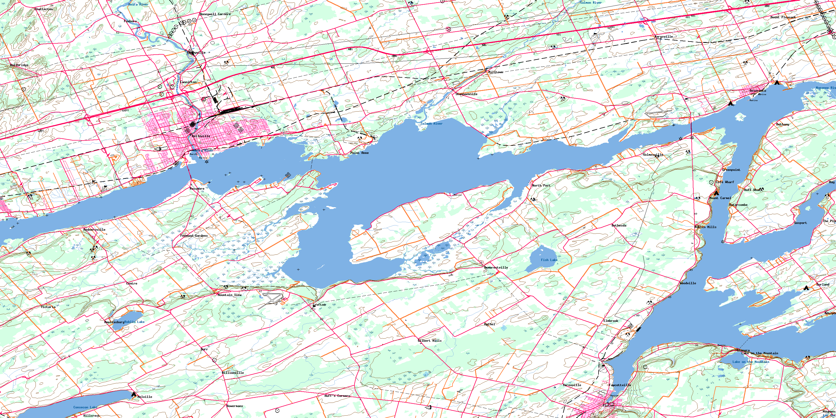
© Department of Natural Resources Canada. All rights reserved.
