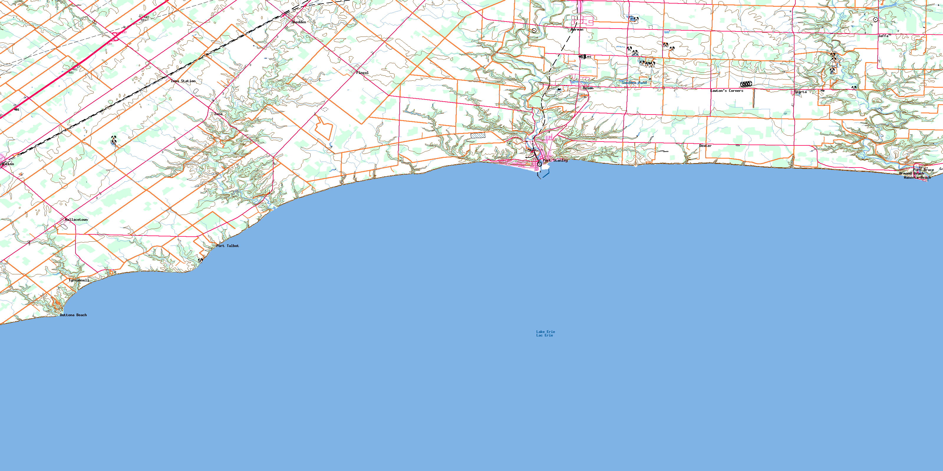
Port Stanley Topo Map Online
Download Free Topo Map Sheet 040I11 at 1:50,000 scale
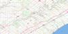
040I11 Port Stanley Topo Map
To view this map, mouse over the map preview on the right.
You can also download this topo map for free:
040I11 Port Stanley high-resolution topo map image.
Maps for the Port Stanley topo map sheet 040I11 at 1:50,000 scale are also available in these versions:
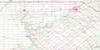
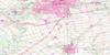
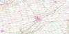
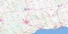
Port Stanley Surrounding Area Topo Maps
 |
 |
 |
 |
 |
 |
 |
 |
 |
|||
© Department of Natural Resources Canada. All rights reserved.
Port Stanley Gazetteer
The following places can be found on topographic map sheet 040I11 Port Stanley:
Port Stanley Topo Map: Beaches
Little BeachPort Stanley Topo Map: Capes
Patrick PointPlum Point
Port Stanley Topo Map: Cliffs
Hawk CliffPort Stanley Topo Map: Geographical areas
AldboroughDunwich
Elgin
Malahide
Southwold
Yarmouth
Port Stanley Topo Map: Hydraulic construction
Millman DrainPort Stanley Topo Map: Lakes
Bell's PondLac Érié
Lake Erie
Sanders Pond
Saunders Pond
Springwater Pond
Union Pond
White's Pond
Port Stanley Topo Map: Major municipal/district area - major agglomerations
ElginPort Stanley Topo Map: Other municipal/district area - miscellaneous
Central ElginDorchester
Dunwich
Dutton/Dunwich
Malahide
South Dorchester
Southwold
Southwold
West Elgin
Yarmouth
Port Stanley Topo Map: Conservation areas
John E. Pearce Provincial ParkLieu historique national du Canada des Remblais-de-Southwold
Port Bruce Provincial Park
Southwold Earthworks National Historic Site of Canada
Springwater Conservation Area
Port Stanley Topo Map: Plains
Pineo's FlatsPort Stanley Topo Map: Rivers
Beaver CreekBradley Creek
Bradleys Creek
Catfish Creek
Kettle Creek
Little Creek
Mill Creek
Talbot Creek
Port Stanley Topo Map: Unincorporated areas
CowalDexter
Dutton
Duttona Beach
Erie Rest
Fingal
Grimmonds Beach
Invererie Heights
Iona
Iona Station
Jaffa
Lawton's Corners
Lyndale
Mitchell Heights
Norman
North Ward
Orchard Beach
Ormond Beach
Port Bruce
Port Stanley
Port Talbot
Shedden
Sparta
Tyrconnell
Union
Wallacetown
Waneeta Beach
Whites
Port Stanley Topo Map: Valleys
Barnum GullyBarnum's Gully
Grand Canyon
© Department of Natural Resources Canada. All rights reserved.
