Bothwell Topo Map Online
Download Free Topo Map Sheet 040I12 at 1:50,000 scale
040I12 Bothwell Topo Map
To view this map, mouse over the map preview on the right.
You can also download this topo map for free:
040I12 Bothwell high-resolution topo map image.
Maps for the Bothwell topo map sheet 040I12 at 1:50,000 scale are also available in these versions:
Bothwell Surrounding Area Topo Maps
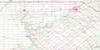 |
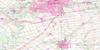 |
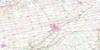 |
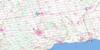 |
 |
 |
 |
 |
 |
|||
© Department of Natural Resources Canada. All rights reserved.
Bothwell Gazetteer
The following places can be found on topographic map sheet 040I12 Bothwell:
Bothwell Topo Map: City
Chatham-KentBothwell Topo Map: Geographical areas
AldboroughCamden
Dunwich
Ekfrid
Elgin
Euphemia
Howard
Kent
Lambton
Middlesex
Mosa
Orford
Zone
Bothwell Topo Map: Hydraulic construction
Cruickshank DrainDubs Drain
Julian Drain
McCargon Drain
Morden Drain
Bothwell Topo Map: Indian Reserves
Moravian 47Moravian Indian Reserve 47
Réserve indienne Moravian 47
Bothwell Topo Map: Lakes
Lac ÉriéLake Erie
The Mill Pond
Bothwell Topo Map: Major municipal/district area - major agglomerations
ElginKent
Lambton
Middlesex
Bothwell Topo Map: Other municipal/district area - miscellaneous
AldboroughCamden
Chatham
Dawn
Dawn-Euphemia
Dover
Dunwich
Dutton/Dunwich
Ekfrid
Euphemia
Harwich
Howard
Mosa
Orford
Raleigh
Romney
Southwest Middlesex
Tilbury East
West Elgin
Zone
Bothwell Topo Map: Conservation areas
Battle Hill National Historic Site of CanadaLieu historique national du Canada de la Colline-de-la-Bataille
Bothwell Topo Map: Rivers
Battle Hill CreekBrock Creek
Brocks Creek
Cornwall Creek
Donkey Creek
Fansher Creek
Fleming Creek
Gentleman Creek
Haggerty Creek
McKay Creek
Newbiggen Creek
Ox Creek
Paint Creek
Rivière Thames
Sixteenmile Creek
Sydenham River
Thames River
Bothwell Topo Map: River features
The Big BendBothwell Topo Map: Unincorporated areas
AldboroughBothwell
Bothwell Station
Cairo
Campbellton
Churchville
Clachan
Crinan
Duart
Dutton
Eagle
Ferndell
Glencoe
Highgate
Kintyre
Knapdale
Largie
McCready
Moraviantown
Mosside
Muirkirk
New Glasgow
Newbury Station
North Thamesville
Port Glasgow
Rodney
Selton
Shetland
Smiths Falls
Strathburn
Tate Corners
Thamesville
Turin
Wardsville
West Lorne
Woodgreen
Bothwell Topo Map: Villages
Newbury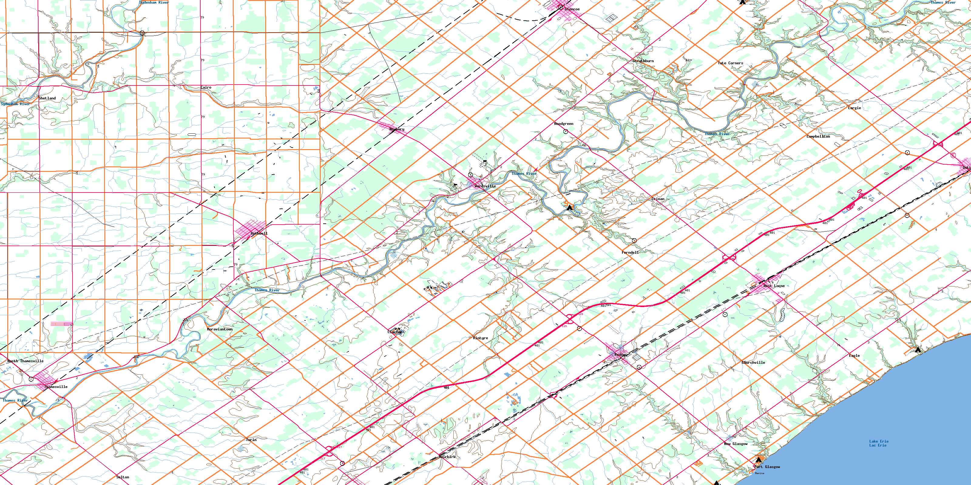
© Department of Natural Resources Canada. All rights reserved.
