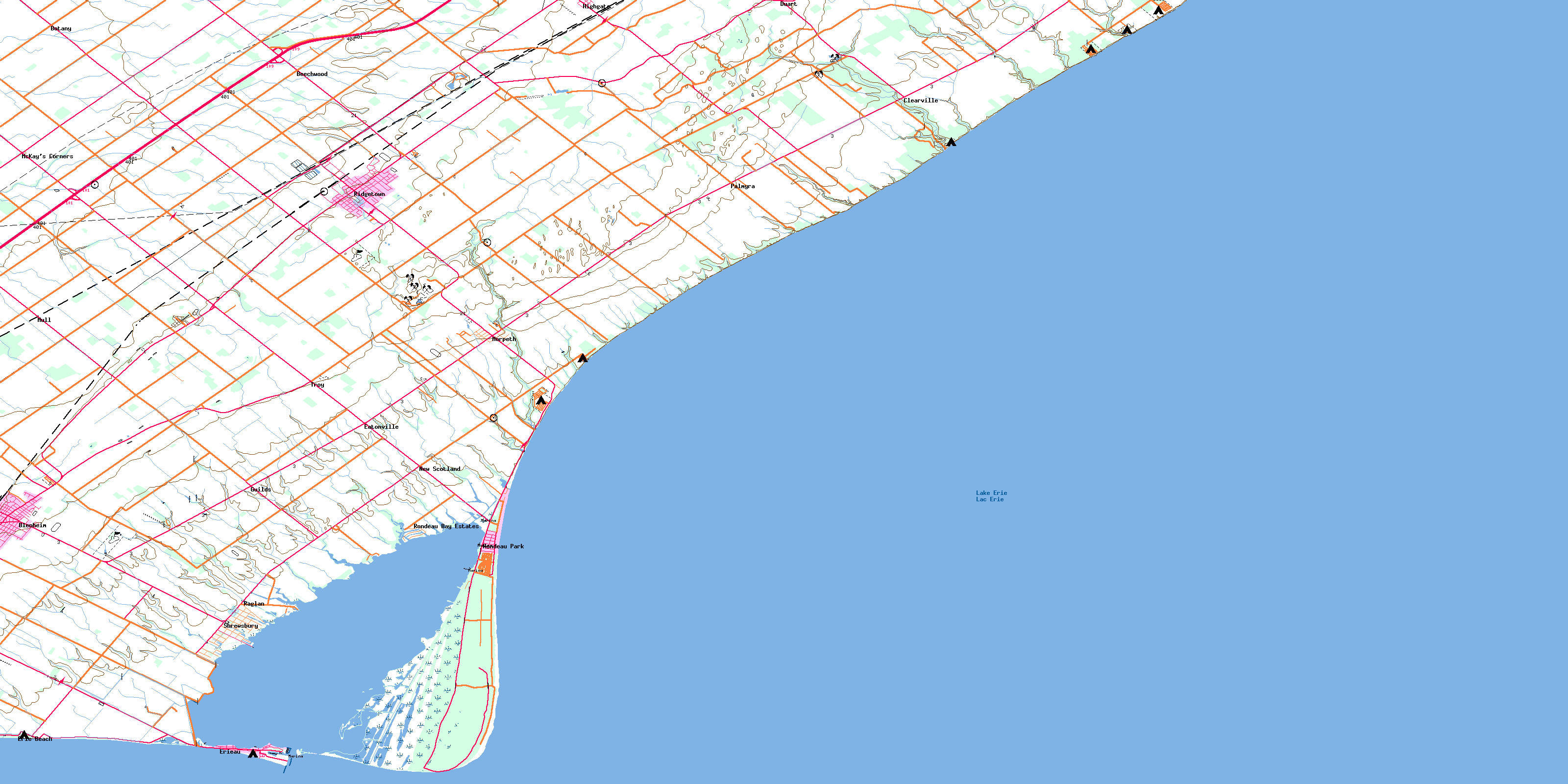
Ridgetown Topo Map Online
Download Free Topo Map Sheet 040I05 at 1:50,000 scale
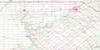
040I05 Ridgetown Topo Map
To view this map, mouse over the map preview on the right.
You can also download this topo map for free:
040I05 Ridgetown high-resolution topo map image.
Maps for the Ridgetown topo map sheet 040I05 at 1:50,000 scale are also available in these versions:
Ridgetown Surrounding Area Topo Maps
 |
 |
 |
 |
 |
 |
 |
 |
 |
|||
© Department of Natural Resources Canada. All rights reserved.
Ridgetown Gazetteer
The following places can be found on topographic map sheet 040I05 Ridgetown:
Ridgetown Topo Map: Bays
Rondeau BayRondeau Harbour
Ridgetown Topo Map: Capes
Pointe aux PinsPosts Point
Shirley Point
Ridgetown Topo Map: City
Chatham-KentRidgetown Topo Map: Geographical areas
AldboroughElgin
Howard
Kent
Orford
Raleigh
Ridgetown Topo Map: Hydraulic construction
Dubs DrainHebblethwaite Drain
McCargon Drain
Morden Drain
Willow Creek Drain
Ridgetown Topo Map: Lakes
Lac ÉriéLake Erie
Ridgetown Topo Map: Mountains
52 HillKlondike Hill
Ridgetown Topo Map: Major municipal/district area - major agglomerations
ElginKent
Ridgetown Topo Map: Other municipal/district area - miscellaneous
AldboroughCamden
Chatham
Dover
Harwich
Howard
Orford
Raleigh
Romney
Tilbury East
West Elgin
Zone
Ridgetown Topo Map: Conservation areas
Rondeau Provincial ParkRondeau Provincial Park Wilderness Area
Ridgetown Topo Map: Rivers
Clear CreekFlat Creek
Fleming Creek
Georgie Creek
Indian Creek
McGregor Creek
Mill Creek
Ridgetown Topo Map: Unincorporated areas
BeechwoodBlenheim
Botany
Clearville
Duart
Eatonville
Erie Beach
Erieau
Guilds
Harwich
Highgate
McKay's Corners
Morpeth
Mull
New Scotland
Palmyra
Raglan
Ridgetown
Rondeau Bay Estates
Rondeau Park
Shrewsbury
Troy
© Department of Natural Resources Canada. All rights reserved.
