Tillsonburg Topo Map Online
Download Free Topo Map Sheet 040I15 at 1:50,000 scale
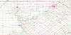
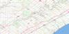
040I15 Tillsonburg Topo Map
To view this map, mouse over the map preview on the right.
You can also download this topo map for free:
040I15 Tillsonburg high-resolution topo map image.
Maps for the Tillsonburg topo map sheet 040I15 at 1:50,000 scale are also available in these versions:
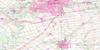
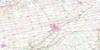
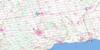
Tillsonburg Surrounding Area Topo Maps
 |
 |
 |
 |
 |
 |
 |
 |
 |
|||
© Department of Natural Resources Canada. All rights reserved.
Tillsonburg Gazetteer
The following places can be found on topographic map sheet 040I15 Tillsonburg:
Tillsonburg Topo Map: City
BrantBrant-on-the-Grand
Nanticoke
Norfolk
Norfolk County
Tillsonburg Topo Map: Geographical areas
BayhamBrant
Burford
Charlotteville
Delhi
Dereham
Dorchester
Elgin
Malahide
Middlesex
Middleton
North Dorchester
North Norwich
North Walsingham
Norwich
Oxford
South Dorchester
South Norwich
South Walsingham
Walsingham
Windham
Zorra
Tillsonburg Topo Map: Hydraulic construction
Argyle DrainBear Creek Drain
Centre Branch Drain
Collver Drain
Condie Drain
Cowan Drain
Cranberry Marsh Drain
Currie Drain
Fewster Drain
Fitzpatrick Drain
Fuller Drain
Garnum Drain
Gracey Drain
Hastings Drain
Laidlaw Drain
Mud Lake Drain
Newall Drain
Newark Drain
North Branch Drain
Quinton Drain
Rosehart Drain
Shivley-Ness Drain
Singer Drain
Stirton Drain
Swance Drain
Teskey Drain
Tillsonburg Topo Map: Lakes
Lake LisgarLake Whittaker
Mill Pond
Mud Lake
Spring Lake
St. Josephs Lake
Whittaker Lake
Tillsonburg Topo Map: Mountains
Springer's HillTillsonburg Topo Map: Major municipal/district area - major agglomerations
BrantElgin
Haldimand-Norfolk
Middlesex
Oxford
Tillsonburg Topo Map: Other municipal/district area - miscellaneous
BayhamBrantford
Burford
Charlotteville
Delhi
Dereham
Dereham
Dorchester
Dorchester
Dumfries
East Oxford
Houghton
Malahide
Malahide
Middleton
Middleton
Nissouri
Norfolk
North Dorchester
North Norwich
North Walsingham
Norwich
Oakland
Onondaga
South Dorchester
South Dumfries
South Norwich
South Walsingham
South-West Oxford
Thames Centre
Townsend
Walsingham
West Nissouri
West Oxford
Windham
Woodhouse
Zorra
Tillsonburg Topo Map: Conservation areas
Aylmer Provincial Wildlife Management AreaBrown Conservation Area
Croton Conservation Area
Croton Conservation Area
Dereham Wetlands Conservation Area
Ivan Steen Conservation Area
Lake Whittaker Conservation Area
Lehman Conservation Area
Middleton Wetlands Conservation Area
Norwich Conservation Area
Oatman Conservation Area
Rock Mill Conservation Area
Tillsonburg Conservation Area
Ward McKenna Conservation Area
Watson Dam Conservation Area
Tillsonburg Topo Map: Rivers
Big CreekBig Otter Creek
Bradley Creek
Bradleys Creek
Branch Creek
Catfish Creek
Cranberry Creek
Deer Creek
Deer Creek
East Catfish Creek
Kettle Creek
Little Jerry Creek
Little Otter Creek
Middle Thames River
Moores Creek
North Creek
Otter Creek
Piney Creek
Plumb Creek
Reynolds Creek
Rivière Thames
Silver Creek
South Creek
South Creek
Spittler Creek
Stony Creek
Stony Creek
Sweets Creek
Thames River
Venison Creek
West Catfish Creek
Tillsonburg Topo Map: Towns
AylmerTillsonburg
Tilsonburg
Westminster
Tillsonburg Topo Map: Unincorporated areas
Andy's CornersArthur's Corners
Avon
Aylmer Station
Aylmer West
Bayham
Bookton
Bradburn Subdivision
Brown's Corners
Brownsville
Brownsville Station
Corinth
Cornell
Courtland
Crampton
Culloden
Delhi
Delmer
Dereham Centre
Eden
Glencolin
Glenridge
Guysborough
Harrietsville
Hawtrey
Hink's Corners
La Salette
Little Aylmer
Lynedoch
Lyons
Mabee
Mabee's Corners
Middletown Line
Mile Corner
Milldale
Mount Burnham
Mount Elgin
Mount Vernon
Newark
North Bayham
North Hall
Norwich
Norwich Gore
Norwich Junction
Ostrander
Otterville
Putnam
Ranelagh
Rhineland
Richmond
Rock's Mills
Ronson
Rosanna
Salford
Seville
South Middleton
Springfield
Springford
Straffordville
Summers Corners
Summerville
The Gore
The Junction
Tillsonburg Junction
Verschoyle
Westmount
Wyecombe
Zenda
Tillsonburg Topo Map: Low vegetation
Dorchester Swamp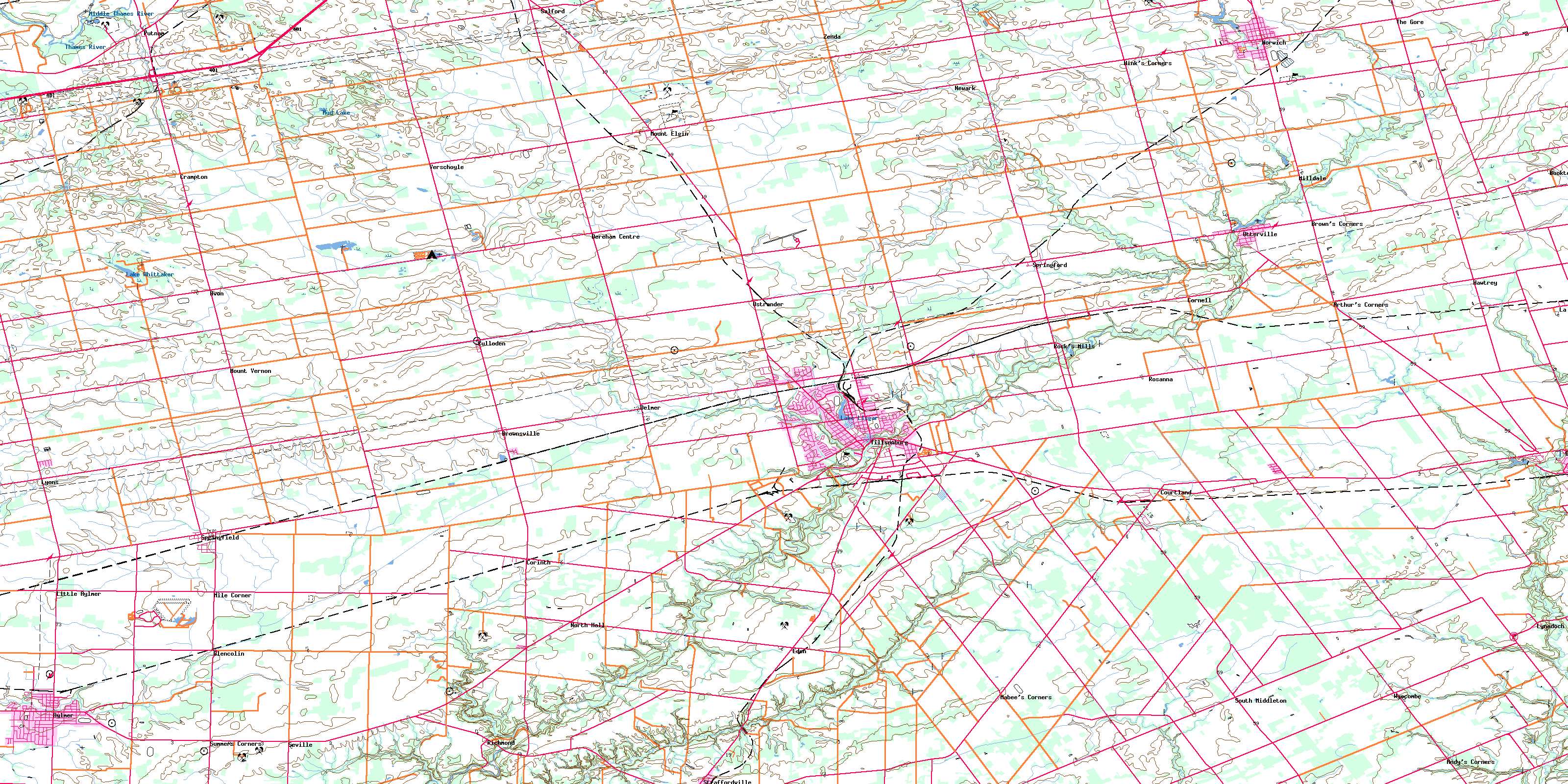
© Department of Natural Resources Canada. All rights reserved.
