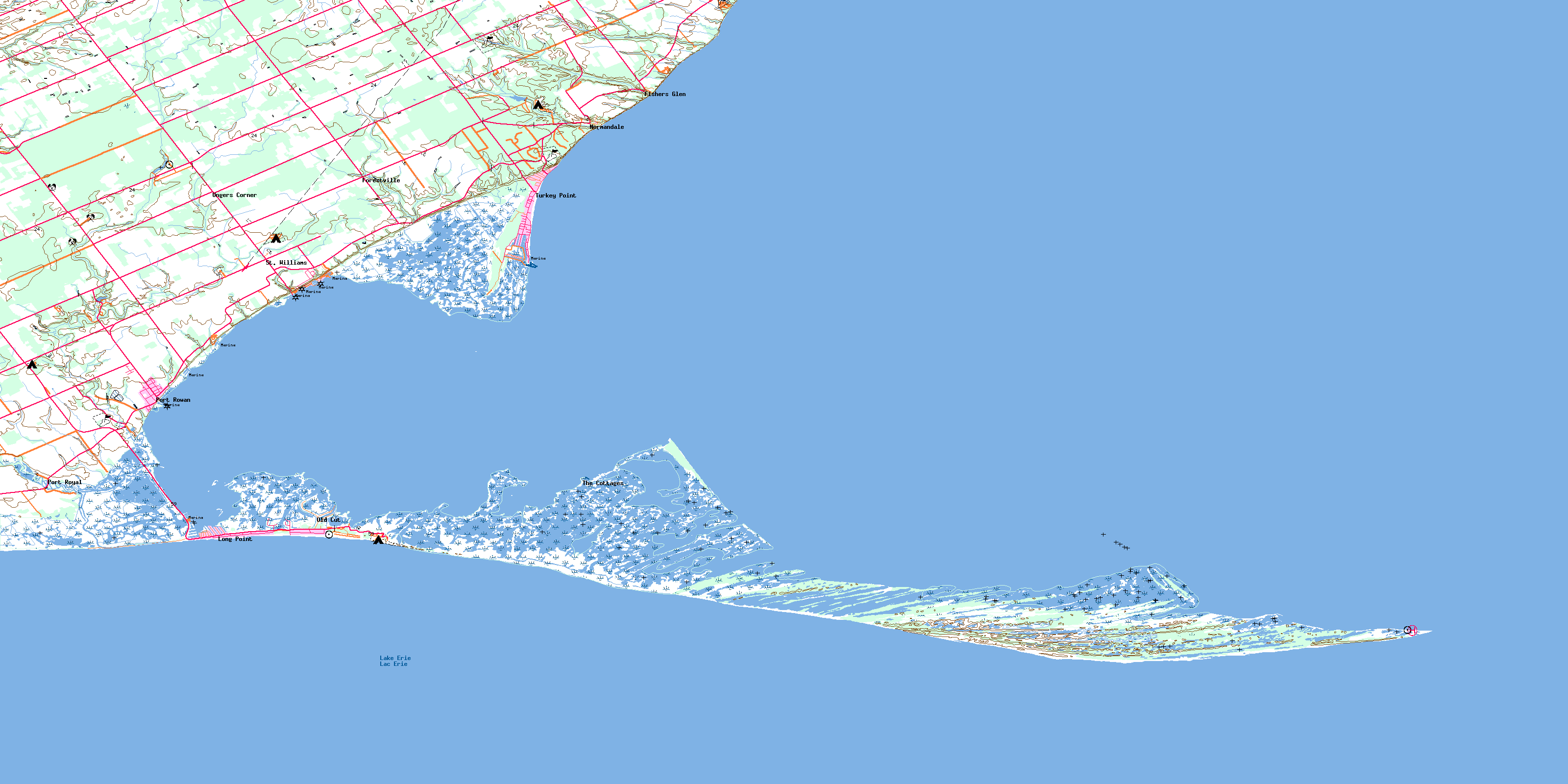
Long Point Topo Map Online
Download Free Topo Map Sheet 040I09 at 1:50,000 scale
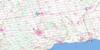
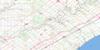
040I09 Long Point Topo Map
To view this map, mouse over the map preview on the right.
You can also download this topo map for free:
040I09 Long Point high-resolution topo map image.
Maps for the Long Point topo map sheet 040I09 at 1:50,000 scale are also available in these versions:
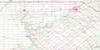
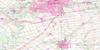
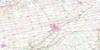
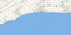
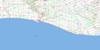
Long Point Surrounding Area Topo Maps
 |
 |
 |
 |
 |
 |
 |
 |
 |
|||
© Department of Natural Resources Canada. All rights reserved.
Long Point Gazetteer
The following places can be found on topographic map sheet 040I09 Long Point:
Long Point Topo Map: Bays
Big Rice BayColetta Bay
Doctors Inlet
Doctors Inlet
Gravelly Bay
Inner Bay
Little Bay
Little Rice Bay
Long Point Bay
Rice Bay
South Bay
Sturgeon Bay
Long Point Topo Map: Capes
Big Rice Bay PointBluff Point
Bob Wood's Point
Deep Hole Point
Indian Creek Point
Little Rice Bay Point
Long Point
Old Cut Point
Pottohawk Point
Thoroughfare Point
Turkey Point
Long Point Topo Map: Channels
Beckers ChannelFirst Island Outlet
Hastings Channel
Irish Channel
Old Cut
Second Island Outlet
Wood Duck Alley
Long Point Topo Map: City
Haldimand CountyNanticoke
Norfolk
Norfolk County
Long Point Topo Map: Geographical areas
CharlottevilleDelhi
Norfolk
North Walsingham
South Walsingham
Walsingham
Long Point Topo Map: Islands
Ryersons IslandSecond Island
Snow Island
Whitefish Bar Island
Long Point Topo Map: Lakes
Anderson PondBluff Pond
Bouck Pond
Duncan's Pond
Helmer's Pond
Island Pond
Lac Érié
Lake Erie
Long Pond
Mallards Pond
Nigger Pond
Peter's Pond
Second Island Pond
Shanty Pond
Umbrella Pond
Long Point Topo Map: Mountains
Allen's RidgeBurnt Ridges
Cedar Creek Ridge
Courtright Ridge
Courtright Ridge
Little Creek Ridges
Nigger Pond Ridge
Oak Ridges
Otter Ridge
Squires Ridge
The Home
Townsend Ridge
Long Point Topo Map: Major municipal/district area - major agglomerations
Haldimand-NorfolkLong Point Topo Map: Other municipal/district area - miscellaneous
CharlottevilleDelhi
Houghton
Middleton
Norfolk
North Walsingham
South Walsingham
Townsend
Walsingham
Windham
Woodhouse
Long Point Topo Map: Conservation areas
Backus Conservation AreaBig Creek National Wildlife Area
Fisher-Cornell Conservation Area
Long Point National Wildlife Area
Long Point Provincial Park
Norfolk Conservation Area
Réserve nationale de faune de LongPoint
Réserve nationale de faune du ruisseau Big Creek
St. Williams Conservation Reserve
Turkey Point Provincial Park
Turkey Point Wilderness Area
Long Point Topo Map: Rivers
Alex ChannelBig Creek
Cedar Creek
Cottage Creek
Cranes Creek
Dedrich Creek
Dedrick Creek
Dedrick's Creek
Deep Creek
Deep Springs
Dickinson Creek
False Jeremy's
Fishers Creek
Forestville Creek
Indian Creek
Jeremy's Creek
Little Creek
Mud Creek
Normandale Creek
Old Creek
Sawlog Creek
Scofie's Creek
Velocity Creek
Willow Creek
Long Point Topo Map: Shoals
Bluff BarNanticoke Shoal
Whitefish Bar
Long Point Topo Map: Unincorporated areas
Fishers GlenForestville
Long Point
Long Point Beach
Normandale
Old Cut
Port Rowan
Port Royal
St. Williams
The Cottages
Turkey Point
Ungers Corner
Walsh
Long Point Topo Map: Valleys
Spooky HollowLong Point Topo Map: Low vegetation
Big Creek MarshBluff Marsh
Lee Brown Marsh
Sunk Marsh
Turkey Point Marsh
© Department of Natural Resources Canada. All rights reserved.
