Cooking Lake Topo Map Online
Download Free Topo Map Sheet 083H06 at 1:50,000 scale
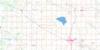
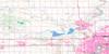
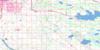
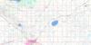
083H06 Cooking Lake Topo Map
To view this map, mouse over the map preview on the right.
You can also download this topo map for free:
083H06 Cooking Lake high-resolution topo map image.
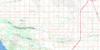
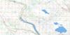
Maps for the Cooking Lake topo map sheet 083H06 at 1:50,000 scale are also available in these versions:
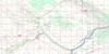
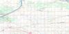
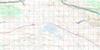
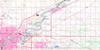
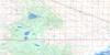
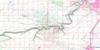
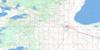
Cooking Lake Surrounding Area Topo Maps
 |
 |
 |
 |
 |
 |
 |
 |
 |
 |
 |
 |
 |
 |
 |
 |
© Department of Natural Resources Canada. All rights reserved.
Cooking Lake Gazetteer
The following places can be found on topographic map sheet 083H06 Cooking Lake:
Cooking Lake Topo Map: City
EdmontonCooking Lake Topo Map: Islands
Koney IslandCooking Lake Topo Map: Lakes
Big Island LakeCawes Lake
Cooking Lake
Foley Lake
Fulton Lake
Halfmoon Lake
Irvine Lake
Joseph Lake
Kelsey Lake
Looking Back Lake
McFadden Lake
Ministik Lake
Oliver Lake
Saunders Lake
Schultz Lake
Telford Lake
Twin Island Lake
Woodenpan Lake
Cooking Lake Topo Map: Major municipal/district area - major agglomerations
Beaver CountyCounty of Beaver No. 9
County of Camrose No. 22
County of Leduc No. 25
Leduc County
Strathcona County
Cooking Lake Topo Map: Rivers
Blackmud CreekClearwater Creek
Fulton Creek
Irvine Creek
Mill Creek
Cooking Lake Topo Map: Towns
BeaumontCooking Lake Topo Map: Unincorporated areas
AllendaleBearspaw
Bisset
Bretona
Cooking Lake
Coronet Industrial
Crawford Plains
Daly Grove
Davies Industrial East
Davies Industrial West
Deer Mound
Duggan
Ekota
Ellerslie
Empire Park
Ermineskin
Greenview
Hercules
Hillview
Jackson Heights
Kameyosek
Keheewin
Lee Ridge
Looma
Maple Ridge
McIntyre Industrial
Menisa
Meyokumin
Meyonhk
Michael Park
Mill Woods Park
Minchau
Ministik Lake
Papaschase Industrial
Parsons Industrial
Pleasantview
Pollard Meadows
Pylypow Industrial
Richfield
Rideau Park
Rolly View
Roper Industrial
Rosedale Industrial
Sakaw
Satoo
Strathcona Industrial Park
Tawa
Tipaskan
Tweedle Place
Uncas
Wayward
Weinlos
Whitecroft
Cooking Lake Topo Map: Villages
New Sarepta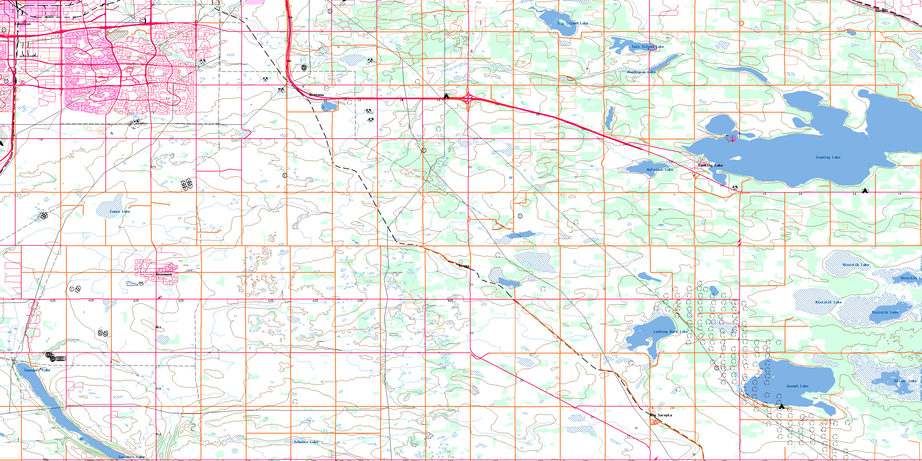
© Department of Natural Resources Canada. All rights reserved.
