Edmonton Topo Map Online
Download Free Topo Map Sheet 083H11 at 1:50,000 scale
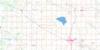
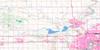
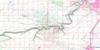
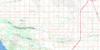
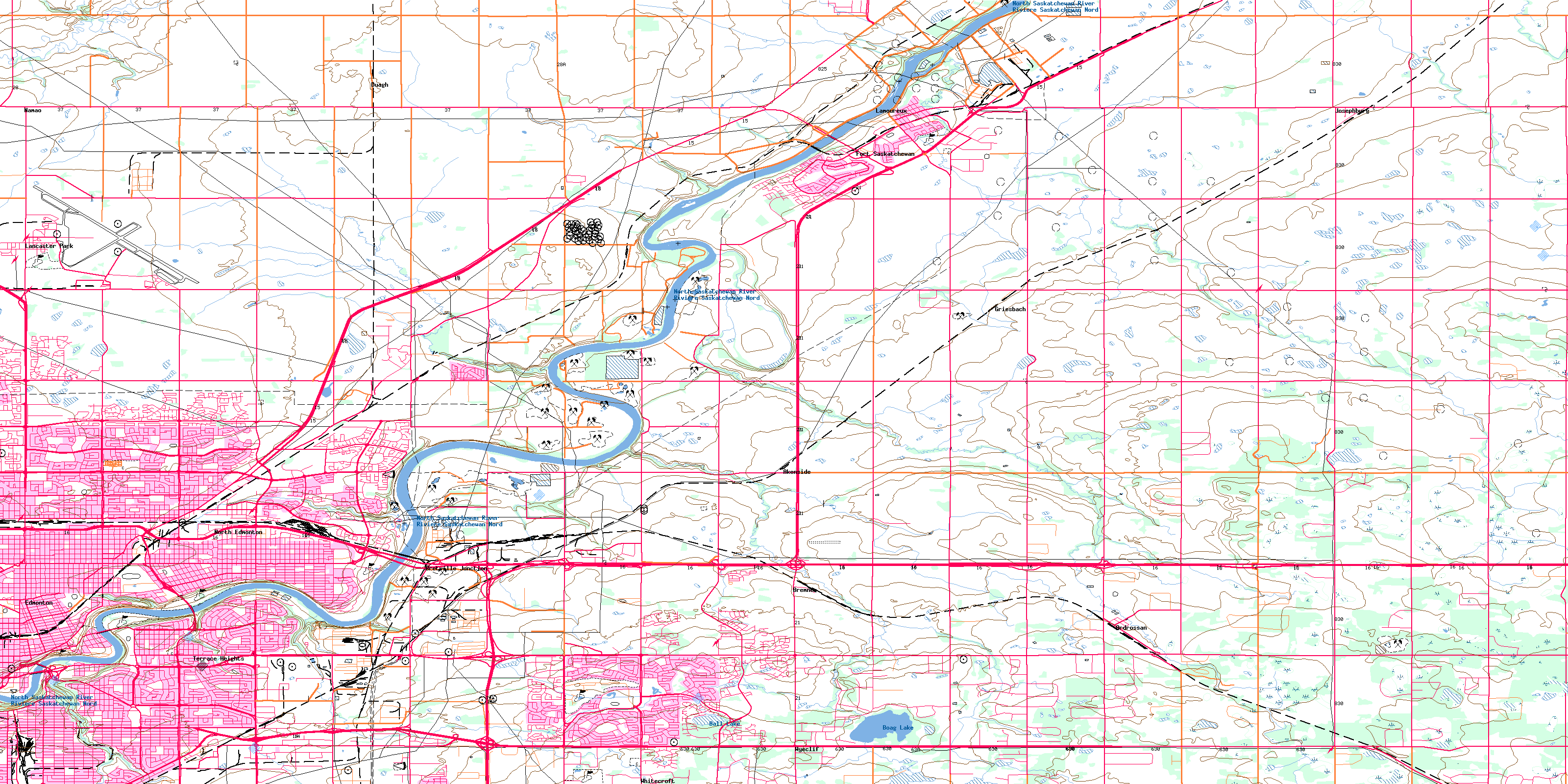
083H11 Edmonton Topo Map
To view this map, mouse over the map preview on the right.
You can also download this topo map for free:
083H11 Edmonton high-resolution topo map image.
Maps for the Edmonton topo map sheet 083H11 at 1:50,000 scale are also available in these versions:
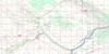
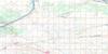
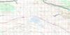
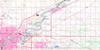
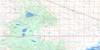
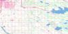
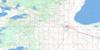
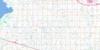
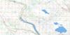
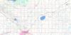
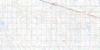
Edmonton Surrounding Area Topo Maps
 |
 |
 |
 |
 |
 |
 |
 |
 |
 |
 |
 |
 |
 |
 |
 |
© Department of Natural Resources Canada. All rights reserved.
Edmonton Gazetteer
The following places can be found on topographic map sheet 083H11 Edmonton:
Edmonton Topo Map: City
EdmontonFort Saskatchewan
Edmonton Topo Map: Lakes
Ball LakeBennett Lake
Boag Lake
Kelsey Lake
Edmonton Topo Map: Major municipal/district area - major agglomerations
County of Strathcona No. 20Municipal District of Sturgeon No. 90
Strathcona County
Sturgeon County
Edmonton Topo Map: Conservation areas
Obed Lake Provincial ParkRutherford House Provincial Historic Site (Developed)
Strathcona Archaeological Centre Provincial Historic Site (Developed)
Strathcona Science Park
Edmonton Topo Map: Rivers
Astotin CreekFulton Creek
Horsehills Creek
Mill Creek
North Saskatchewan River
Oldman Creek
Pointe-aux-Pins Creek
Rivière Saskatchewan Nord
Ross Creek
Sturgeon River
Edmonton Topo Map: Unincorporated areas
AbbottsfieldAkenside
Alberta Avenue
Allendale
Ardrossan
Argyll
Avonmore
Balwin
Bannerman
Baturyn
Beacon Heights
Beacon Heights
Beaumaris
Bellevue
Belmont
Belvedere
Bergman
Beverly
Beverly Heights
Bonnie Doon
Boyle Street
Bremner
Bretville Junction
Campbell Park
Campbelltown
Capilano
Casselman
Central McDougall
Clover Bar
Cloverdale
Coronet Additional Industrial
Cromdale
Davies Industrial East
Davies Industrial West
Delton
Delwood
Duagh
Dunbar
East Edmonton
Eastwood
Elmwood Park
Evansdale
Forest Heights
Fulton Place
Gainer Industrial
Girard Industrial
Glengarry
Gold Bar
Griesbach
Hairsine
Hazeldean
Highlands
Holyrood
Homesteader
Horse Hill
Idylwylde
Industrial Heights
Josephburg
Kenilworth
Kennedale Industrial
Kernohan
Kildare
Kilkenny
Killarney
King Edward Park
Lambton Industrial
Lambton Park
Lamoureux
Lancaster Park
Lauderdale
Lorelei
Maple Ridge
McCauley
McIntyre Industrial
McLeod
Montrose
Morris Industrial
Namao
Newton
North Edmonton
Northmount
Norwood
Oliver
Ottewell
Overlanders
Parkdale
Partridge Hill
Pylypow Industrial
Queen Alexandra
Ritchie
River Bend
Riverbend
Riverdale
Roper Industrial
Rossdale
Rosslyn
Rundle Heights
Sherwood Park
Sifton Park
Simmons
Spruce Avenue
St. Paul Junction
Strathcona
Strathearn
Terrace Heights
Terrace Heights
Virginia Park
Weir Industrial
Westwood
Whitecroft
Wyeclif
York
© Department of Natural Resources Canada. All rights reserved.
