St Albert Topo Map Online
Download Free Topo Map Sheet 083H12 at 1:50,000 scale
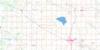
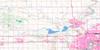
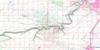
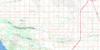
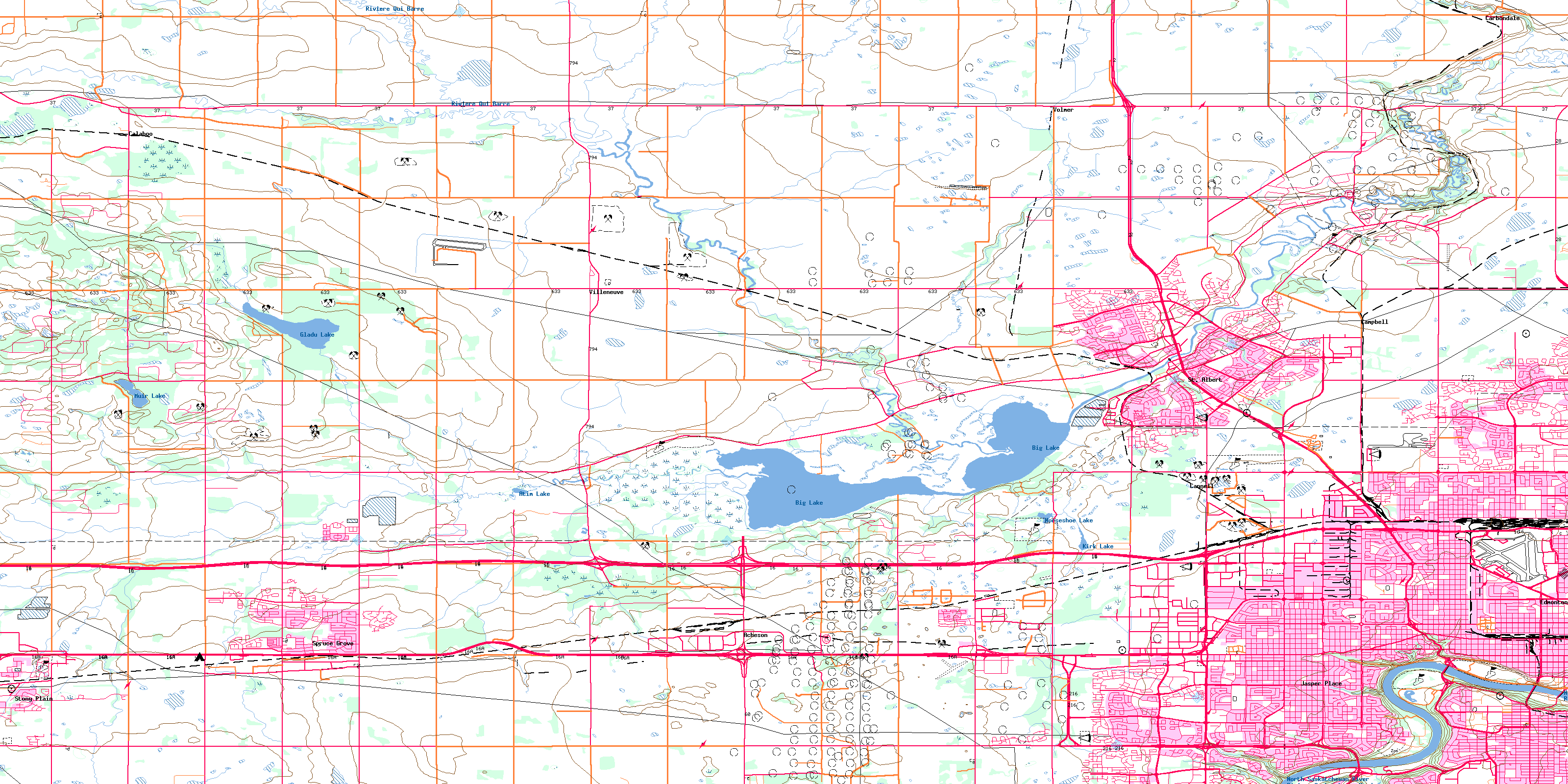
083H12 St Albert Topo Map
To view this map, mouse over the map preview on the right.
You can also download this topo map for free:
083H12 St Albert high-resolution topo map image.
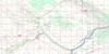
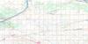
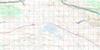
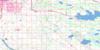
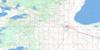
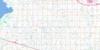
Maps for the St Albert topo map sheet 083H12 at 1:50,000 scale are also available in these versions:
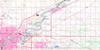
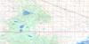
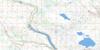
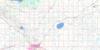
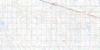
St Albert Surrounding Area Topo Maps
 |
 |
 |
 |
 |
 |
 |
 |
 |
 |
 |
 |
 |
 |
 |
 |
© Department of Natural Resources Canada. All rights reserved.
St Albert Gazetteer
The following places can be found on topographic map sheet 083H12 St Albert:
St Albert Topo Map: City
EdmontonSpruce Grove
St. Albert
St Albert Topo Map: Geographical areas
St. Albert SettlementSt Albert Topo Map: Lakes
Atim LakeBig Lake
Cut Bank Lake
Gladu Lake
Horseshoe Lake
Kinokamau Lake
Kirk Lake
Mistatim Lakes
Muir Lake
St Albert Topo Map: Major municipal/district area - major agglomerations
County of Parkland No. 31Municipal District of Sturgeon No. 90
Parkland County
Sturgeon County
St Albert Topo Map: Conservation areas
Father Lacombe Chapel Provincial Historic Site (Developed)Lois Hole Centennial Provincial Park
Rutherford House Provincial Historic Site (Developed)
St Albert Topo Map: Rivers
Atim CreekLittle Egg Creek
North Saskatchewan River
Rivière Qui Barre
Rivière Saskatchewan Nord
Sturgeon River
Whitemud Creek
St Albert Topo Map: Towns
Stony PlainSt Albert Topo Map: Unincorporated areas
AchesonAkinsdale
Alberta Park Industrial
Aldergrove
Allendale
Armstrong Industrial
Athlone
Banko Junction
Baranow
Baturyn
Beaumaris
Belgravia
Bonaventure Industrial
Braeside
Brander Gardens
Britannia Youngstown
Brookside
Brown Industrial
Caernarvon
Calahoo
Calder
Callingwood North
Callingwood South
Campbell
Campbell Park
Cannell
Canora
Carbondale
Carleton Square Industrial
Carlisle
Central McDougall
Crestwood
Deer Ridge
Dominion Industrial
Dovercourt
Dunluce
Dunvegan Yards
Edmiston Industrial
Elmwood
Erin Ridge
Forest Lawn
Gagnon Estate Industrial
Garneau
Garside Industrial
Glenora
Glenwood
Grandin
Grandview Heights
Grovenor
Hagman Estate Industrial
Hawin Park Estate Industrial
Heritage Lakes
High Park
High Park Industrial
Huff Bremner Estate Industrial
Inglewood
Inglewood
Jasper Park
Jasper Place
Kensington
Kingswood
La Perle
Lacombe Park
Lauderdale
Laurier Heights
Lorelei
Lynnwood
MacArthur Siding
Mayfield
McKernan
McNamara Industrial
McQueen
Meadowlark Park
Mission
Mitchell Industrial
Morin Industrial
North Glenora
Norwester Industrial
Oakmont
Oliver
Ormsby Place
Parkallen
Parkview
Patricia Heights
Pineview
Place Larue
Poundmaker Industrial
Prince Charles
Prince Rupert
Queen Alexandra
Queen Mary Park
Quesnell Heights
Rio Terrace
Rosslyn
Sheffield Industrial
Sherbrooke
Sherwood
Spruce Avenue
Stone Industrial
Strathcona
Sturgeon
Summerlea
Sunwapta
Thorncliffe
Villeneuve
Volmer
Wellington
West Jasper Place
West Meadowlark Park
West Sheffield Industrial
Westmount
Westridge
Westwood
White Industrial
Wilson Industrial
Windsor Park
Winterburn
Woodcroft
Woodlands
Youngstown Industrial
© Department of Natural Resources Canada. All rights reserved.
