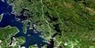
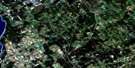
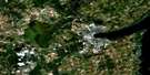
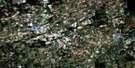
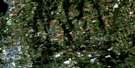
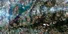
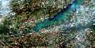
Scugog Satellite Image Map
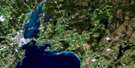
Download Free Aerial Photo 031D02 at 1:50,000 scale
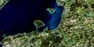
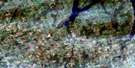
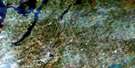
Scugog Satellite Imagery
To view this satellite map, mouse over the air photo on the right.
You can also download this satellite image map for free:
031D02 Scugog high-resolution satellite image map.
Maps for the Scugog aerial map sheet 031D02 at 1:50,000 scale are also available in these versions:
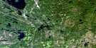
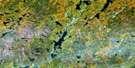
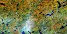
Scugog Surrounding Area Aerial Photo Maps
 |
 |
 |
 |
 |
 |
 |
 |
 |
 |
 |
 |
 |
 |
 |
 |
© Department of Natural Resources Canada. All rights reserved.
Scugog Gazetteer
The following places can be found on satellite image map 031D02 Scugog:
Scugog Satellite Image: Bays
King's BayStarr Bay
Scugog Satellite Image: Capes
Ball PointPine Point
Scugog Point
Stephenson Point
Williams Point
Scugog Satellite Image: City
Kawartha LakesOshawa
Scugog Satellite Image: Geographical areas
BrockCartwright
Cavan
Clarke
Darlington
Durham
East Whitby
Hope
Manvers
Mariposa
Northumberland
Ops
Peterborough
Reach
Scugog
Scugog
Victoria
Whitby
Scugog Satellite Image: Indian Reserves
Mississauga's of Scugog IslandMississauga's of Scugog Island Indian Reserve 34
Réserve indienne Mississauga's of Scugog Island 34
Réserve indienne Scugog 34
Scugog Indian Reserve 34
Scugog Satellite Image: Islands
Birch IslandPlatten Island
Scugog Island
Seven Mile Island
Washburn Island
Scugog Satellite Image: Lakes
Brown LakeFallis Pond
Lake Scugog
McKinnon Pond
Scugog Satellite Image: Mountains
Anthony HillBunker Hill
Scugog Satellite Image: Major municipal/district area - major agglomerations
DurhamNorthumberland
Ontario
Peterborough
United Counties of Northumberland and Durham
Victoria
Scugog Satellite Image: Other municipal/district area - miscellaneous
BexleyBobcaygeon/Verulam
Brock
Carden
Carden/Dalton
Cartwright
Cavan
Cavan-Millbrook-North Monaghan
Clarke
Dalton
Darlington
East Whitby
Eldon
Emily
Fenelon
Hope
Laxton, Digby and Longford
Manvers
Mariposa
North Monaghan
Ops
Reach
Scugog
Somerville
Verulam
Scugog Satellite Image: Conservation areas
Enniskillen Conservation AreaScugog Satellite Image: Rivers
Baxter CreekBlackstock Creek
Bowmanville Creek
Cavan Creek
East Cross Creek
East Oshawa Creek
Fleetwood Creek
Ganaraska River
Jackson Creek
Janetville Creek
Layton River
Mackie Creek
Mulligan Creek
Nonquon River
Orono Creek
Oshawa Creek
Pigeon River
Soper Creek
Stalker Creek
Wilmot Creek
Scugog Satellite Image: Towns
ClaringtonNewcastle
Port Hope
Port Hope and Hope
Whitby
Scugog Satellite Image: Unincorporated areas
Aldred's BeachAshburn
Ballyduff
Bethany
Blackstock
Brady
Brunswick
Burketon Station
Burton
Cadmus
Caesarea
Carnegie Beach
Cedar Shores
Dranoel
Enfield
Enniskillen
Fingerboard
Fleetwood
Fralick's Beach
Franklin
Gerrow's Beach
Gillson's Point
Glamorgan
Haydon
High Point
Highland Beach
Honey's Beach
Janetville
Kendal
Kirby
Lakeside Beach
Layton
Leskard
Lifford
Lotus
Manchester
Manvers
McLaren's Beach
Mount Carmel
Myrtle
Myrtle Station
Nestleton
Nestleton Station
New Park
Newman's Beach
Oakdene Point
Pine Point
Pontypool
Port Hoover
Port Hoover
Port Perry
Port View Beach
Prince Albert
Prospect
Purple Hill
Raglan
Scugog
Scugog Centre
Scugog Point
Seagrave
Shirley
Sonya
St. Christopher
Starr's Beach
Sunrise Beach
Sunset View
Tapley
Tyrone
Valentia
Viewlake
Williams Point
Yelverton
Scugog Satellite Image: Low vegetation
Cavan Bog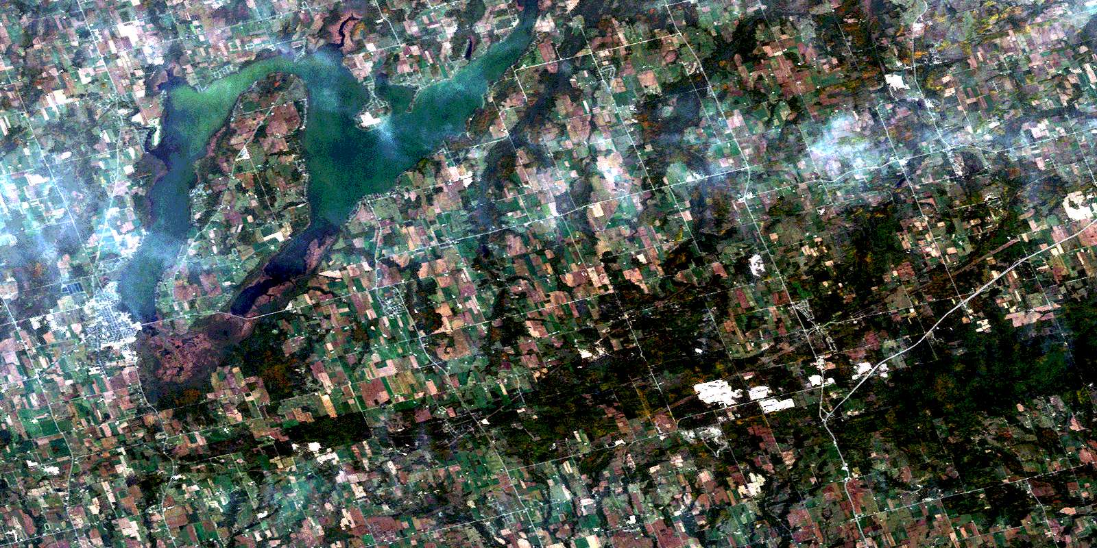
© Department of Natural Resources Canada. All rights reserved.
