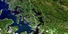
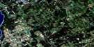
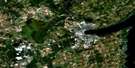
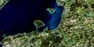
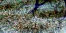
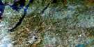
Alliston Satellite Image Map
Download Free Aerial Photo 031D04 at 1:50,000 scale
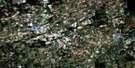
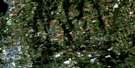
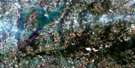
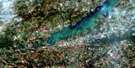
Alliston Satellite Imagery
To view this satellite map, mouse over the air photo on the right.
You can also download this satellite image map for free:
031D04 Alliston high-resolution satellite image map.
Maps for the Alliston aerial map sheet 031D04 at 1:50,000 scale are also available in these versions:
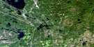
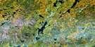
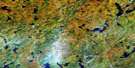
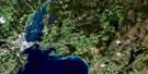
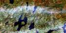
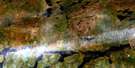
Alliston Surrounding Area Aerial Photo Maps
 |
 |
 |
 |
 |
 |
 |
 |
 |
 |
 |
 |
 |
 |
 |
 |
© Department of Natural Resources Canada. All rights reserved.
Alliston Gazetteer
The following places can be found on satellite image map 031D04 Alliston:
Alliston Satellite Image: Bays
Cook BayCook's Bay
Alliston Satellite Image: Geographical areas
AdjalaDufferin
East Gwillimbury
Essa
Grey
Innisfil
King
Mono
Mulmur
North Gwillimbury
Simcoe
Tecumseth
Tosorontio
West Gwillimbury
Alliston Satellite Image: Lakes
Brookdale LakeLake Simcoe
Tottenham Pond
Alliston Satellite Image: Military areas
Base des Forces canadiennes BordenBorden Range and Training Area
Canadian Forces Base Borden
Champ de tir et champ de manoeuvre Borden
Alliston Satellite Image: Mountains
Dunn HillDunns Hill
Gulley Hill
Mill Hill
Mono Hills
Nottawa Hill
Oak Ridges
Piper Hill
Rich Hill
Sharp Hill
Sharps Hill
Sheldon Hill
Alliston Satellite Image: Major municipal/district area - major agglomerations
DufferinGrey
Simcoe
York
Alliston Satellite Image: Other municipal/district area - miscellaneous
AdjalaAdjala-Tosorontio
Essa
King
Mulmur
Tecumseth
Tecumseth
Tecumseth
Tosorontio
West Gwillimbury
West Gwillimbury
Alliston Satellite Image: Conservation areas
Alliston Pinery Provincial Nature ReserveBeattie Pinery Provincial Park
Earl Rowe Provincial Park
Scanlon Creek Conservation Area
Tottenham Conservation Area
Alliston Satellite Image: Rivers
Bailey CreekBeeton Creek
Boyne River
Cookstown Creek
Holland River
Holland River
Holland River East Branch
Innisfil Creek
Keenansville Creek
Nottawasaga River
Penville Creek
Pine River
Schomberg River
Sheldon Creek
Wilson Creek
Alliston Satellite Image: Towns
Alliston, Beeton, Tecumseth and TottenhamBradford West Gwillimbury
East Gwillimbury
Georgina
Innisfil
Mono
New Tecumseth
Alliston Satellite Image: Unincorporated areas
AchillAllimil
Alliston
Ansnorveldt
Arlington
Athlone
Ballydown Beach
Baxter
Bayview Beach
Beeton
Bethesda
Bond Head
Bond-Head
Bradford
Churchill
Colgan
Cookstown
Coulson
Coulson's Hill
Deerhurst
Dunkerron
Egbert
Elmgrove
Everett
Fennell
Fintona
Gilford
Gilford Beach
Glenville
Hockley
Keenansville
Kettleby
Loretto
Newton Robinson
Nicolston
Penville
Pinkerton
Randall
Rich Hill
River Drive Park
Rosemont
Schomberg
Schomberg Heights
Sheldon
Shore Acres
Thompsonville
Tioga
Tottenham
Tuam
West Essa
Alliston Satellite Image: Valleys
Hockley ValleyThe Hollows
Alliston Satellite Image: Low vegetation
Holland Marsh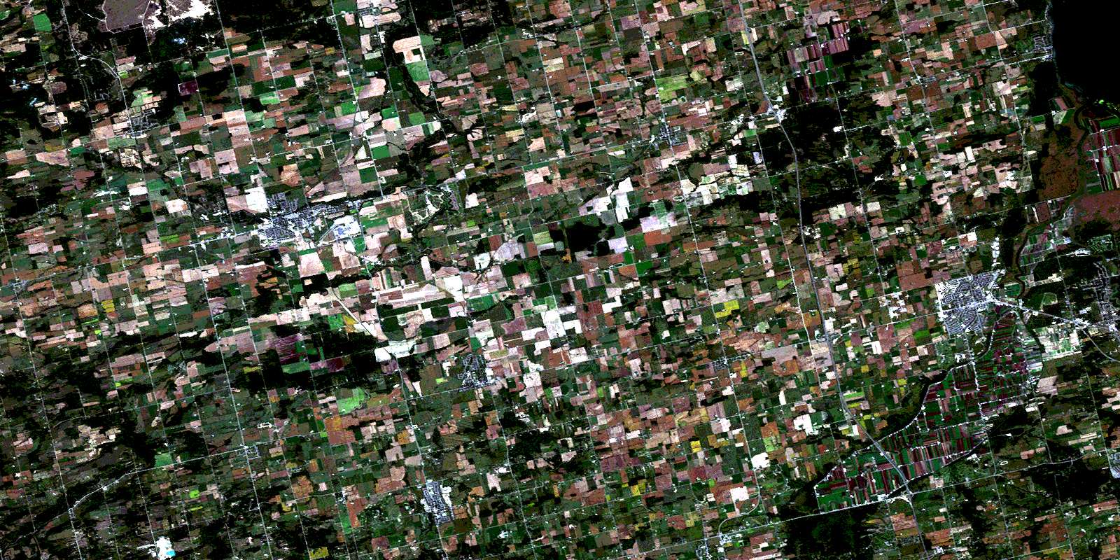
© Department of Natural Resources Canada. All rights reserved.
