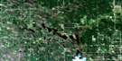
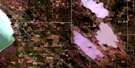
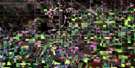
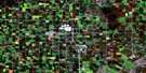
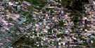
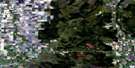
Teulon Satellite Image Map
Download Free Aerial Photo 062I06 at 1:50,000 scale
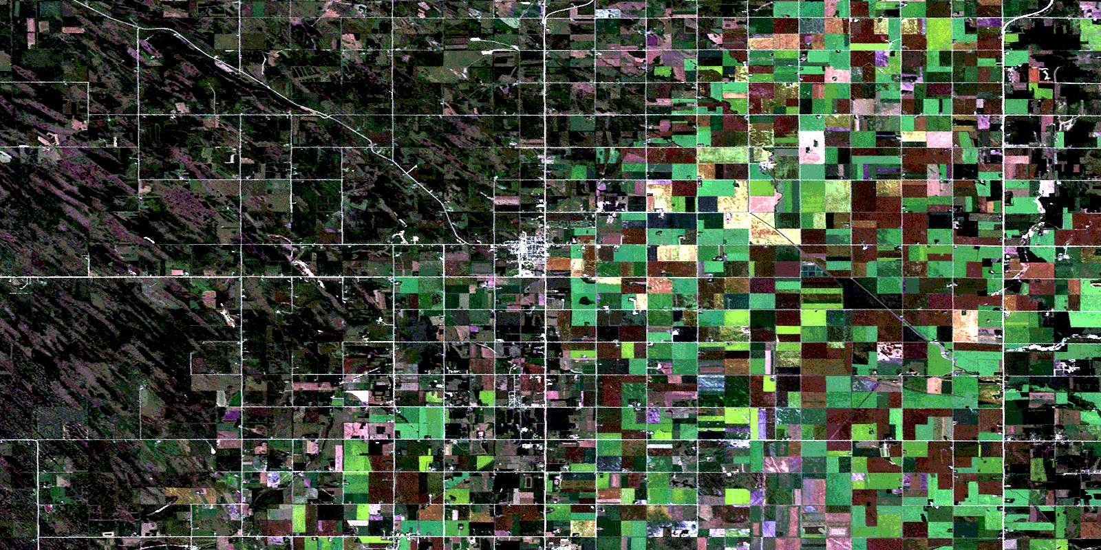
Teulon Satellite Imagery
To view this satellite map, mouse over the air photo on the right.
You can also download this satellite image map for free:
062I06 Teulon high-resolution satellite image map.
Maps for the Teulon aerial map sheet 062I06 at 1:50,000 scale are also available in these versions:
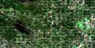
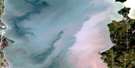
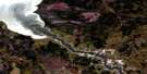
Teulon Surrounding Area Aerial Photo Maps
 |
 |
 |
 |
 |
 |
 |
 |
 |
 |
 |
 |
 |
 |
 |
 |
© Department of Natural Resources Canada. All rights reserved.
Teulon Gazetteer
The following places can be found on satellite image map 062I06 Teulon:
Teulon Satellite Image: Hydraulic construction
Boundary DrainFisher Drain
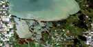
Teulon Satellite Image: Lakes
Crescent LakeNorris Lake
Teulon Satellite Image: Other municipal/district area - miscellaneous
ArmstrongRockwood
St. Andrews
Woodlands
Teulon Satellite Image: Conservation areas
Inwood Wildlife Management AreaNorris Lake Provincial Park
Réserve nationale de faune de Rockwood
Rockwood National Wildlife Area
Teulon Satellite Image: Rivers
Cochrane CreekJackfish Creek
Netley Creek
Ross Creek
Wavey Creek
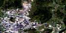
Teulon Satellite Image: Towns
TeulonTeulon Satellite Image: Unincorporated areas
BalmoralErinview
Gunton
Komarno
McKinnell
Melnice
Norris Lake
Pleasant Home
Woodroyd
© Department of Natural Resources Canada. All rights reserved.
