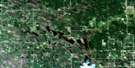
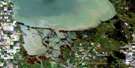
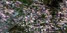
Warren Satellite Image Map
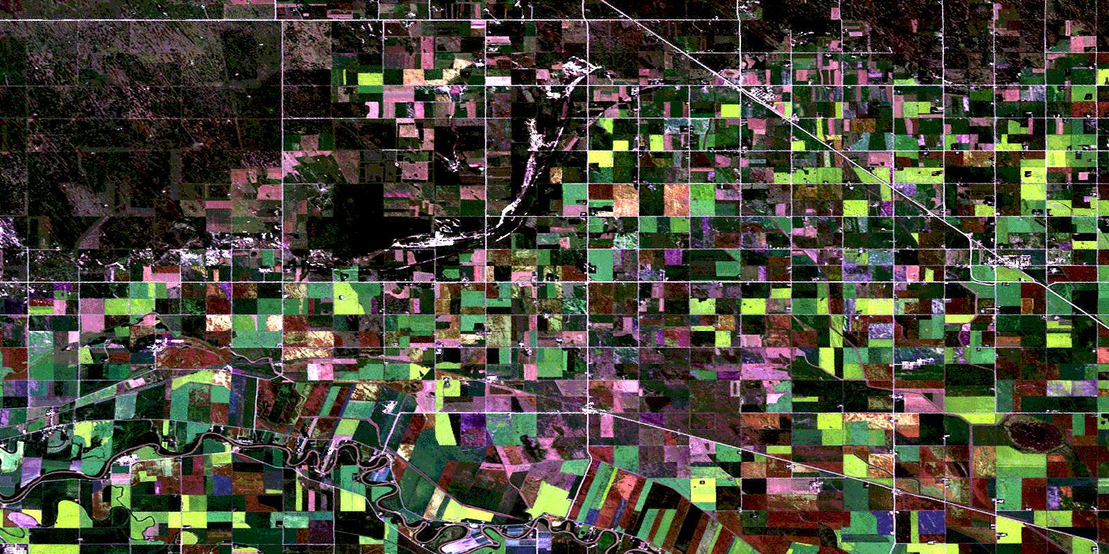
Download Free Aerial Photo 062I04 at 1:50,000 scale
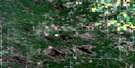
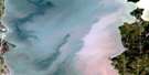
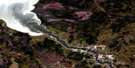
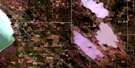
Warren Satellite Imagery
To view this satellite map, mouse over the air photo on the right.
You can also download this satellite image map for free:
062I04 Warren high-resolution satellite image map.
Maps for the Warren aerial map sheet 062I04 at 1:50,000 scale are also available in these versions:
Warren Surrounding Area Aerial Photo Maps
 |
 |
 |
 |
 |
 |
 |
 |
 |
 |
 |
 |
 |
 |
 |
 |
© Department of Natural Resources Canada. All rights reserved.
Warren Gazetteer
The following places can be found on satellite image map 062I04 Warren:
Warren Satellite Image: Geographical areas
Baie St. PaulPoplar Point
St. François Xavier
Warren Satellite Image: Hydraulic construction
Deep Creek DrainJubilee Road Drain
Long Lake Drain
Marquette Road Drain
Meadows Drain
Scotts Drain
Slegers Drain
Warren Satellite Image: Lakes
Chief LakeGrants Lake
Long Lake
Warren Satellite Image: Other municipal/district area - miscellaneous
Portage la PrairieRosser
St. François Xavier
Woodlands
Warren Satellite Image: Conservation areas
Grants Lake Game Bird RefugeGrants Lake Wildlife Management Area
Lake Francis Wildlife Management Area
Warren Satellite Image: Rivers
Assiniboine RiverEast Branch Sturgeon Creek
Mill Creek
Moffats Creek
Rivière Assiniboine
Sayers Creek
Second Creek
West Branch Sturgeon Creek
Warren Satellite Image: Road features
Assiniboine TrailBaie St. Paul Bridge
Chemin Assiniboine
Warren Satellite Image: Unincorporated areas
BelcourtBonnie Doon
Marquette
Meadow Lea
Meadows
Oswald
Poplar Point
Reaburn
Warren
Warrenton
Woodlands
© Department of Natural Resources Canada. All rights reserved.
