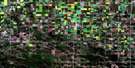
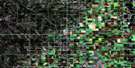
Riverton Satellite Image Map
Download Free Aerial Photo 062I15 at 1:50,000 scale
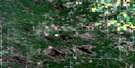
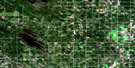
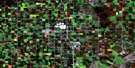
Riverton Satellite Imagery
To view this satellite map, mouse over the air photo on the right.
You can also download this satellite image map for free:
062I15 Riverton high-resolution satellite image map.
Maps for the Riverton aerial map sheet 062I15 at 1:50,000 scale are also available in these versions:
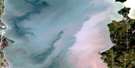
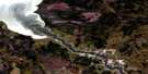
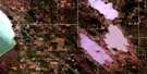
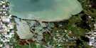
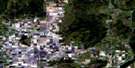
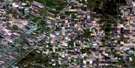
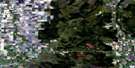
Riverton Surrounding Area Aerial Photo Maps
 |
 |
 |
 |
 |
 |
 |
 |
 |
 |
 |
 |
 |
 |
 |
 |
© Department of Natural Resources Canada. All rights reserved.
Riverton Gazetteer
The following places can be found on satellite image map 062I15 Riverton:
Riverton Satellite Image: Bays
Breda BayRiverton Harbour
Riverton Satellite Image: Beaches
Hnausa BeachSandy Bar
Riverton Satellite Image: Capes
Bordeiri PointDrunken Point
Hokanson Point
Riverton Satellite Image: Islands
Elk IslandHecla Island
Riverton Satellite Image: Lakes
Lac WinnipegLake Winnipeg
Riverton Satellite Image: Other municipal/district area - miscellaneous
BifrostGimli
Victoria Beach
Riverton Satellite Image: Conservation areas
Elk Island Provincial Heritage ParkElk Island Provincial Park
Hecla Provincial Heritage Park
Hecla Provincial Park
Hnausa Beach Provincial Park
Hnausa Beach Provincial Recreation Park
Riverton Satellite Image: Rivers
Drunken RiverIcelandic River
Riverton Satellite Image: Shoals
Hnausa ReefPearson Reef
Riverton Satellite Image: Unincorporated areas
ArnesBalaton Beach
Bay Shore Heights
Brewster Bay
Finns
Glen Bay
Hnausa
Loch Woods
Nes
Ness Country
Silver Harbour
Spruce Bay Heights
Spruce Sands
Valhalla
Riverton Satellite Image: Villages
Riverton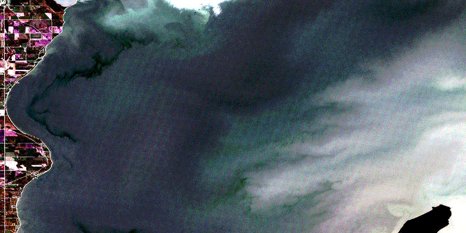
© Department of Natural Resources Canada. All rights reserved.
