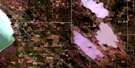
Victoria Beach Satellite Image Map
Download Free Aerial Photo 062I10 at 1:50,000 scale
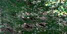
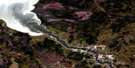
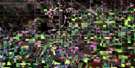
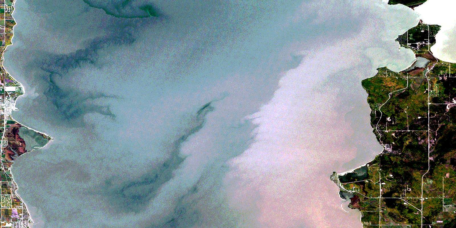
Victoria Beach Satellite Imagery
To view this satellite map, mouse over the air photo on the right.
You can also download this satellite image map for free:
062I10 Victoria Beach high-resolution satellite image map.
Maps for the Victoria Beach aerial map sheet 062I10 at 1:50,000 scale are also available in these versions:
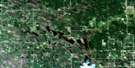
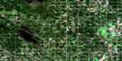
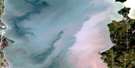
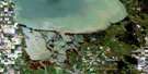
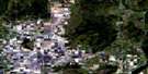
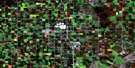
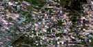
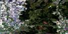
Victoria Beach Surrounding Area Aerial Photo Maps
 |
 |
 |
 |
 |
 |
 |
 |
 |
 |
 |
 |
 |
 |
 |
 |
© Department of Natural Resources Canada. All rights reserved.
Victoria Beach Gazetteer
The following places can be found on satellite image map 062I10 Victoria Beach:
Victoria Beach Satellite Image: Bays
Hillside BayOrvis Bay
Sandy Bay
Traverse Bay
Victoria Beach Satellite Image: Beaches
East BeachGimli Beach
West Beach
Victoria Beach Satellite Image: Capes
Grand Marais PointGrey Willow Point
Hillside Point
Ironwood Point
Volks Point
Willow Point
Victoria Beach Satellite Image: Hydraulic construction
Fish Lake DrainMeleb Drain
Victoria Beach Satellite Image: Islands
Elk IslandStevens Island
Victoria Beach Satellite Image: Lakes
Grand Beach PondLac Winnipeg
Lake Winnipeg
Victoria Beach Satellite Image: Mountains
Balsam Bay HillVictoria Beach Satellite Image: Other municipal/district area - miscellaneous
AlexanderGimli
St. Andrews
St. Clements
Victoria Beach
Victoria Beach Satellite Image: Conservation areas
Bélair Provincial ForestCamp Morton Provincial Park
Camp Morton Provincial Recreation Park
Elk Island Provincial Heritage Park
Elk Island Provincial Park
Grand Beach Provincial Park
Jackfish Lake Game Bird Refuge
Winnipeg Beach Provincial Park
Winnipeg Beach Provincial Recreation Park
Victoria Beach Satellite Image: Rivers
Boundary CreekDinner Creek
Marais Creek
Osier Creek
Willow Creek
Victoria Beach Satellite Image: Road features
La Vérendrye TrailVictoria Beach Satellite Image: Towns
GimliWinnipeg Beach
Victoria Beach Satellite Image: Unincorporated areas
AlbertAlbert Beach
Amanda
Beachside
Bélair
Boundary Park
Camp Morton
Gilwell Estates
Grand Beach
Grand Marais
Hillside Beach
Husavick
Husavik
Kings Park
Lake Forest
Lakeshore Heights
Lester Beach
Loch Woods
Loni Beach
McElheran
Miklavik
Pelican Beach
Plage Albert
Sandy Hook
Sandy Hook Golf Course
Shorepointe Village
Siglavik
South Beach
Sunset Beach
Traverse Bay
Victoria Beach
Wanasing Beach
Whitesand Estates
Willow Island
© Department of Natural Resources Canada. All rights reserved.
