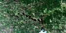
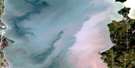
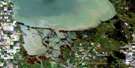
Black River Satellite Image Map
Download Free Aerial Photo 062I16 at 1:50,000 scale
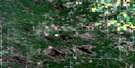
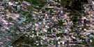
Black River Satellite Imagery
To view this satellite map, mouse over the air photo on the right.
You can also download this satellite image map for free:
062I16 Black River high-resolution satellite image map.
Maps for the Black River aerial map sheet 062I16 at 1:50,000 scale are also available in these versions:
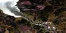
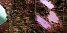
Black River Surrounding Area Aerial Photo Maps
 |
 |
 |
 |
 |
 |
 |
 |
 |
 |
 |
 |
 |
 |
 |
 |
© Department of Natural Resources Canada. All rights reserved.
Black River Gazetteer
The following places can be found on satellite image map 062I16 Black River:
Black River Satellite Image: Capes
Billys PointLittle Birch Point
Mink Point
North Kwantakak Point
Poplar Point
Sturgeon Point
Black River Satellite Image: Falls
Big FallsBlack River Satellite Image: Indian Reserves
Black River 9Black River Satellite Image: Islands
Spruce IslandBlack River Satellite Image: Lakes
Lac WinnipegLake Winnipeg
O'Hanly Pond
Black River Satellite Image: Rapids
Balsam RapidsFirst Rapids
Kakakechaya Rapids
Kowpopkak Rapids
Kowpushkantukak Rapids
Lunch Rapids
Twin Rapids
Black River Satellite Image: Rivers
Beaver CreekBlack River
Kapukwaywetewunk Creek
O'Hanly River
Sandy River
Spooks Creek
Wendigo River
Black River Satellite Image: Unincorporated areas
Little Black RiverO'Hanly
Black River Satellite Image: Low vegetation
Crewes Meadow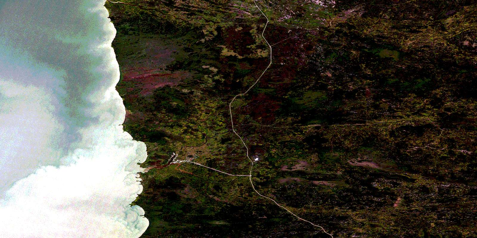
© Department of Natural Resources Canada. All rights reserved.
