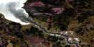
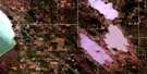
Narcisse Satellite Image Map
Download Free Aerial Photo 062I12 at 1:50,000 scale
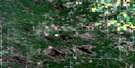
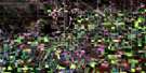
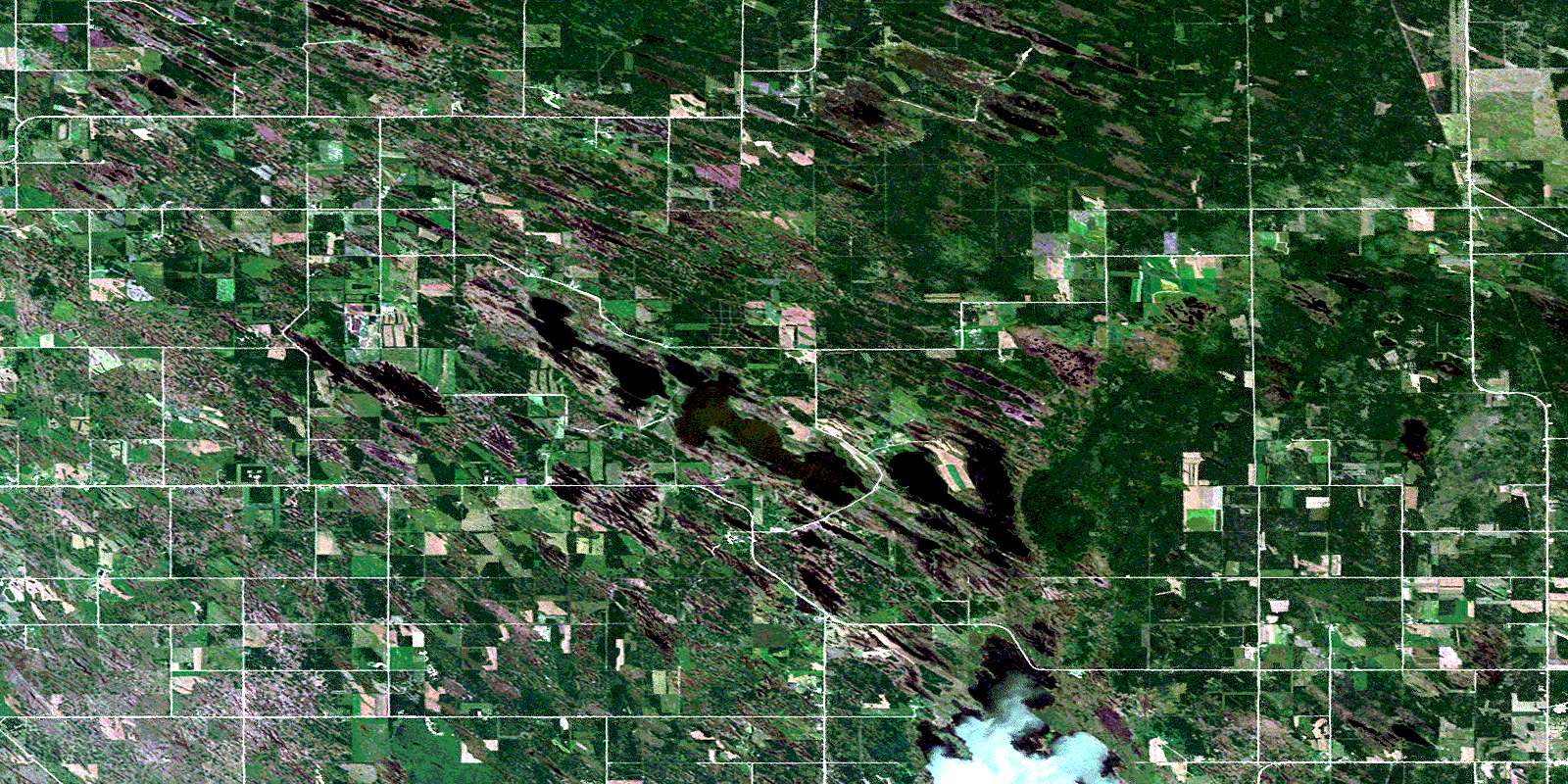
Narcisse Satellite Imagery
To view this satellite map, mouse over the air photo on the right.
You can also download this satellite image map for free:
062I12 Narcisse high-resolution satellite image map.
Maps for the Narcisse aerial map sheet 062I12 at 1:50,000 scale are also available in these versions:
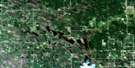
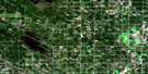
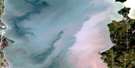
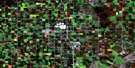
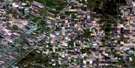
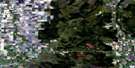
Narcisse Surrounding Area Aerial Photo Maps
 |
 |
 |
 |
 |
 |
 |
 |
 |
 |
 |
 |
 |
 |
 |
 |
© Department of Natural Resources Canada. All rights reserved.
Narcisse Gazetteer
The following places can be found on satellite image map 062I12 Narcisse:
Narcisse Satellite Image: Capes
Lindals PointWillis Point
Narcisse Satellite Image: Cliffs
Oak Island BluffNarcisse Satellite Image: Geographical areas
Oak Point SettlementNarcisse Satellite Image: Hydraulic construction
Hatchery DrainMud Lake Drain
Narcisse Satellite Image: Lakes
Goulet LakesLindals Lake
Mud Lake
North Shoal Lake
Olsens Lake
Pauls Lake
Snake Lake
Stone Lake
Narcisse Satellite Image: Other municipal/district area - miscellaneous
ArmstrongColdwell
St. Laurent
Narcisse Satellite Image: Conservation areas
Clematis Wildlife Management AreaLundar Wildlife Management Area
Narcisse Wildlife Management Area
Sandridge Wildlife Management Area
Narcisse Satellite Image: Unincorporated areas
ClematisHove
Inwood
Lillesve
Markland
Narcisse
Neveton
Otto
Seamo
Stony Hill
Vestfold
Willowview
Narcisse Satellite Image: Low vegetation
La Tourelles SloughMatskows Sloughs
Pages Slough
© Department of Natural Resources Canada. All rights reserved.
