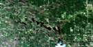
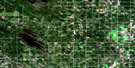
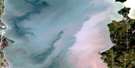
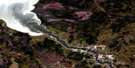
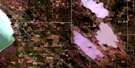
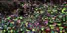
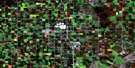
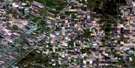
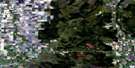
Molson Satellite Image Map
Download Free Aerial Photo 062I01 at 1:50,000 scale
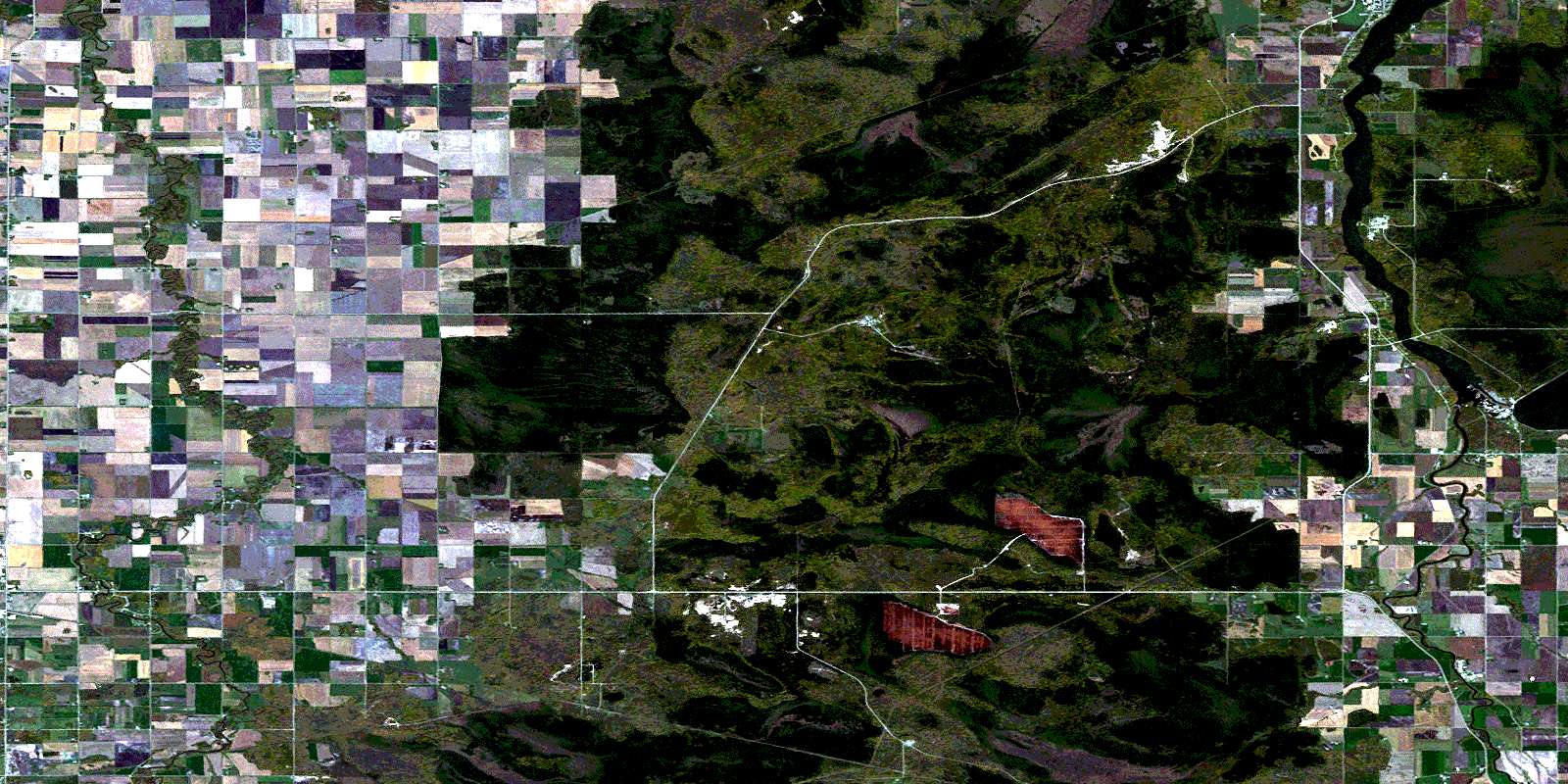
Molson Satellite Imagery
To view this satellite map, mouse over the air photo on the right.
You can also download this satellite image map for free:
062I01 Molson high-resolution satellite image map.
Maps for the Molson aerial map sheet 062I01 at 1:50,000 scale are also available in these versions:
Molson Surrounding Area Aerial Photo Maps
 |
 |
 |
 |
 |
 |
 |
 |
 |
 |
 |
 |
 |
 |
 |
 |
© Department of Natural Resources Canada. All rights reserved.
Molson Gazetteer
The following places can be found on satellite image map 062I01 Molson:
Molson Satellite Image: Bays
Jackfish BayMolson Satellite Image: Falls
Seven Sisters FallsWhitemouth Falls
Molson Satellite Image: Hydraulic construction
Bachman DrainBachman East Drain
Matychak Drain
Seven Sisters Generating Station
Molson Satellite Image: Lakes
Ladywood PondLake Natalie
Mooswa Lake
Natalie Lake
Molson Satellite Image: Mountains
Bunker HillMilner Ridge
Molson Satellite Image: Other municipal/district area - miscellaneous
BrokenheadLac du Bonnet
Pinawa
Reynolds
Whitemouth
Molson Satellite Image: Conservation areas
Agassiz Provincial ForestBrokenhead River Ecological Reserve
Pinawa Provincial Park
Whitemouth Falls Provincial Park
Molson Satellite Image: Rivers
Bears CreekBeaver Creek
Bog River
Brokenhead River
Oldenberg Creek
Rivière Brokenhead
Rivière Winnipeg
Smith Creek
Whitemouth River
Winnipeg River
Molson Satellite Image: Road features
La Vérendrye TrailMolson Satellite Image: Towns
Lac du BonnetMolson Satellite Image: Unincorporated areas
AllegraAneda
Brokenhead
Brokenhead River
Brookfield
Buchan
Cromwell
Glenfields
Golden Bay
Green Bay
Green Oak
Julius
Ladywood
Milner Ridge
Molson
Oldenberg
River Hills
Seddons Corner
Seven Sisters Falls
Siegs Corner
Sproule
St. Ouens
Molson Satellite Image: Low vegetation
Julius BogMolson Bog
© Department of Natural Resources Canada. All rights reserved.
