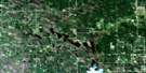
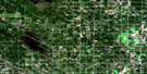
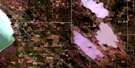
Arborg Satellite Image Map
Download Free Aerial Photo 062I14 at 1:50,000 scale
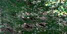
Arborg Satellite Imagery
To view this satellite map, mouse over the air photo on the right.
You can also download this satellite image map for free:
062I14 Arborg high-resolution satellite image map.
Maps for the Arborg aerial map sheet 062I14 at 1:50,000 scale are also available in these versions:
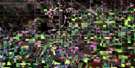
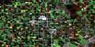
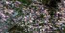
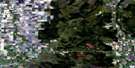
Arborg Surrounding Area Aerial Photo Maps
 |
 |
 |
 |
 |
 |
 |
 |
 |
 |
 |
 |
 |
 |
 |
 |
© Department of Natural Resources Canada. All rights reserved.
Arborg Gazetteer
The following places can be found on satellite image map 062I14 Arborg:
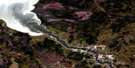
Arborg Satellite Image: Hydraulic construction
Framnes DrainNorth Crooked Lake Drain
Rembrandt Drain
Shurkas Drain
South Crooked Lake Drain
Sylvan Drain
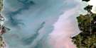
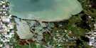
Arborg Satellite Image: Lakes
Chatfield LakeFish Lake
Gull Pond
Pelican Pond
Arborg Satellite Image: Other municipal/district area - miscellaneous
ArmstrongBifrost
Fisher
Gimli
Arborg Satellite Image: Conservation areas
Narcisse Wildlife Management AreaRembrandt Wildlife Management Area
Arborg Satellite Image: Rivers
Icelandic RiverArborg Satellite Image: Towns
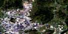
ArborgArborg Satellite Image: Unincorporated areas
BifrostFramnes
Geyser
Jaroslaw
Ledwyn
Morweena
Rembrandt
Silver
Skylake
Zbaraz
Arborg Satellite Image: Villages
Riverton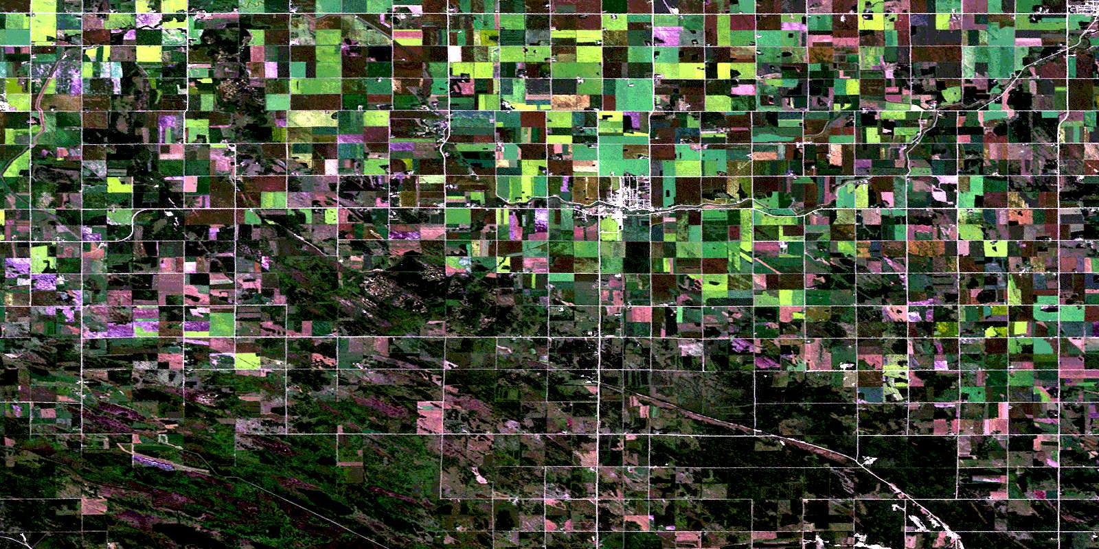
© Department of Natural Resources Canada. All rights reserved.
