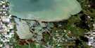
Lac Du Bonnet Satellite Image Map
Download Free Aerial Photo 062I08 at 1:50,000 scale
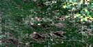
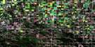
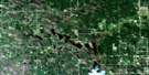
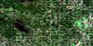
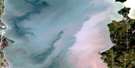
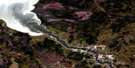
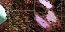
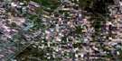
Lac Du Bonnet Satellite Imagery
To view this satellite map, mouse over the air photo on the right.
You can also download this satellite image map for free:
062I08 Lac Du Bonnet high-resolution satellite image map.
Maps for the Lac Du Bonnet aerial map sheet 062I08 at 1:50,000 scale are also available in these versions:
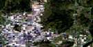
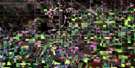
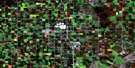
Lac Du Bonnet Surrounding Area Aerial Photo Maps
 |
 |
 |
 |
 |
 |
 |
 |
 |
 |
 |
 |
 |
 |
 |
 |
© Department of Natural Resources Canada. All rights reserved.
Lac Du Bonnet Gazetteer
The following places can be found on satellite image map 062I08 Lac Du Bonnet:
Lac Du Bonnet Satellite Image: Capes
Robertsons PointLac Du Bonnet Satellite Image: Falls
Second McArthur FallsWhite Mud Falls
Lac Du Bonnet Satellite Image: Hydraulic construction
Great Falls Generating StationStead Drain
Lac Du Bonnet Satellite Image: Lakes
Lac du BonnetLac du Bonnet Ponds
Lac Du Bonnet Satellite Image: Mountains
Brightstone Sand HillsMurray Hill
Lac Du Bonnet Satellite Image: Other municipal/district area - miscellaneous
AlexanderBrokenhead
Lac du Bonnet
St. Clements
Lac Du Bonnet Satellite Image: Conservation areas
Agassiz Provincial ForestBélair Provincial Forest
Brightstone Sand Hills Provincial Forest
Catfish Creek Wildlife Management Area
Jackfish Lake Game Bird Refuge
Thalberg Bush Wildlife Management Area
Lac Du Bonnet Satellite Image: Rivers
Brokenhead RiverCatfish Creek
Maple Creek
North Coca Cola Creek
Rivière Brokenhead
Rivière Winnipeg
Winnipeg River
Lac Du Bonnet Satellite Image: Road features
Chemin La VérendryeLa Vérendrye Trail
Lac Du Bonnet Satellite Image: Shoals
Blueberry RockLac Du Bonnet Satellite Image: Towns
Lac du BonnetLac Du Bonnet Satellite Image: Unincorporated areas
BrightstoneCrescent Bay
Dencross
Glenmoor
Great Falls
Greenwald
Lowland
Murray Hill
Spring Well
Stead
Thalberg
Wentland
White Mud Falls
Lac Du Bonnet Satellite Image: Low vegetation
Fatima Slough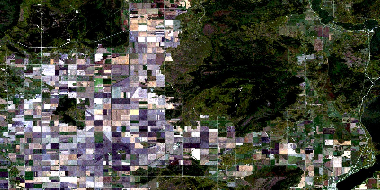
© Department of Natural Resources Canada. All rights reserved.
