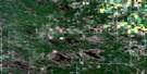
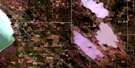
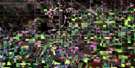
Poplarfield Satellite Image Map
Download Free Aerial Photo 062I13 at 1:50,000 scale
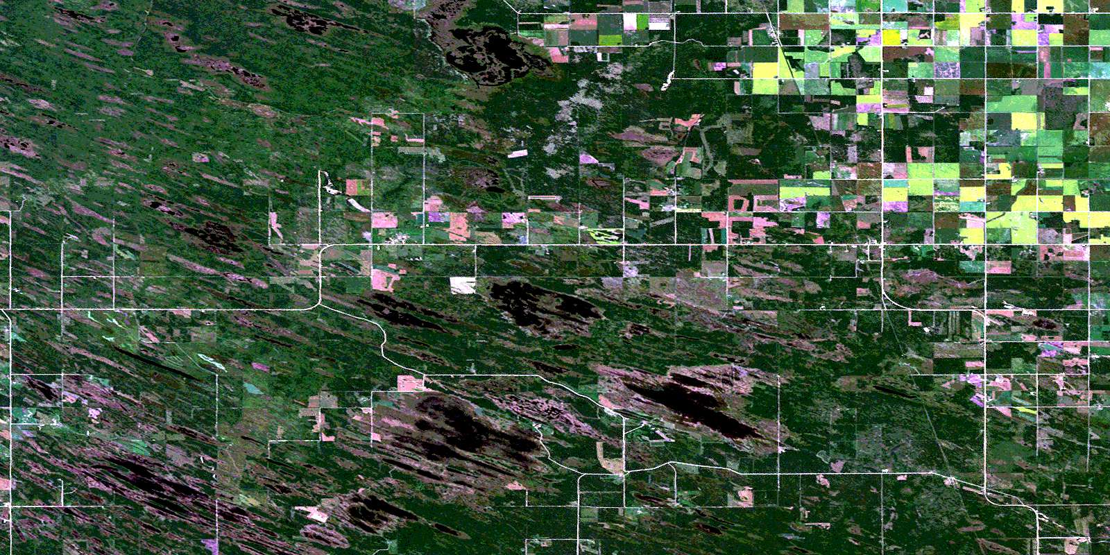
Poplarfield Satellite Imagery
To view this satellite map, mouse over the air photo on the right.
You can also download this satellite image map for free:
062I13 Poplarfield high-resolution satellite image map.
Maps for the Poplarfield aerial map sheet 062I13 at 1:50,000 scale are also available in these versions:
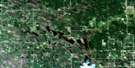
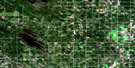
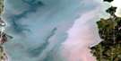
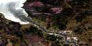
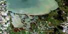
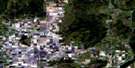
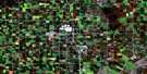
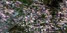
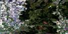
Poplarfield Surrounding Area Aerial Photo Maps
 |
 |
 |
 |
 |
 |
 |
 |
 |
 |
 |
 |
 |
 |
 |
 |
© Department of Natural Resources Canada. All rights reserved.
Poplarfield Gazetteer
The following places can be found on satellite image map 062I13 Poplarfield:
Poplarfield Satellite Image: Hydraulic construction
Broad Valley DrainShurkas Drain
Poplarfield Satellite Image: Lakes
Big Swan LakeBuffalo Lake
Burnt Lake
Burwash Lake
Cartier Lake
Deep Lake
Holmes Lake
Hunter Lake
Island Lake
Little Swan Lake
Loon Lake
Oak Lake
Otter Lake
Spruce Lake
Poplarfield Satellite Image: Other municipal/district area - miscellaneous
ArmstrongColdwell
Eriksdale
Fisher
Grahamdale
Poplarfield Satellite Image: Conservation areas
Broad Valley Wildlife Management AreaLundar Wildlife Management Area
Narcisse Wildlife Management Area
Sharpewood Wildlife Management Area
Sharpwood Wildlife Management Area
Sleeve Lake Wildlife Management Area
Poplarfield Satellite Image: Unincorporated areas
Broad ValleyChatfield
Poplarfield
Sharpewood
Suffren
Tipperary
Vannes
Poplarfield Satellite Image: Low vegetation
Oak Island MarshParnells Swamp
© Department of Natural Resources Canada. All rights reserved.
