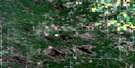
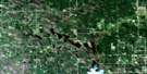
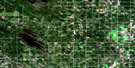
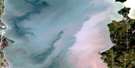
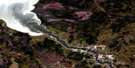
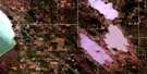
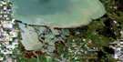
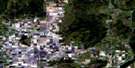
Pine Falls Satellite Image Map
Download Free Aerial Photo 062I09 at 1:50,000 scale
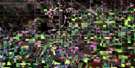
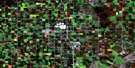
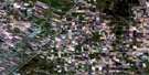
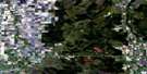
Pine Falls Satellite Imagery
To view this satellite map, mouse over the air photo on the right.
You can also download this satellite image map for free:
062I09 Pine Falls high-resolution satellite image map.
Maps for the Pine Falls aerial map sheet 062I09 at 1:50,000 scale are also available in these versions:
Pine Falls Surrounding Area Aerial Photo Maps
 |
 |
 |
 |
 |
 |
 |
 |
 |
 |
 |
 |
 |
 |
 |
 |
© Department of Natural Resources Canada. All rights reserved.
Pine Falls Gazetteer
The following places can be found on satellite image map 062I09 Pine Falls:
Pine Falls Satellite Image: Bays
Morrisseau BaySlasher Bay
Traverse Bay
Pine Falls Satellite Image: Capes
Abraham PointAtkinson Point
Birch Point
Boubards Point
Bruyère Point
Courchesne Point
Fletts Point
Fontaine Point
Fryer Point
Hudsons Bay Point
Jackfish Point
James Point
Kent Point
Manitou Point
Mitas Point
Point Mitas
Princes Point
Provost Point
Rackhams Point
Robertsons Point
Sharp Point
Sharpes Point
Sinclair Point
South Kwantakak Point
Spence Point
Starr Point
Treaty Point
Twohearts Point
Pine Falls Satellite Image: Falls
Pine FallsPowerview-Pine Falls
Silver Falls
Pine Falls Satellite Image: Hydraulic construction
Pine Falls Generating StationPine Falls Satellite Image: Indian Reserves
Fort Alexander 3Pine Falls Satellite Image: Islands
Cordwood IslandDevil Island
Meyer Island
Sinclair Island
Treaty Island
Pine Falls Satellite Image: Lakes
Isbister LakesJackfish Lake
Lac Winnipeg
Lake Winnipeg
Powerview Pond
St-Georges Pond
Pine Falls Satellite Image: Mountains
Kanipatenak HillsPine Falls Satellite Image: Other municipal/district area - miscellaneous
AlexanderPine Falls Satellite Image: Conservation areas
Bélair Provincial ForestBrightstone Sand Hills Provincial Forest
Catfish Creek Wildlife Management Area
Jackfish Lake Game Bird Refuge
Pine Falls Provincial Recreation Park
Pine Falls Satellite Image: Rapids
Manitou RapidsMaskwa Rapids
Pine Falls Satellite Image: Rivers
Catfish CreekJackfish Creek
Kent Creek
Little Bear Creek
Maskwa River
Nathan Chevrefils Creek
Pine Creek
Princes Creek
Rivière Winnipeg
Sandy Creek
Spence Creek
Winnipeg River
Pine Falls Satellite Image: Road features
Chemin La VérendryeLa Vérendrye Trail
Pine Falls Satellite Image: Shoals
Bousquet RocksFryer Rocks
Gellin Shoal
Hudsons Bay Rock
Rackham Rock
Robinson Rock
Sultana Rock
Treaty Rock
Wright Rock
Pine Falls Satellite Image: Unincorporated areas
Fort AlexanderPine Falls
Silver Falls
St. George
St-Georges
The Rock
Traverse Bay
Pine Falls Satellite Image: Villages
Powerview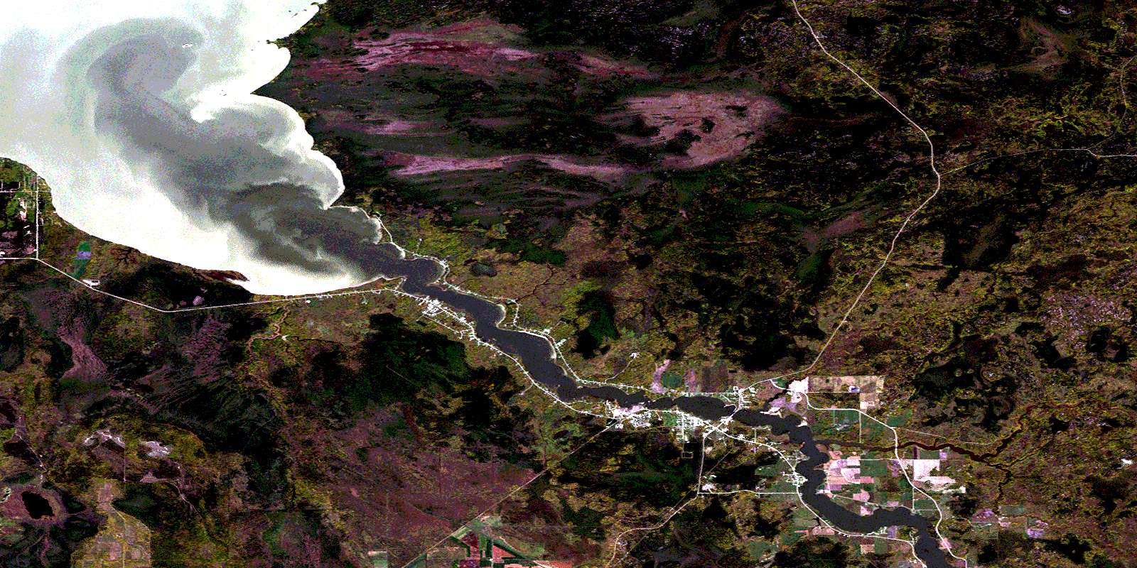
© Department of Natural Resources Canada. All rights reserved.
