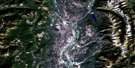
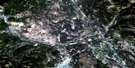
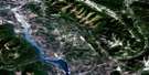
Moyie Lake Satellite Image Map
Download Free Aerial Photo 082G05 at 1:50,000 scale
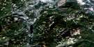
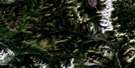
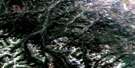
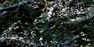
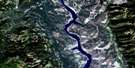
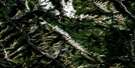
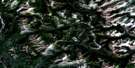
Moyie Lake Satellite Imagery
To view this satellite map, mouse over the air photo on the right.
You can also download this satellite image map for free:
082G05 Moyie Lake high-resolution satellite image map.
Maps for the Moyie Lake aerial map sheet 082G05 at 1:50,000 scale are also available in these versions:
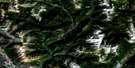
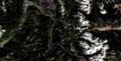
Moyie Lake Surrounding Area Aerial Photo Maps
 |
 |
 |
 |
 |
 |
 |
 |
 |
 |
 |
 |
 |
 |
 |
 |
© Department of Natural Resources Canada. All rights reserved.
Moyie Lake Gazetteer
The following places can be found on satellite image map 082G05 Moyie Lake:
Moyie Lake Satellite Image: City
CranbrookMoyie Lake Satellite Image: Indian Reserves
Cassimayooks (Mayook) Indian Reserve 5Cassimayooks Indian Reserve 5
Réserve indienne Cassimayooks (Mayook) 5
Réserve indienne Cassimayooks 5
Moyie Lake Satellite Image: Lakes
Bednorski LakeEdith Lake
Elizabeth Lake
Hiawatha Lake
Jim Smith Lake
Kiakho Lake
Kiakho Lakes
Kiaklo Lake
Mineral Lake
Monroe Lake
Moyie Lake
Negro Lake
Nigger Lake
Pyatts Lake
Moyie Lake Satellite Image: Mountains
Columbia MountainsCranbrook Mountain
McGillivray Range
Mount Baker
Mount Casey
Mount Connell
Mount Joseph
Moyie Mountain
Moyie Range
Purcell Mountains
Moyie Lake Satellite Image: Major municipal/district area - major agglomerations
Regional District of East KootenayMoyie Lake Satellite Image: Conservation areas
Jim Smith Lake ParkJimsmith Lake Park
Moyie Lake Park
Moyie Lake Satellite Image: Rivers
Andrea CreekAngus Creek
Arnold Creek
Barkshanty Creek
Beatie Creek
Boulder Creek
Braunagel Creek
Chipka Creek
Cotton Creek
Doran Creek
Edith Creek
Etna Creek
Farrell Creek
Glencairn Creek
Gold Creek
Gold Hill Creek
Haha Creek
Hogg Creek
Jim Smith Creek
Jimsmith Creek
Joseph Creek
Katlsa Creek
Kiakho Creek
Kootenay River
Lake Creek
Lamb Creek
Little Lamb Creek
Mayook Creek
Monroe Creek
Moyie River
Negro Creek
Nigger Creek
Noke Creek
Oke Creek
Palmer Bar Creek
Peavine Creek
Prudhomme Creek
Rabbit Foot Creek
Salesbury Creek
Scott Creek
Semlin Creek
Tate Creek
Tepee Creek
Whitney Creek
Wuho Creek
Moyie Lake Satellite Image: Unincorporated areas
AldridgeBaker
Fassiferne
Fenwick
Jerome
Lumberton
Mayook
Moyie
Rockyview
Swansea
Moyie Lake Satellite Image: Valleys
Rocky Mountain TrenchMoyie Lake Satellite Image: Low vegetation
Cranbrook Marsh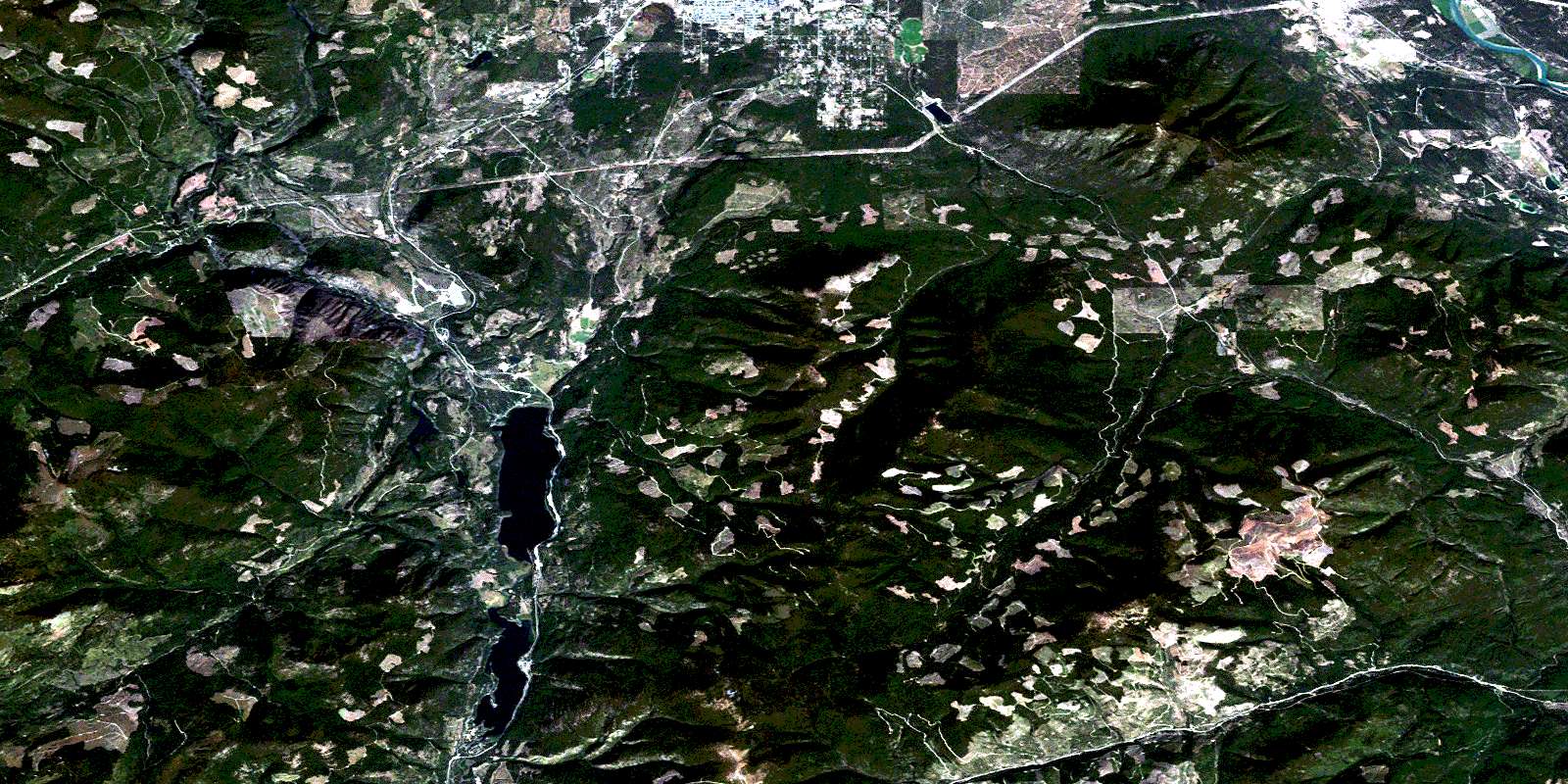
© Department of Natural Resources Canada. All rights reserved.
082G Related Maps:
082G Fernie082G01 Sage Creek
082G02 Inverted Ridge
082G03 Lake Koocanusa
082G04 Yahk River
082G05 Moyie Lake
082G06 Elko
082G07 Flathead Ridge
082G08 Beaver Mines
082G09 Blairmore
082G10 Crowsnest
082G11 Fernie
082G12 Cranbrook
082G13 Skookumchuck
082G14 Queen Creek
082G15 Tornado Mountain
082G16 Maycroft
