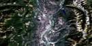
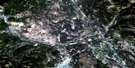
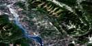
Beaver Mines Satellite Image Map
Download Free Aerial Photo 082G08 at 1:50,000 scale
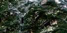
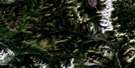
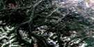
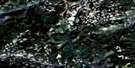
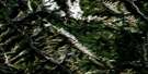
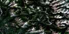
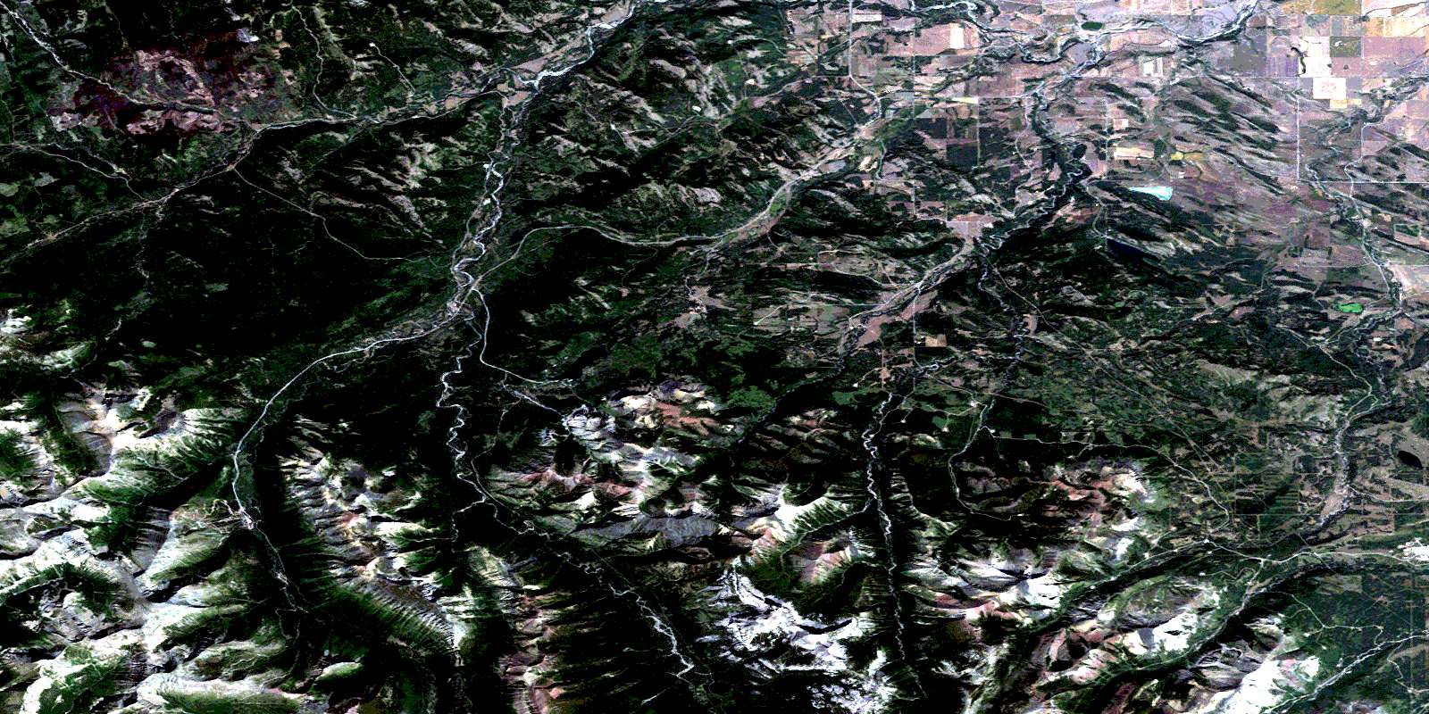
Beaver Mines Satellite Imagery
To view this satellite map, mouse over the air photo on the right.
You can also download this satellite image map for free:
082G08 Beaver Mines high-resolution satellite image map.
Maps for the Beaver Mines aerial map sheet 082G08 at 1:50,000 scale are also available in these versions:
Beaver Mines Surrounding Area Aerial Photo Maps
 |
 |
 |
 |
 |
 |
 |
 |
 |
 |
 |
 |
 |
 |
 |
 |
© Department of Natural Resources Canada. All rights reserved.
Beaver Mines Gazetteer
The following places can be found on satellite image map 082G08 Beaver Mines:
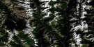
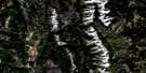
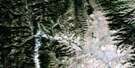
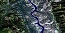
Beaver Mines Satellite Image: Lakes
Barnaby LakeBeauvais Lake
Beaver Mines Lake
Butcher's Lake
Daigle Lake
Fish Lake
Grizzly Lake
Marna Lake
Southfork Lakes
Beaver Mines Satellite Image: Mountains
Barnaby RidgeBlairmore Range
Border Ranges
Border Ranges
Carbondale Hill
Castle Peak
Cherry Hill
Christie Mine Ridge
Clark Range
Clark Range
Clarke Range
Drywood Mountain
Ginger Hill
Gravenstafel Ridge
Hastings Ridge
Lys Ridge
Maverick Hill
Montagnes Rocheuses
Montagnes Rocheuses
Mount Backus
Mount Gladstone
Mount Haig
Mount Haig
Mount McCarty
North Castle
Pincher Ridge
Prairie Bluff
Rainy Ridge
Rainy Ridge
Rocky Mountain Foothills
Rocky Mountains
Rocky Mountains
Southfork Mountain
St. Eloi Mountain
St. Eloi Mountain
Syncline Mountain
Table Mountain
Tombstone Mountain
Victoria Peak
West Castle
Whistler Mountain
Windsor Mountain
Windsor Ridge
Beaver Mines Satellite Image: Major municipal/district area - major agglomerations
Municipal District of Pincher Creek No. 9Regional District of East Kootenay
Beaver Mines Satellite Image: Other municipal/district area - miscellaneous
Improvement District No. 40Improvement District No. 6
Improvement District of Ranchland No. 6
Beaver Mines Satellite Image: Conservation areas
Beauvais Lake Provincial ParkBeaver Mines Satellite Image: Provinces
AlbertaBeaver Mines Satellite Image: Rivers
Barnaby CreekBeaver Mines Creek
Byron Creek
Carbondale River
Castle River
Cate Creek
Chipman Creek
Drywood Creek
Gardiner Creek
Gladstone Creek
Goat Creek
Gravenstafel Brook
Grizzly Creek
Haig Brook
Jackson Creek
Lost Creek
Lynx Creek
Middlepass Creek
Mill Creek
Nigger Creek
North Lost Creek
Pincher Creek
Screwdriver Creek
South Drywood Creek
South Drywood River
South Lost Creek
Spionkop Creek
St. Eloi Brook
Suicide Creek
Syncline Brook
West Castle River
Whitney Creek
Beaver Mines Satellite Image: Towns
Crowsnest PassBeaver Mines Satellite Image: Unincorporated areas
Beaver MinesBeaver Mines Satellite Image: Valleys
Middle Kootenay PassMiddle Kootenay Pass
© Department of Natural Resources Canada. All rights reserved.
082G Related Maps:
082G Fernie082G01 Sage Creek
082G02 Inverted Ridge
082G03 Lake Koocanusa
082G04 Yahk River
082G05 Moyie Lake
082G06 Elko
082G07 Flathead Ridge
082G08 Beaver Mines
082G09 Blairmore
082G10 Crowsnest
082G11 Fernie
082G12 Cranbrook
082G13 Skookumchuck
082G14 Queen Creek
082G15 Tornado Mountain
082G16 Maycroft
