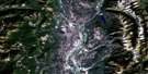
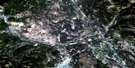
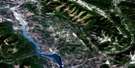
Maycroft Satellite Image Map
Download Free Aerial Photo 082G16 at 1:50,000 scale
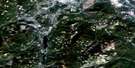
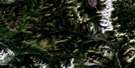
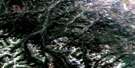
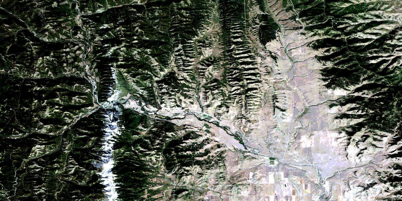
Maycroft Satellite Imagery
To view this satellite map, mouse over the air photo on the right.
You can also download this satellite image map for free:
082G16 Maycroft high-resolution satellite image map.
Maps for the Maycroft aerial map sheet 082G16 at 1:50,000 scale are also available in these versions:
Maycroft Surrounding Area Aerial Photo Maps
 |
 |
 |
 |
 |
 |
 |
 |
 |
 |
 |
 |
 |
 |
 |
 |
© Department of Natural Resources Canada. All rights reserved.
Maycroft Gazetteer
The following places can be found on satellite image map 082G16 Maycroft:
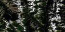
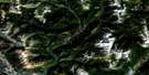
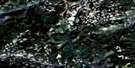
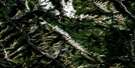
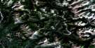
Maycroft Satellite Image: Mountains
Antelope ButteBlack Mountain
Fly Hill
Livingstone Range
Montagnes Rocheuses
Montagnes Rocheuses
Porcupine Hills
Rocky Mountain Foothills
Rocky Mountains
Rocky Mountains
Sand Bluff
Thunder Mountain
Whaleback Ridge
Maycroft Satellite Image: Major municipal/district area - major agglomerations
Municipal District of Pincher Creek No. 9Municipal District of Ranchland No. 66
Maycroft Satellite Image: Other municipal/district area - miscellaneous
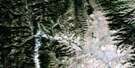
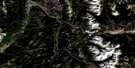
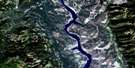
Improvement District of Ranchland No. 6Maycroft Satellite Image: Rivers
Adair CreekBeaverdam Creek
Black Creek
Bob Creek
Burke Creek
Burton Creek
Callum Creek
Camp Creek
Cow Juicer Creek
Coyote Creek
Daisy Creek
Damon Creek
Dutch Creek
Ernst Creek
Fly Creek
Grave Brook
Heath Creek
Hidden Creek
Indian Creek
Jim Creek
Lassie Creek
Livingstone River
Manystick Creek
Mead Creek
North Creek
Oldman River
Olin Creek
Playle Creek
Pocket Creek
Poole Creek
Racehorse Creek
Salt Creek
Shale Creek
ShaleCreek
Sharples Creek
Snake Creek
South Todd Creek
Station Creek
Tetley Creek
Todd Creek
Vicary Creek
Webber Creek
White Creek
Wintering Creek
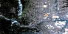
Maycroft Satellite Image: Unincorporated areas
MaycroftTod Creek
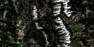
Maycroft Satellite Image: Valleys
Big CouléeCow Juicer Pass
Dry Coulée
Eagle Coulée
Jackknife Coulée
Michael Coulée
Miles Coulée
Mill Coulée
The Gap
Willow Valley
© Department of Natural Resources Canada. All rights reserved.
082G Related Maps:
082G Fernie082G01 Sage Creek
082G02 Inverted Ridge
082G03 Lake Koocanusa
082G04 Yahk River
082G05 Moyie Lake
082G06 Elko
082G07 Flathead Ridge
082G08 Beaver Mines
082G09 Blairmore
082G10 Crowsnest
082G11 Fernie
082G12 Cranbrook
082G13 Skookumchuck
082G14 Queen Creek
082G15 Tornado Mountain
082G16 Maycroft
