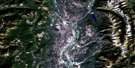
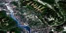
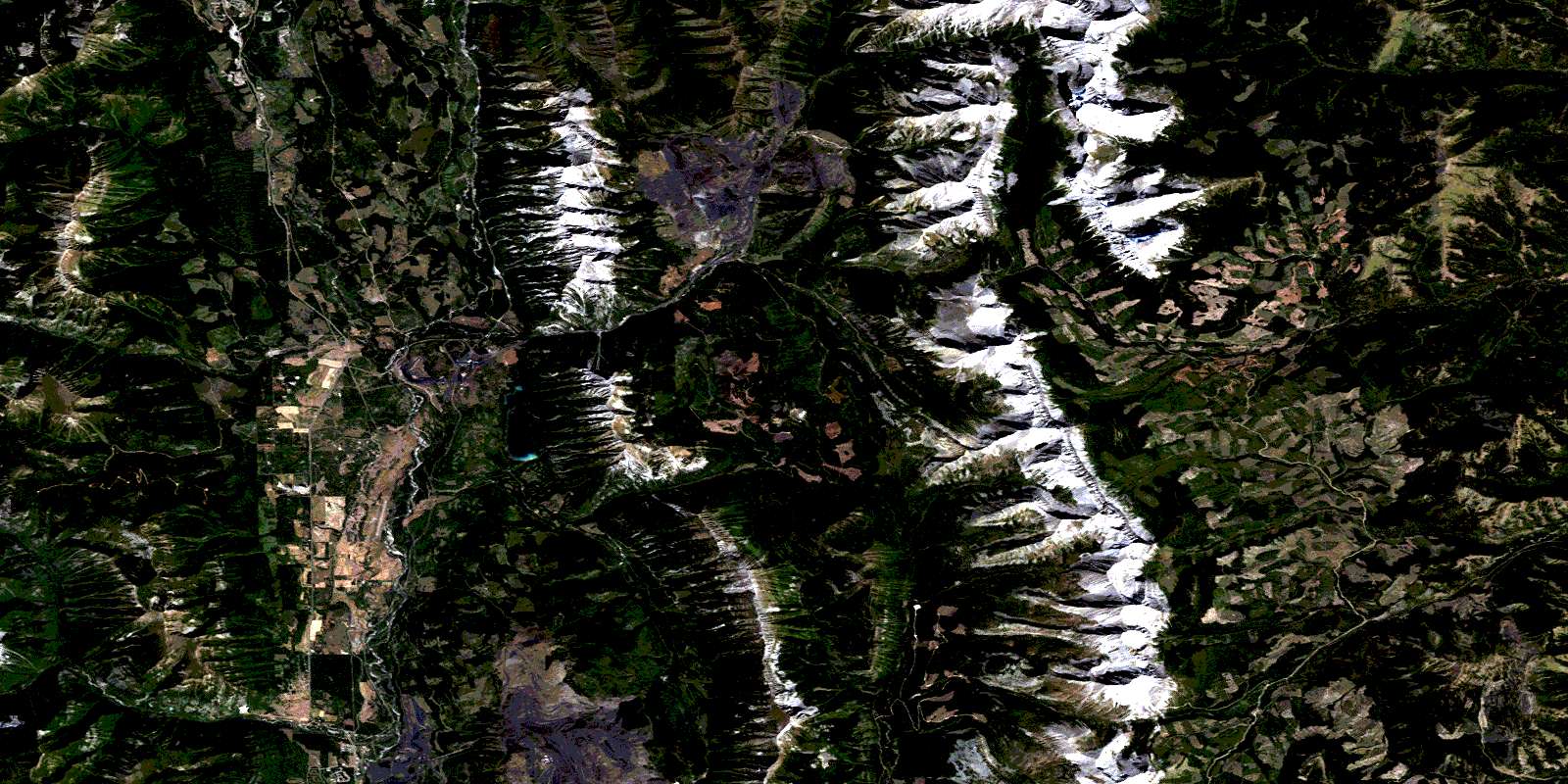
Tornado Mountain Satellite Image Map
Download Free Aerial Photo 082G15 at 1:50,000 scale
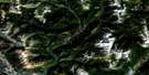
Tornado Mountain Satellite Imagery
To view this satellite map, mouse over the air photo on the right.
You can also download this satellite image map for free:
082G15 Tornado Mountain high-resolution satellite image map.
Maps for the Tornado Mountain aerial map sheet 082G15 at 1:50,000 scale are also available in these versions:
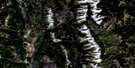
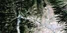
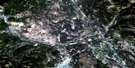
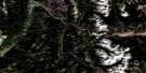
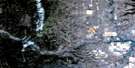
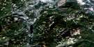
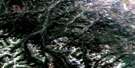
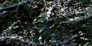
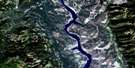
Tornado Mountain Surrounding Area Aerial Photo Maps
 |
 |
 |
 |
 |
 |
 |
 |
 |
 |
 |
 |
 |
 |
 |
 |
© Department of Natural Resources Canada. All rights reserved.
Tornado Mountain Gazetteer
The following places can be found on satellite image map 082G15 Tornado Mountain:
Tornado Mountain Satellite Image: District municipality
ElkfordSparwood
Tornado Mountain Satellite Image: Lakes
Grave LakeHarriet Lake
Window Mountain Lake
Tornado Mountain Satellite Image: Mountains
Baldy MountainErickson Ridge
Fording Mountain
Gould Dome
Grassy Ridge
Harmer Ridge
High Rock Range
High Rock Range
Horseshoe Ridge
Jenkinson Peak
Montagnes Rocheuses
Montagnes Rocheuses
Mount Domke
Mount Erris
Mount Erris
Mount Lyne
Mount Salter
Mount Secord
Mount Secord
Mount Ward
Natal Ridge
Rocky Mountains
Rocky Mountains
Sheep Mountain
Tornado Mountain
Tornado Mountain
Wisukitsak Range
Tornado Mountain Satellite Image: Major municipal/district area - major agglomerations
Municipal District of Ranchland No. 66Regional District of East Kootenay
Tornado Mountain Satellite Image: Other municipal/district area - miscellaneous
Improvement District of Ranchland No. 6Tornado Mountain Satellite Image: Rivers
Alexander CreekBodie Creek
Brûlé Creek
Cummings Creek
Dalzell Creek
Dutch Creek
Elk River
Erickson Creek
Fording River
Grace Creek
Grave Creek
Harmer Creek
Hollow Creek
Line Creek
Littlemoor Creek
Mansfield Creek
Nordstrum Creek
North Littlemoor Creek
North Racehorse Creek
Oké Creek
Oldman River
Racehorse Creek
Racehorse Creek
Rhodes Creek
Ross Creek
South Hidden Creek
South Line Creek
South Racehorse Creek
Telford Creek
Tornado Creek
Vicary Creek
Weigert Creek
West Alexander Creek
West Line Creek
Whiting Creek
Will Weaver Creek
Wintering Creek
Tornado Mountain Satellite Image: Unincorporated areas
Elk PrairieHarmer
Line Creek
Tornado Mountain Satellite Image: Valleys
North Fork PassNorth Fork Pass
Racehorse Pass
Racehorse Pass
Tornado Pass
Tornado Pass
© Department of Natural Resources Canada. All rights reserved.
082G Related Maps:
082G Fernie082G01 Sage Creek
082G02 Inverted Ridge
082G03 Lake Koocanusa
082G04 Yahk River
082G05 Moyie Lake
082G06 Elko
082G07 Flathead Ridge
082G08 Beaver Mines
082G09 Blairmore
082G10 Crowsnest
082G11 Fernie
082G12 Cranbrook
082G13 Skookumchuck
082G14 Queen Creek
082G15 Tornado Mountain
082G16 Maycroft
