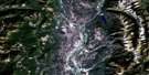
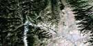
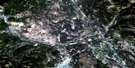
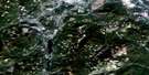
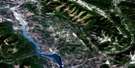
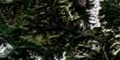
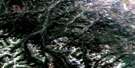
Blairmore Satellite Image Map
Download Free Aerial Photo 082G09 at 1:50,000 scale
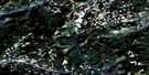
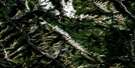
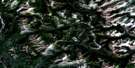
Blairmore Satellite Imagery
To view this satellite map, mouse over the air photo on the right.
You can also download this satellite image map for free:
082G09 Blairmore high-resolution satellite image map.
Maps for the Blairmore aerial map sheet 082G09 at 1:50,000 scale are also available in these versions:
Blairmore Surrounding Area Aerial Photo Maps
 |
 |
 |
 |
 |
 |
 |
 |
 |
 |
 |
 |
 |
 |
 |
 |
© Department of Natural Resources Canada. All rights reserved.
Blairmore Gazetteer
The following places can be found on satellite image map 082G09 Blairmore:
Blairmore Satellite Image: Falls
Byron Creek FallsLundbreck Falls
Blairmore Satellite Image: Lakes
Frank LakeHudson Bay Lake
Lee Lake
Lees Lake
Redfern Lake
Ross Lake
Blairmore Satellite Image: Mountains
Blairmore RangeBluff Mountain
Byron Hill
Caudron Peak
Centre Peak
Chapel Butte
Chapel Rock
Frank Slide
Grassy Mountain
Hastings Ridge
Hillcrest Mountain
Livingstone Range
Massacre Butte
Montagnes Rocheuses
Montagnes Rocheuses
Robertson Peak
Rocky Mountain Foothills
Rocky Mountains
Rocky Mountains
Saskatoon Mountain
Tallon Peak
Turtle Mountain
Unnecessary Mountain
Willoughby Ridge
Blairmore Satellite Image: Major municipal/district area - major agglomerations
Municipal District of Pincher Creek No. 9Municipal District of Ranchland No. 66
Blairmore Satellite Image: Other municipal/district area - miscellaneous
Improvement District No. 6Improvement District of Ranchland No. 6
Blairmore Satellite Image: Conservation areas
Frank Slide Interpretive Centre Provincial Historic Site (Developed)Leitch Collieries Provincial Historic Site (Developed)
Massacre Butte Provincial Historic Site (Undeveloped)
Blairmore Satellite Image: Plains
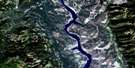
Police FlatsBlairmore Satellite Image: Rivers
Blairmore CreekByron Creek
Cabin Creek
Castle River
Caudron Creek
Connelly Creek
Cow Creek
Crownest River
Crowsnest River
Daisy Creek
Drum Creek
Gold Creek
Green Creek
Jackson Creek
Lynx Creek
Lyons Creek
Morin Creek
Nez Percé Creek
Oldman River
Olin Creek
Pelletier Creek
Rock Creek
Ross Creek
South Todd Creek
Todd Creek
Wildcat Creek
York Creek
Blairmore Satellite Image: Towns
Crowsnest PassBlairmore Satellite Image: Unincorporated areas
BellevueBlairmore
Burmis
Coleman
Frank
Hillcrest
Hillcrest Mines
Lundbreck
North Fork
Blairmore Satellite Image: Villages
Cowley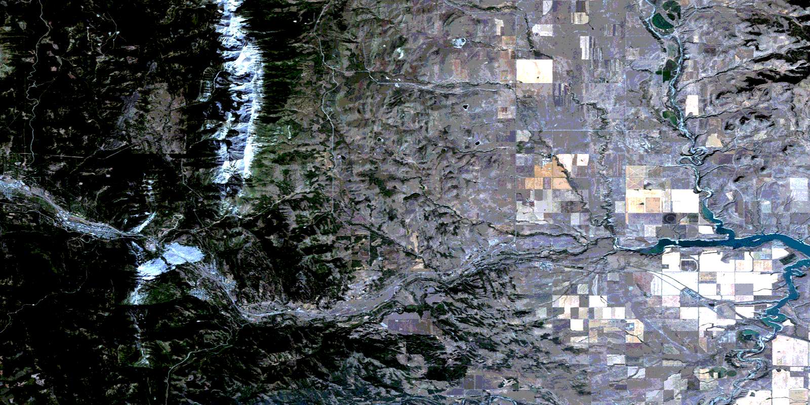
© Department of Natural Resources Canada. All rights reserved.
082G Related Maps:
082G Fernie082G01 Sage Creek
082G02 Inverted Ridge
082G03 Lake Koocanusa
082G04 Yahk River
082G05 Moyie Lake
082G06 Elko
082G07 Flathead Ridge
082G08 Beaver Mines
082G09 Blairmore
082G10 Crowsnest
082G11 Fernie
082G12 Cranbrook
082G13 Skookumchuck
082G14 Queen Creek
082G15 Tornado Mountain
082G16 Maycroft
