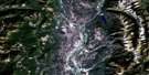
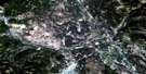
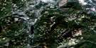
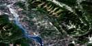
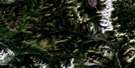
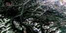
Cranbrook Satellite Image Map
Download Free Aerial Photo 082G12 at 1:50,000 scale
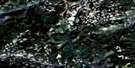
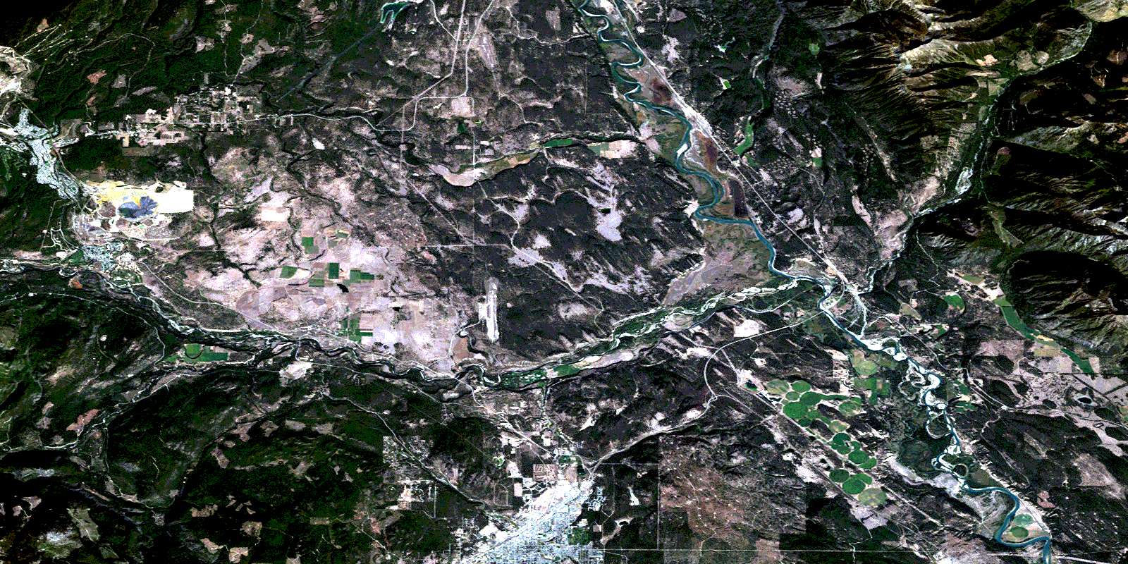
Cranbrook Satellite Imagery
To view this satellite map, mouse over the air photo on the right.
You can also download this satellite image map for free:
082G12 Cranbrook high-resolution satellite image map.
Maps for the Cranbrook aerial map sheet 082G12 at 1:50,000 scale are also available in these versions:
Cranbrook Surrounding Area Aerial Photo Maps
 |
 |
 |
 |
 |
 |
 |
 |
 |
 |
 |
 |
 |
 |
 |
 |
© Department of Natural Resources Canada. All rights reserved.
Cranbrook Gazetteer
The following places can be found on satellite image map 082G12 Cranbrook:
Cranbrook Satellite Image: City
CranbrookKimberley
Cranbrook Satellite Image: Indian Reserves
Bummers Flat Indian Reserve 6Isidore's Ranch Indian Reserve 4
Kootenay Indian Reserve 1
Réserve indienne Bummers Flat 6
Réserve indienne Isidore's Ranch 4
Réserve indienne Kootenay 1
Réserve indienne Saint Mary's 1A
Saint Mary's Indian Reserve 1A
Cranbrook Satellite Image: Lakes
Alkaline LakeBartholomew Lake
Bock Lake
Elmer Lake
Hahas Lake
Horseshoe Lake
Kiakho Lake
Kiakho Lakes
Kiaklo Lake
McGinty Lake
New Lake
Pattons Lake
Reade Lake
Saugum Lake
Sylvan Lake
Taylor Slough
Cranbrook Satellite Image: Mountains
Columbia MountainsKootenay Ranges
Lakit Mountain
Lone Mountain
Lone Peak
Lone Pine Hill
Montagnes Rocheuses
Moyie Range
Purcell Mountains
Rocky Mountains
Vertical Mountain
Cranbrook Satellite Image: Major municipal/district area - major agglomerations
Regional District of East KootenayCranbrook Satellite Image: Conservation areas
Fort Steele Heritage TownFort Steele Park
Cranbrook Satellite Image: Plains
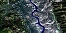
Bummers FlatsCranbrook Satellite Image: Rivers
Angus CreekAntwerp Creek
Arnold Creek
Booth Creek
Boulder Creek
Brewery Creek
Burnett Creek
East Wild Horse River
Elmer Creek
Fisher Creek
Herbert Creek
Highway Creek
Horseshoe Creek
Hospital Creek
Houle Creek
Jim Smith Creek
Jimsmith Creek
Joseph Creek
Khartoum Creek
Kimberley Creek
Kootenay River
Lakit Creek
Levitt Creek
Lisbon Creek
Lois Creek
Lost Dog Creek
Luke Creek
Mark Creek
Mather Creek
Mause Creek
Mayook Creek
Palmer Bar Creek
Perry Creek
Saugum Creek
Scott Creek
Slide Creek
Spirit Creek
St. Mary River
Staples Creek
Sunk Creek
Tackle Creek
Victoria Creek
Wait Creek
Wallinger Creek
Whiskey Creek
Wild Horse River
Cranbrook Satellite Image: Road features
North Star Wagon Road (McGinty Trail) (1894-1902)Cranbrook Satellite Image: Towns
SteeleCranbrook Satellite Image: Unincorporated areas
Chapman CampConcentrator
Eager
Fenwick
Fir
Fort Steele
Marysville
Marysville Station
North Star
Old Town
Porteous
Rampart
Riley
Rockyview
St. Eugene Mission
Wanklyn
Wycliffe
Cranbrook Satellite Image: Valleys
Isidore CanyonLost Dog Canyon
Lostdog Canyon
Rocky Mountain Trench
Shepherd Gulch
© Department of Natural Resources Canada. All rights reserved.
082G Related Maps:
082G Fernie082G01 Sage Creek
082G02 Inverted Ridge
082G03 Lake Koocanusa
082G04 Yahk River
082G05 Moyie Lake
082G06 Elko
082G07 Flathead Ridge
082G08 Beaver Mines
082G09 Blairmore
082G10 Crowsnest
082G11 Fernie
082G12 Cranbrook
082G13 Skookumchuck
082G14 Queen Creek
082G15 Tornado Mountain
082G16 Maycroft
