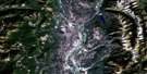
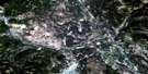
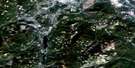
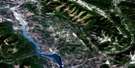
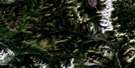
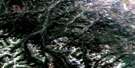
Flathead Ridge Satellite Image Map
Download Free Aerial Photo 082G07 at 1:50,000 scale
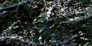
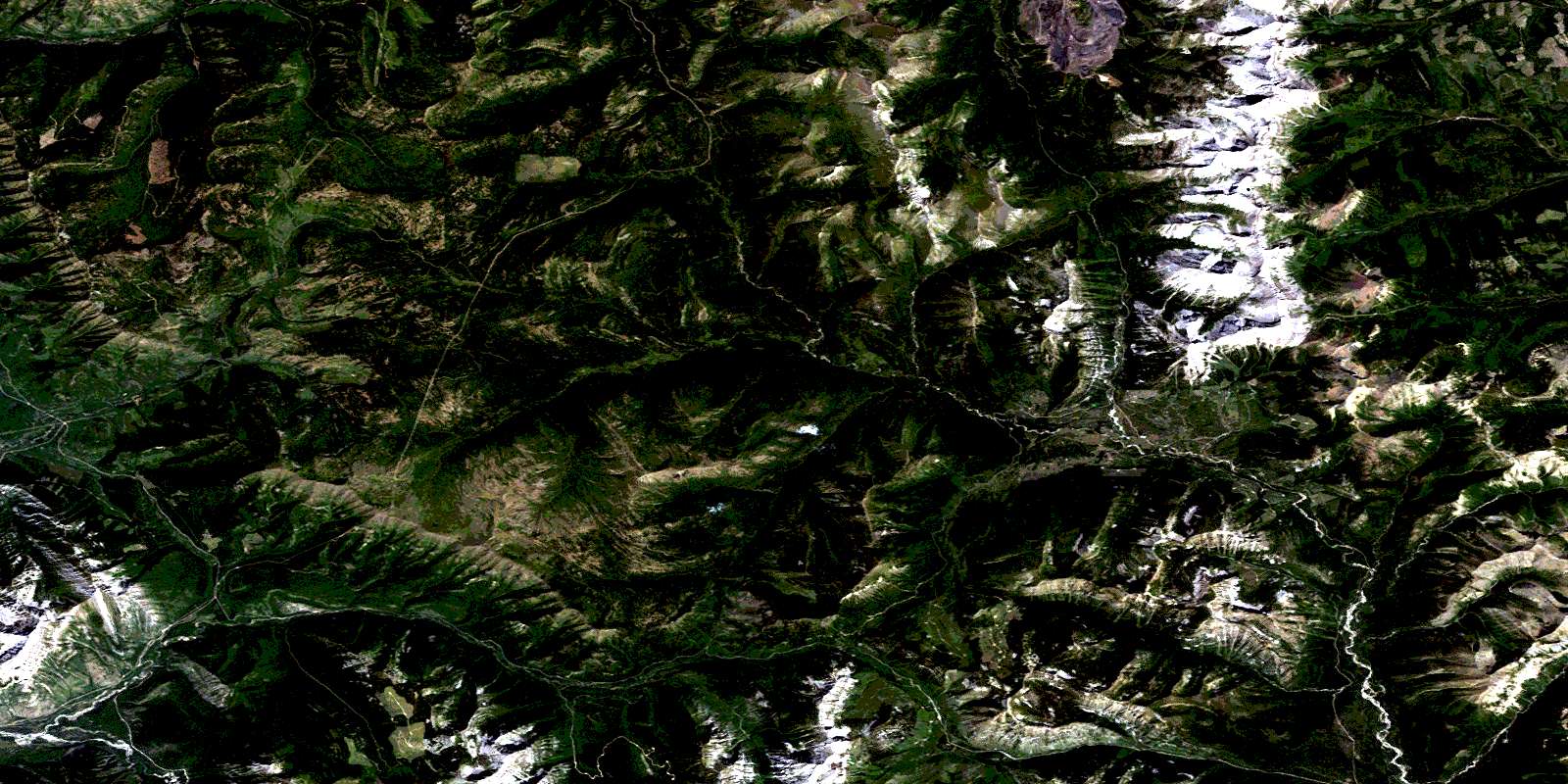
Flathead Ridge Satellite Imagery
To view this satellite map, mouse over the air photo on the right.
You can also download this satellite image map for free:
082G07 Flathead Ridge high-resolution satellite image map.
Maps for the Flathead Ridge aerial map sheet 082G07 at 1:50,000 scale are also available in these versions:
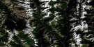
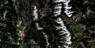
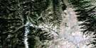
Flathead Ridge Surrounding Area Aerial Photo Maps
 |
 |
 |
 |
 |
 |
 |
 |
 |
 |
 |
 |
 |
 |
 |
 |
© Department of Natural Resources Canada. All rights reserved.
Flathead Ridge Gazetteer
The following places can be found on satellite image map 082G07 Flathead Ridge:
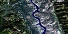
Flathead Ridge Satellite Image: Lakes
Barnes LakeHarvey Lake
Lodgepole Lake
Flathead Ridge Satellite Image: Mountains
Border RangesBorder Ranges
Centre Mountain
Clark Range
Clark Range
Clarke Range
Coal Mountain
Flathead Range
Flathead Range
Flathead Ridge
Galton Range
Hellebeke Mountain
Hollebeke Mountain
Hollebeke Mountain
Leach Ridge
Limestone Ridge
Macdonald Range
Michel Ridge
Montagnes Rocheuses
Montagnes Rocheuses
Morrissey Ridge
Mount Borsato
Mount Broadwood
Mount Corrigan
Mount Darrah
Mount Darrah
Mount McCarty
Packhorse Peak
Piaysoo Ridge
Rocky Mountains
Rocky Mountains
Taylor Range
Windfall Mountain
Flathead Ridge Satellite Image: Major municipal/district area - major agglomerations
Municipal District of Pincher Creek No. 9Regional District of East Kootenay
Flathead Ridge Satellite Image: Other municipal/district area - miscellaneous
Improvement District of Ranchland No. 6Flathead Ridge Satellite Image: Rivers
Abode CreekAkan Creek
Bean Creek
Blower Creek
Branch Creek
Bray Creek
Buzz Creek
Campsite Creek
Carbondale River
Cate Creek
Coal Creek
Corbin Creek
Flathead River
Foisey Creek
Fuel Creek
Goat Creek
Harvey Creek
Kisoo Creek
Leach Creek
Lodgepole Creek
Macdonald Creek
Matheson Creek
McEvoy Creek
McLatchie Creek
Michel Creek
Morris Creek
Morrissey Creek
North Lodgepole Creek
North Lost Creek
Packhorse Creek
Pincher Creek
Pineclad Creek
Pioneer Creek
Pollock Creek
Pylon Creek
Rockcleft Creek
Shepp Creek
South Lost Creek
Sportsman Creek
Squaw Creek
St. Eloi Brook
Turret Creek
West Kisoo Creek
Wigwam River
Flathead Ridge Satellite Image: Unincorporated areas
Coal CreekFlathead
Flathead Ridge Satellite Image: Valleys
Flathead PassHarvey Pass
Kisoo Pass
North Kootenay Pass
North Kootenay Pass
© Department of Natural Resources Canada. All rights reserved.
082G Related Maps:
082G Fernie082G01 Sage Creek
082G02 Inverted Ridge
082G03 Lake Koocanusa
082G04 Yahk River
082G05 Moyie Lake
082G06 Elko
082G07 Flathead Ridge
082G08 Beaver Mines
082G09 Blairmore
082G10 Crowsnest
082G11 Fernie
082G12 Cranbrook
082G13 Skookumchuck
082G14 Queen Creek
082G15 Tornado Mountain
082G16 Maycroft
