Dunrea Topo Map Online
Download Free Topo Map Sheet 062G05 at 1:50,000 scale
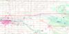
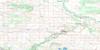
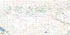
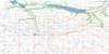
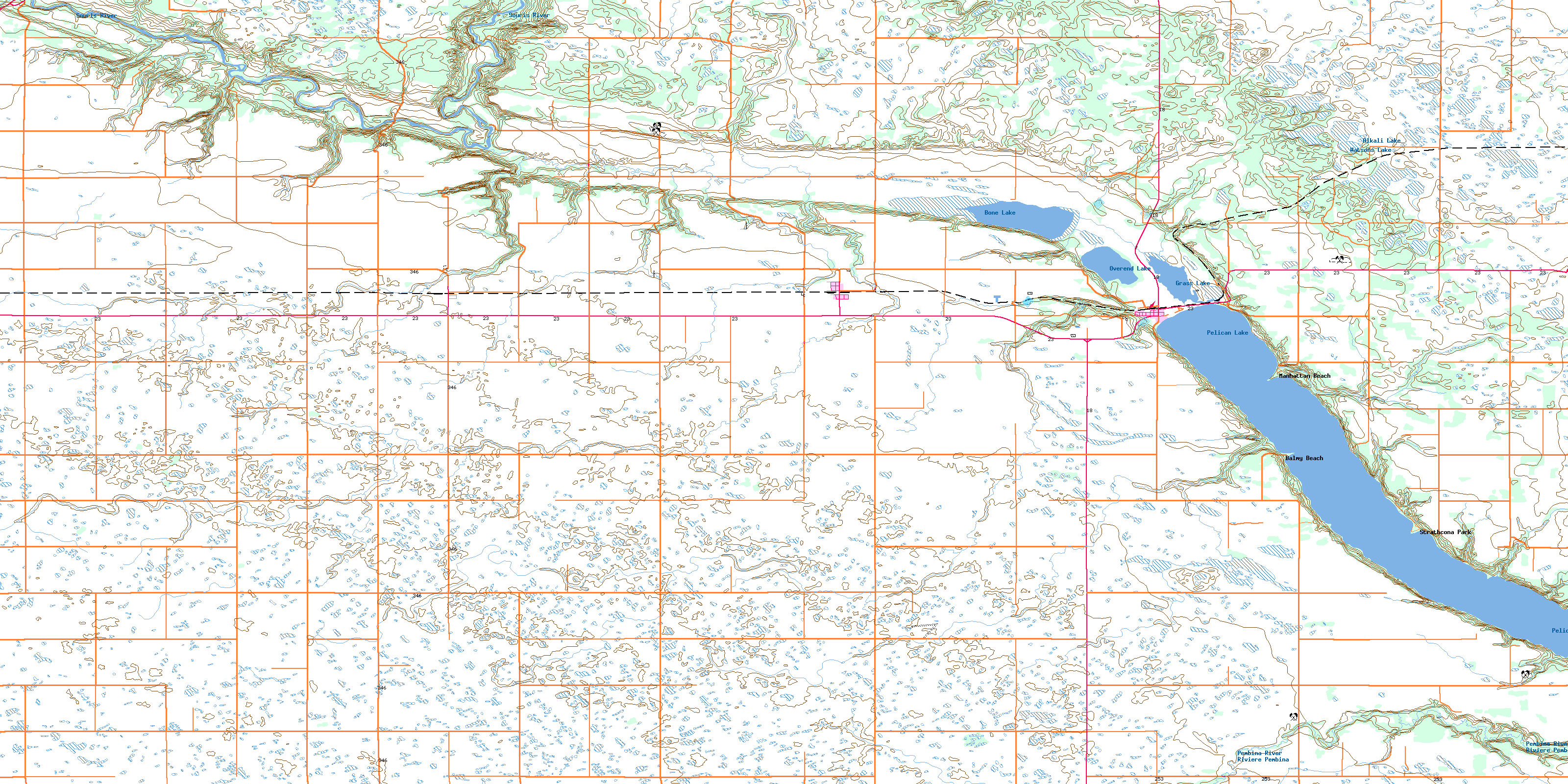
062G05 Dunrea Topo Map
To view this map, mouse over the map preview on the right.
You can also download this topo map for free:
062G05 Dunrea high-resolution topo map image.
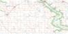
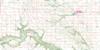
Maps for the Dunrea topo map sheet 062G05 at 1:50,000 scale are also available in these versions:
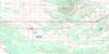
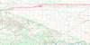
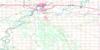
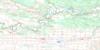
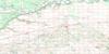
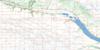
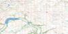
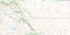
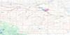
Dunrea Surrounding Area Topo Maps
 |
 |
 |
 |
 |
 |
 |
 |
 |
 |
 |
 |
 |
 |
 |
 |
© Department of Natural Resources Canada. All rights reserved.
Dunrea Gazetteer
The following places can be found on topographic map sheet 062G05 Dunrea:
Dunrea Topo Map: Capes
Cow PointY Point
Dunrea Topo Map: Lakes
Alkali LakeBone Lake
Grass Lake
Overend Lake
Pelican Lake
Watsons Lake
Dunrea Topo Map: Mountains
Nineteen HillsThe Big Tiger
Tiger Hills
Dunrea Topo Map: Other municipal/district area - miscellaneous
RiversideWhitewater
Dunrea Topo Map: Conservation areas
Pelican Lake Provincial Recreation ParkSouris River Bend Wildlife Management Area
Tiger Hills Wildlife Management Area
Dunrea Topo Map: Rivers
Pembina RiverRivière Pembina
Souris River
Dunrea Topo Map: River features
The ElbowDunrea Topo Map: Road features
McKellar BridgeDunrea Topo Map: Unincorporated areas
Balmy BeachDunrea
Fairhall
Glendinning
Langs Crossing
Langvale
Manhattan Beach
Margaret
Ninette
Pelican Point Beach
Sanatorium
Strathcona Park
Sunnyside Beach
Dunrea Topo Map: Valleys
Langs ValleyPembina Valley
© Department of Natural Resources Canada. All rights reserved.
