Baldur Topo Map Online
Download Free Topo Map Sheet 062G06 at 1:50,000 scale
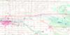
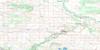
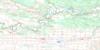
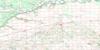
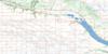
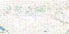
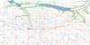
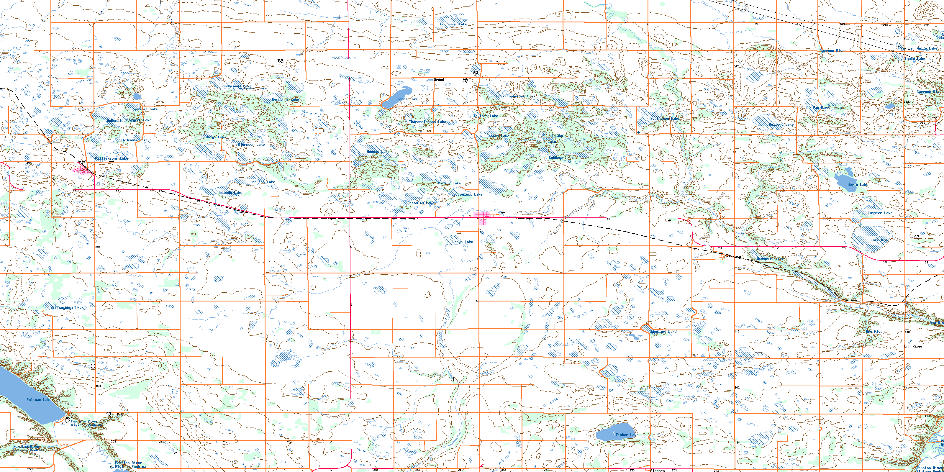
062G06 Baldur Topo Map
To view this map, mouse over the map preview on the right.
You can also download this topo map for free:
062G06 Baldur high-resolution topo map image.
Maps for the Baldur topo map sheet 062G06 at 1:50,000 scale are also available in these versions:
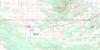
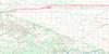
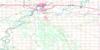
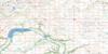
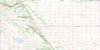
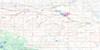
Baldur Surrounding Area Topo Maps
 |
 |
 |
 |
 |
 |
 |
 |
 |
 |
 |
 |
 |
 |
 |
 |
© Department of Natural Resources Canada. All rights reserved.
Baldur Gazetteer
The following places can be found on topographic map sheet 062G06 Baldur:
Baldur Topo Map: Beaches
Kiwanis BeachBaldur Topo Map: Hydraulic construction
Pelican Lake Inlet ChannelPelican Lake Outlet Control Structure
Pembina River Diversion
Waldon Control Structure
Baldur Topo Map: Lakes
Bellows LakeBennonys Lake
Bjornson Lake
Bottomless Lake
Breaults Lake
Christopherson Lake
Cobbes Lake
Cubbeys Lake
Doigs Lake
Fisher Lake
Gerolamy Lake
Gibsons Lake
Godard Lakes
Goodbrands Lake
Goodmans Lake
Greenway Lake
Hoseas Lake
Jones Lake
Lake Nine
Long Lake
Lorne Lake
Lussier Lake
Markus Lake
McDonalds Lake
McLean Lake
McLeods Lake
Morin Lake
Pelican Lake
Prospect Lake
Round Lake
Saltwater Lake
Springs Lake
Sveinsson Lake
Taylors Lake
Thorsteinsons Lake
Van Damme Lake
Van Der Walle Lake
Williamsons Lake
Willoughbys Lake
Wrays Lake
Wytincks Lake
Baldur Topo Map: Mountains
Elodies HillHelgasons Hill
Tiger Hills
Wytincks Hill
Baldur Topo Map: Other municipal/district area - miscellaneous
ArgyleLorne
Louise
Roblin
Strathcona
Baldur Topo Map: Conservation areas
Tiger Hills Wildlife Management AreaBaldur Topo Map: Rivers
Cypress RiverDry River
Marringhurst Creek
Oak Creek
Pelican Lake Outlet Channel
Pembina River
Pilot Creek
Rivière Pembina
Baldur Topo Map: Road features
Parks RouteRoute des parcs
Baldur Topo Map: Unincorporated areas
BaldurBelmont
Cypress River
Dry River
Glenora
Greenway
Grund
Hartney Junction
Pleasant Valley
St. Alphonse
Baldur Topo Map: Valleys
Greenway ValleyKellys Ravine
Pembina Valley
Baldur Topo Map: Low vegetation
Allards SloughBallantynes Marsh
Bardarson Slough
Brinkworth Slough
Chalmers Slough
Combers Slough
Cropley Slough
De Smets Slough
Excelsior Slough
Levreaults Slough
Martins Slough
Sigurdson Slough
Tisdales Slough
Williamsons Marsh
Woods Slough
© Department of Natural Resources Canada. All rights reserved.
