Portage La Prairie Topo Map Online
Download Free Topo Map Sheet 062G16 at 1:50,000 scale
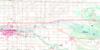
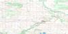
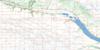
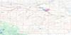
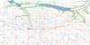
062G16 Portage La Prairie Topo Map
To view this map, mouse over the map preview on the right.
You can also download this topo map for free:
062G16 Portage La Prairie high-resolution topo map image.
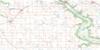
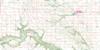
Maps for the Portage La Prairie topo map sheet 062G16 at 1:50,000 scale are also available in these versions:
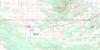
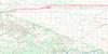
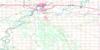
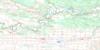
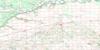
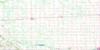
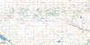
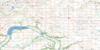
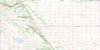
Portage La Prairie Surrounding Area Topo Maps
 |
 |
 |
 |
 |
 |
 |
 |
 |
 |
 |
 |
 |
 |
 |
 |
© Department of Natural Resources Canada. All rights reserved.
Portage La Prairie Gazetteer
The following places can be found on topographic map sheet 062G16 Portage La Prairie:
Portage La Prairie Topo Map: Beaches
Norquay BeachPortage La Prairie Topo Map: Capes
Henrys PointPortage La Prairie Topo Map: Channels
Crooked Lake ChannelPortage La Prairie Topo Map: City
Portage la PrairiePortage La Prairie Topo Map: Geographical areas
High BluffPoplar Point
Portage la Prairie
Portage La Prairie Topo Map: Hydraulic construction
Arona DrainKelvin Drain
Mount Pleasant Drain
Overhill Drain
Portage Diversion
Portage Diversion Dam
Portage Spillway Dam
Portage La Prairie Topo Map: Indian Reserves
Dakota Plains 6ADakota Tipi 1
Long Plain 6
Long Plain Sioux Indian Reserve 6A
Réserve indienne Long Plain Sioux 6A
Portage La Prairie Topo Map: Lakes
Blacks LakeCrescent Lake
George Lake
Portage Reservoir
Portage La Prairie Topo Map: Other municipal/district area - miscellaneous
GreyPortage la Prairie
South Norfolk
Portage La Prairie Topo Map: Conservation areas
Norquay Provincial Recreation ParkPortage Sand Hills Wildlife Management Area
Portage Spillway Provincial Park
Portage Spillway Provincial Wayside Park
Yellow Quill Provincial Park
Portage La Prairie Topo Map: Rivers
Assiniboine RiverElm Creek Channel
Elm River
Garriochs Creek
La Salle River
Mill Creek
Rat Creek
Rat Creek
Rivière Sale
Roes Creek
Rosedale Coulee
West Branch La Salle River
Willow Bend Creek
Willowbend Creek
Portage La Prairie Topo Map: Road features
Assiniboine TrailChemin Assiniboine
Hood Bridge
Portage La Prairie Topo Map: Unincorporated areas
AronaBloom
Burnside
Curtis
Curtis Park
Dakota Tipi
Dunn
Fort la Reine
Gervais
Hobson
Hoop and Holler Bend
Kawende
Koko Platz
Layland
Long Plain
McArthur
Mellenville
Mézierès
Mèzieres
Newton
Newton Siding
Oakville
Peony Farm
Sioux Village
Skelding
Southport
Tucker
Wingham
Portage La Prairie Topo Map: Valleys
Scott Coulee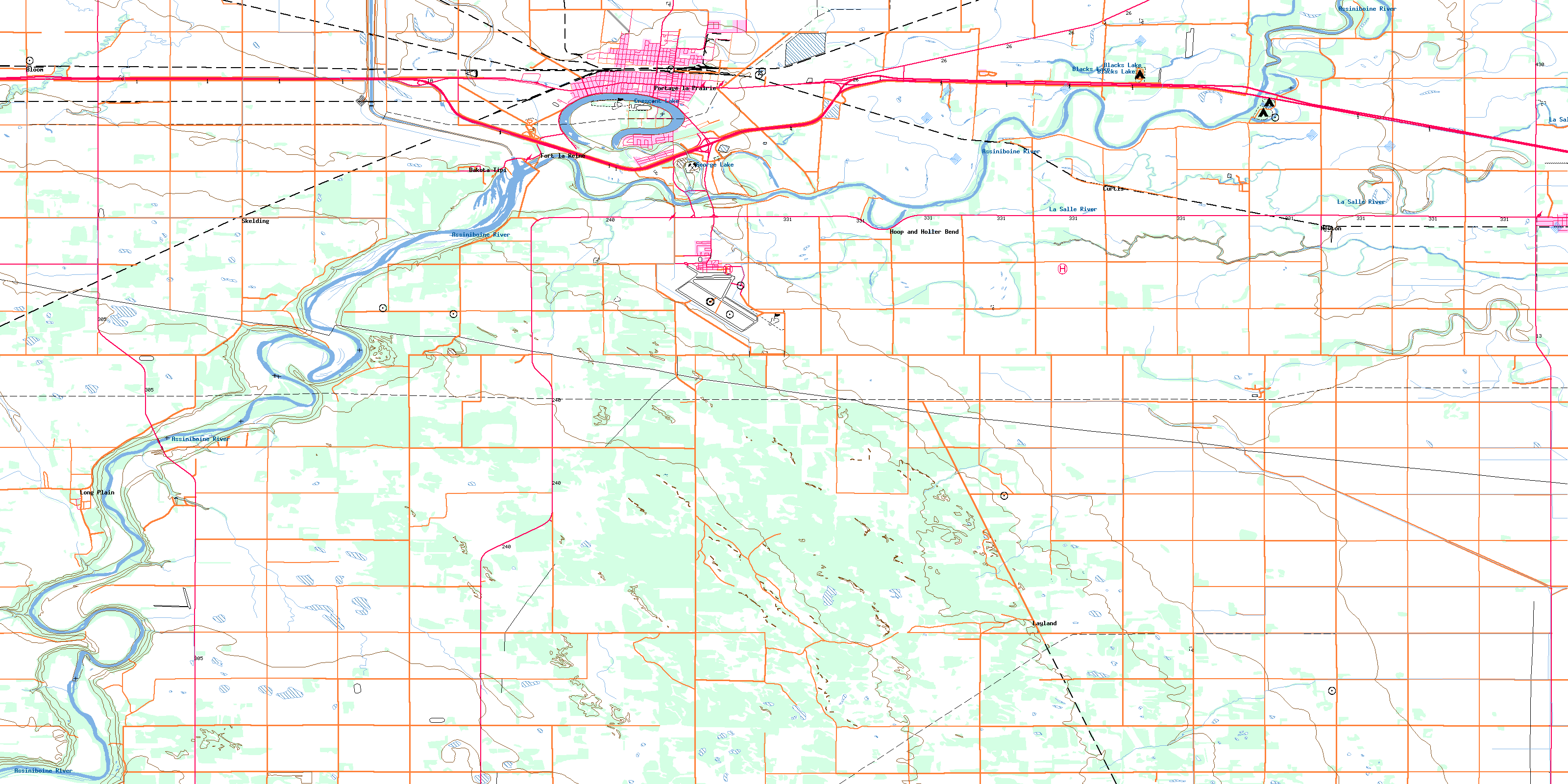
© Department of Natural Resources Canada. All rights reserved.
