Pilot Mound Topo Map Online
Download Free Topo Map Sheet 062G02 at 1:50,000 scale
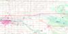
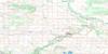
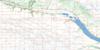
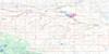
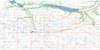
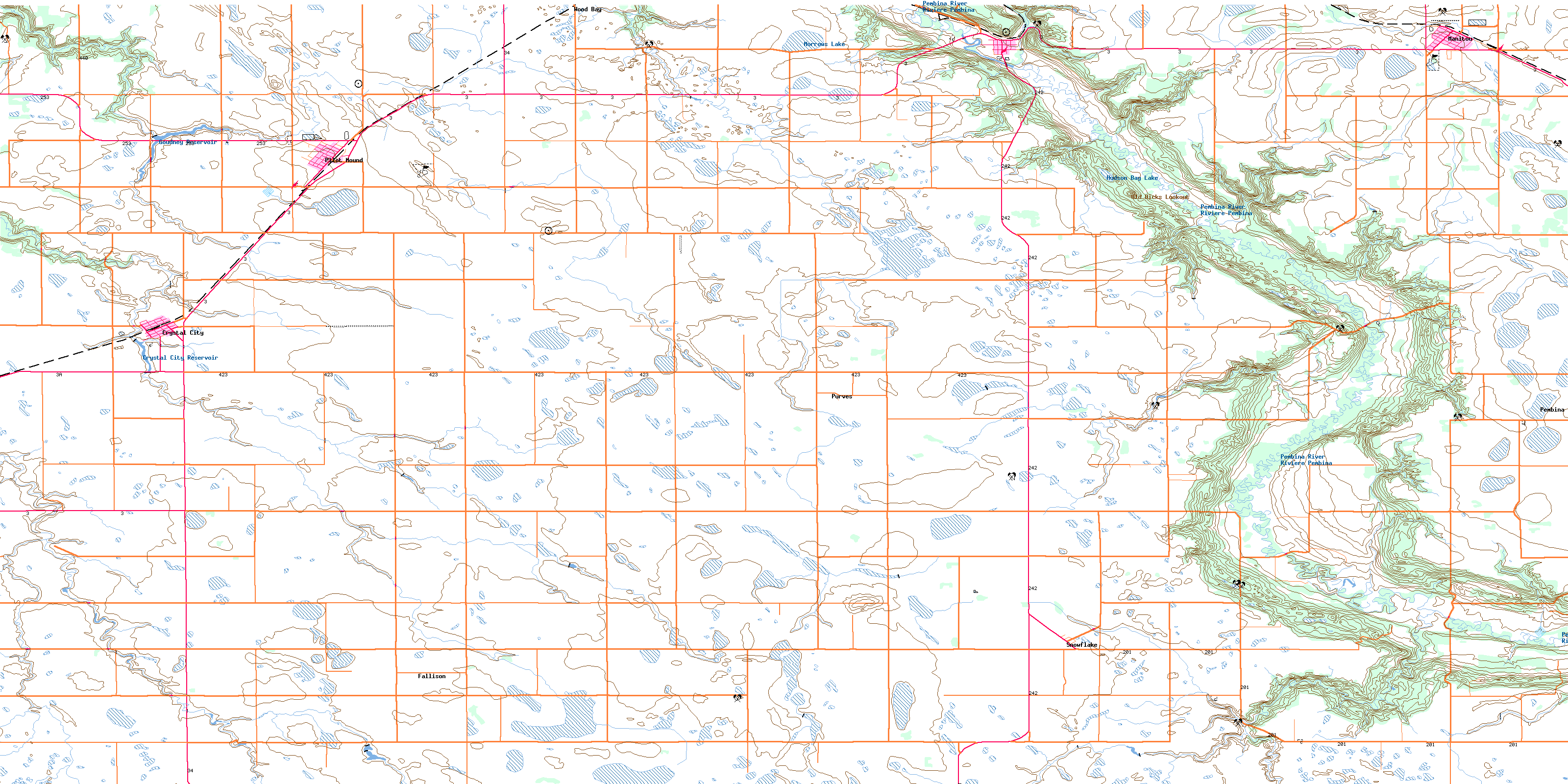
062G02 Pilot Mound Topo Map
To view this map, mouse over the map preview on the right.
You can also download this topo map for free:
062G02 Pilot Mound high-resolution topo map image.
Maps for the Pilot Mound topo map sheet 062G02 at 1:50,000 scale are also available in these versions:
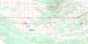
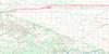
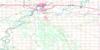
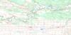
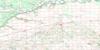
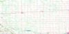
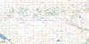
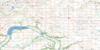
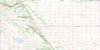
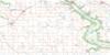
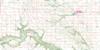
Pilot Mound Surrounding Area Topo Maps
 |
 |
 |
 |
 |
 |
 |
 |
 |
 |
 |
 |
 |
 |
 |
 |
© Department of Natural Resources Canada. All rights reserved.
Pilot Mound Gazetteer
The following places can be found on topographic map sheet 062G02 Pilot Mound:
Pilot Mound Topo Map: Capes
Rinns PointSmiths Point
Pilot Mound Topo Map: Hydraulic construction
Crystal City DamMcDonald Drain
Pilot Mound Dam
Pilot Mound Topo Map: Islands
Star MoundPilot Mound Topo Map: Lakes
Crystal City ReservoirFalcon Pond
Goudney Reservoir
Hudson Bay Lake
Morrows Lake
Pilot Mound Topo Map: Mountains
Boltons HillEagle Hill
Mount Royal
Nebogwawin Butte
Old Dicks Lookout
Pembina Hills
Pilot Mound
Shale Hill
Suicide Hill
Terrys Hill
Pilot Mound Topo Map: Other municipal/district area - miscellaneous
LouisePembina
Pilot Mound Topo Map: Rivers
Cranes CreekCrystal Creek
Cypress Creek
Long River
Mary Jane Creek
McCoys Creek
Pembina River
Pilot Creek
Rivière Pembina
Snowflake Creek
Stony Creek
Pilot Mound Topo Map: Road features
Boundary Commission - N.W.M.P. RouteConners Bridge
Maurice Ridley Bridge
Smiths Bridge
Pilot Mound Topo Map: Towns
Pilot MoundPilot Mound Topo Map: Unincorporated areas
FallisonHarbor
Hebb
La Rivière
Purves
Snowflake
Wood Bay
Pilot Mound Topo Map: Valleys
Eastwood RavineFargeys Ravine
Pembina Valley
Wightmans Ravine
Woodlots Ravine
Pilot Mound Topo Map: Low vegetation
Armstrongs SloughBannisters Slough
Boatmans Slough
Bowlers Sloughs
Broughton Slough
Browns Slough
Dews Slough
Hendersons Slough
Kingstons Slough
McDonalds Slough
McKinnons Slough
Mogridge Slough
Monts Slough
Moores Slough
Phair Slough
Platts Slough
Pollocks Slough
Robinsons Slough
Stewart Slough
Wokes Slough
Wokes Sloughs
Pilot Mound Topo Map: Villages
Crystal CityManitou
© Department of Natural Resources Canada. All rights reserved.
