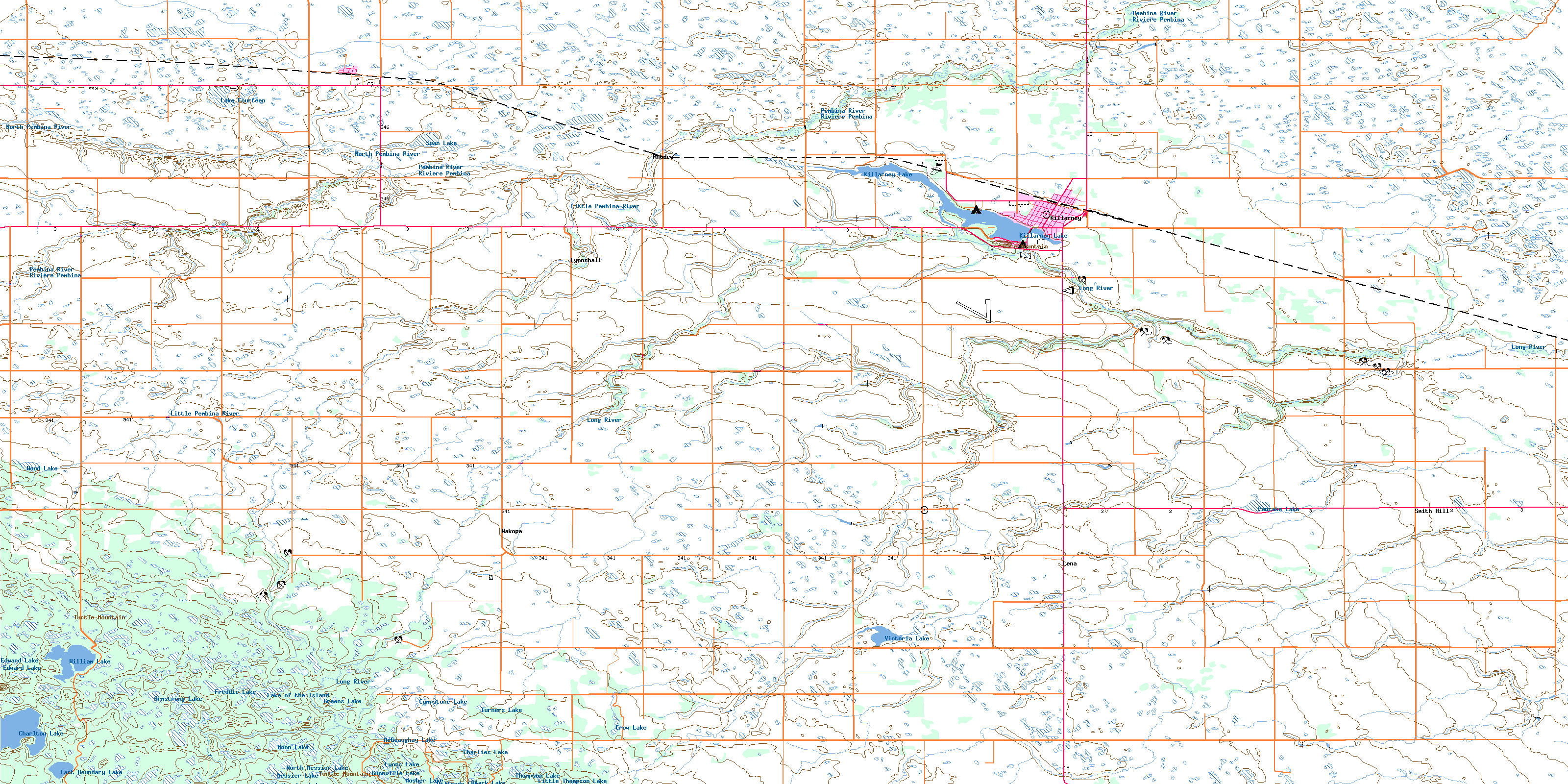
Killarney Topo Map Online
Download Free Topo Map Sheet 062G04 at 1:50,000 scale
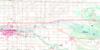
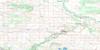
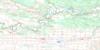
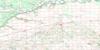
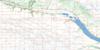
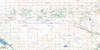
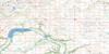
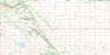
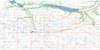
062G04 Killarney Topo Map
To view this map, mouse over the map preview on the right.
You can also download this topo map for free:
062G04 Killarney high-resolution topo map image.
Maps for the Killarney topo map sheet 062G04 at 1:50,000 scale are also available in these versions:
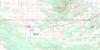
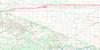
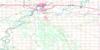
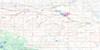
Killarney Surrounding Area Topo Maps
 |
 |
 |
 |
 |
 |
 |
 |
 |
 |
 |
 |
 |
 |
 |
 |
© Department of Natural Resources Canada. All rights reserved.
Killarney Gazetteer
The following places can be found on topographic map sheet 062G04 Killarney:
Killarney Topo Map: Bays
Catfish BayKillarney Topo Map: Hydraulic construction
Killarney DamKillarney Topo Map: Lakes
Armstrong LakeBlack Lake
Charlies Lake
Charlton Lake
Crow Lake
Cumpstone Lake
East Boundary Lake
Edward Lake
Freddie Lake
Greens Lake
Gunnville Lake
Killarney Lake
Lake Fourteen
Lake of the Island
Little Thompson Lake
Little William Lake
Lyons Lake
McGeaughay Lake
Messier Lake
Moon Lake
Mosher Lake
North Messier Lake
Pancake Lake
South Messier Lake
Susie Lake
Swan Lake
Thompson Lake
Turners Lake
Victoria Lake
Waldemar Lake
Wilfreds Lake
William Lake
Wood Lake
Killarney Topo Map: Mountains
Hare MountainTurtle Mountain
Turtles Back
Wilfreds Hill
Killarney Topo Map: Other municipal/district area - miscellaneous
MortonTurtle Mountain
Killarney Topo Map: Conservation areas
Wakopa Wildlife Management AreaWilliam Lake Provincial Park
William Lake Provincial Recreation Park
Killarney Topo Map: Rivers
Boux CreekCharlton Creek
Gimby Creek
Jackfish Creek
Killarney Creek
Little Pembina River
Long River
North Pembina River
Pembina River
Rivière Pembina
Starke Creek
Stony Creek
Wakopa Creek
Whitemud Creek
Killarney Topo Map: Road features
Boundary Commission - N.W.M.P. RouteKillarney Topo Map: Towns
KillarneyKillarney Topo Map: Unincorporated areas
AdelphaBannerman
Desford
Enterprise
Fairburn
Lena
Lyonshall
Ninga
Rhodes
Smith Hill
Wakopa
Killarney Topo Map: Low vegetation
Axels SloughBell Meadow
Fletchers Slough
Melville Meadow
Morgan Meadow
Pineapple Slough
Vigs Slough
Willow Meadow
Willow Swale
© Department of Natural Resources Canada. All rights reserved.
